Last updated: July 8, 2024
Article
NPS Geodiversity Atlas—Hot Springs National Park, Arkansas
Geodiversity refers to the full variety of natural geologic (rocks, minerals, sediments, fossils, landforms, and physical processes) and soil resources and processes that occur in the park. A product of the Geologic Resources Inventory, the NPS Geodiversity Atlas delivers information in support of education, Geoconservation, and integrated management of living (biotic) and non-living (abiotic) components of the ecosystem.

Introduction
Hot Springs National Park (HOSP) is a 2,246-hectare (5,549-acre) park located approximately 72 km (45 mi) southwest of Little Rock in the city of Hot Springs, Garland County, Arkansas. Originally established as Hot Springs Reservation in 1832, the park unit holds the oldest record of land set aside for preservation in perpetuity by the federal government. The reservation was later redesignated and renamed as a national park on March 4, 1921. HOSP protects a unique geothermal hydrologic system featuring 47 hot springs and eight historically and architecturally significant bathhouses that compose the Bathhouse Row National Historic Landmark District (National Park Service 2016a). A rare combination of lithology, geologic structure, and water availability make HOSP the only national park to provide high quality (temperature, taste, smell, color) non-volcanic geothermal springs. The geothermal setting of HOSP has been geologically stable for 200 million years and shares a rich cultural history that dates to Native American tribes and early European settlers who utilized the springs and quarried for building stone (National Park Service 2012; Thornberry-Ehrlich 2013c).
Geologic Setting
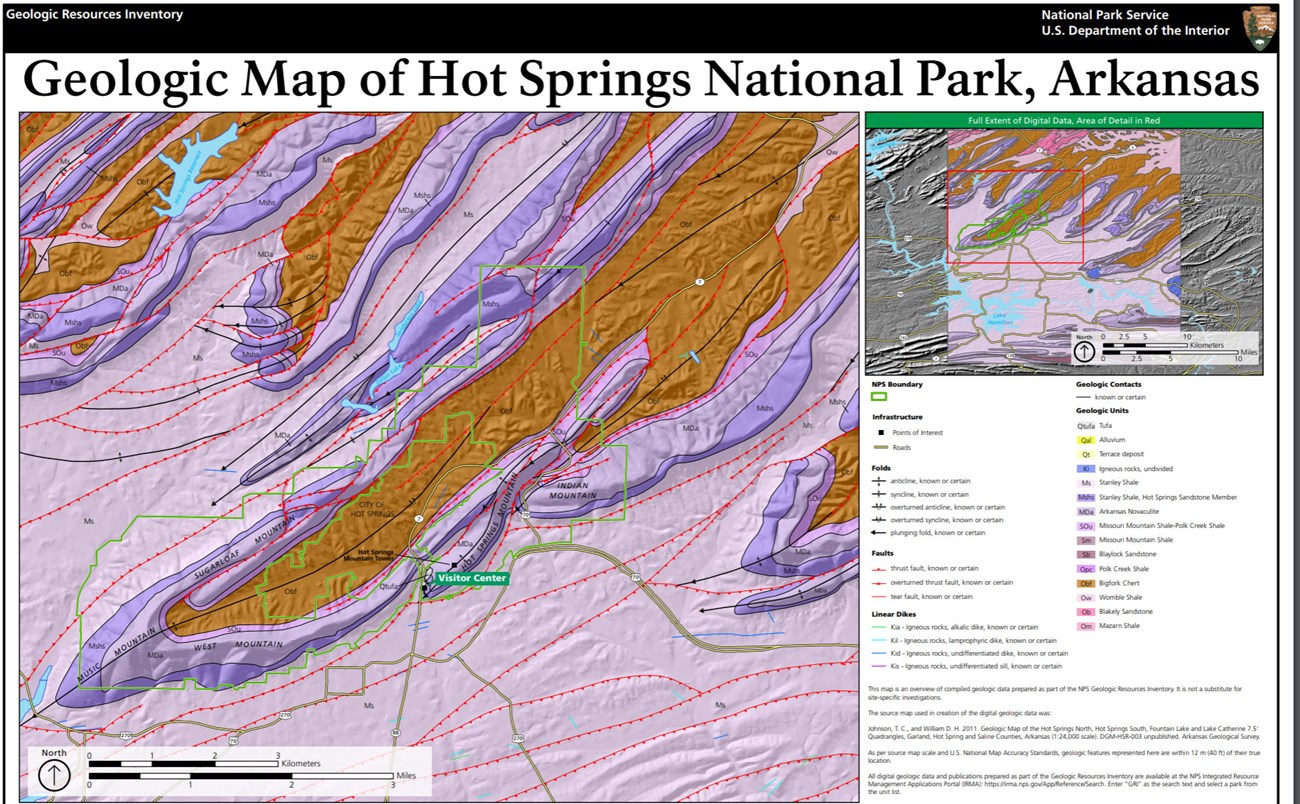
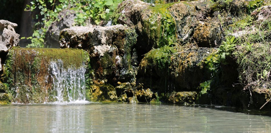
Hot Springs National Park is situated within the Zigzag Mountains subsection of the Ouachita Mountains physiographic province, a geologically complex area characterized by steep, forested, east–west-trending ridges and narrow valleys associated with the Ouachita Mountains (Thornberry-Ehrlich 2013c). Within the area of HOSP, the Ouachita Mountains represent part of an eroded regional arch known as the Benton– Broken Bow Uplift (Suneson 1995; Harry and Mickus 1998). The geology underlying the national park consists of Paleozoic sedimentary and metasedimentary rocks that include the Ordovician Bigfork Chert; Silurian Missouri Mountain Shale and Polk Creek Shale; Devonian–Mississippian Arkansas Novaculite; and Mississippian Stanley Shale and its Hot Springs Sandstone Member (Figure 34). The bedrock succession of HOSP was originally deposited over millions of years in an ancient marine basin along the southwestern margin of North America. These marine strata were subsequently compressed, fractured, and folded during the Ouachita Orogeny (mountain building event) that occurred in the late Paleozoic (Thomas et al. 2021). Folds and fractures within the bedrock are responsible for the popular geothermal features of HOSP, forming important recharge zones that allow rainwater to penetrate deep within the subsurface where it heats up via the natural geothermal gradient. Heated water re-emerges in the form of hot springs along fractures and bedding planes focused on the southwest slope of Hot Springs Mountain. Some of the youngest surficial deposits in HOSP include Quaternary tufa deposits (precipitated calcium carbonate) associated with the hot springs.
Geologic Features and Processes
The park’s 47 hot springs are a mixture of older, thermal water and younger, shallow (cool) groundwater. Both are recharged from local precipitation. The thermal water is heated by Earth’s normal geothermal gradient, meaning there is no “hotspot” beneath Hot Springs. Geologic structures, including fractured bedrock, a plunging fold, and a thrust fault create the specific conditions that allow the water to be heated at depth and rise rapidly to the surface. Geologists are still investigating and delineating the recharge areas for both the thermal and cold water components.
Geologic structures control the development and flow of the thermal system at Hot Springs. These features formed during the intense compression associated with the Ouachita Orogeny. This part of the Ouachita Mountains contains fractured bedrock, as well as abundant, nearly parallel, overturned folds cut by thrust faults. The pattern of structures is complex. Differential erosion has caused softer shales to wear away more rapidly than harder sandstones, cherts, and novaculites. These resistant rocks (novaculite and sandstone) cap most of the ridges in the Zigzag Mountains.
In addition to the geologic framework being responsible for the emergence of hot springs, the area’s geology has long attracted interest in its mineral wealth. The novaculite and sandstone were used by American Indians beginning thousands of years ago. Novaculite use for whetstones continues today.
Paleontological Resources
Marine invertebrate fossils have been discovered in the Ordovician, Silurian, Devonian, and Mississippian rocks delineated on the geologic map. Some plant and vertebrate fragments are noted from the Stanley Shale (Ms). Fossil graptolites are known from the park and are housed in the park’s museum collection.
All NPS fossil resources are protected under the Paleontological Resources Preservation Act of 2009 (Public Law 111-11, Title VI, Subtitle D; 16 U.S.C. §§ 470aaa - 470aaa-11).
Regional Geology
Hot Springs National Park is a part of the Ouachita Province and shares its geologic history and some characteristic geologic formations with a region that extends well beyond park boundaries.
- Scoping summaries are records of scoping meetings where NPS staff and local geologists determined the park’s geologic mapping plan and what content should be included in the report.
- Digital geologic maps include files for viewing in GIS software, a guide to using the data, and a document with ancillary map information. Newer products also include data viewable in Google Earth and online map services.
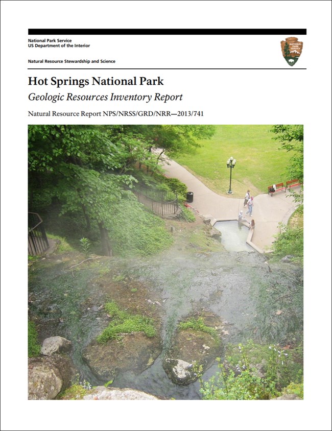
- Reports use the maps to discuss the park’s setting and significance, notable geologic features and processes, geologic resource management issues, and geologic history.
- Posters are a static view of the GIS data in PDF format. Newer posters include aerial imagery or shaded relief and other park information. They are also included with the reports.
- Projects list basic information about the program and all products available for a park.
Source: NPS DataStore Saved Search 2902. To search for additional information, visit the NPS DataStore.
A NPS Soil Resources Inventory project has been completed for Hot Springs National Park and can be found on the NPS Data Store.
Source: NPS DataStore Saved Search 2973. To search for additional information, visit the NPS DataStore.
Related Articles
Hot Springs National Park
National Park Service Geodiversity Atlas
The servicewide Geodiversity Atlas provides information on geoheritage and geodiversity resources and values within the National Park System. This information supports science-based geoconservation and interpretation in the NPS, as well as STEM education in schools, museums, and field camps. The NPS Geologic Resources Division and many parks work with National and International geoconservation communities to ensure that NPS abiotic resources are managed using the highest standards and best practices available.


