Last updated: October 14, 2024
Article
Checking Glacier's Vital Signs
NPS photo
Rocky Mountain Network Science in the Park
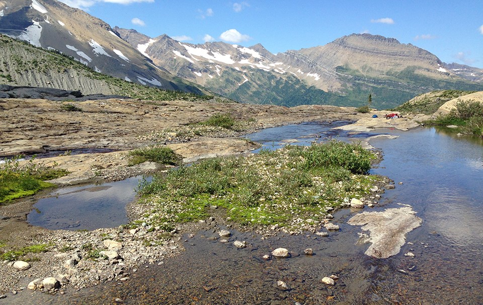
National parks are the guardians of our unique American natural and cultural history. But perhaps more than ever before, parks exist in a rapidly changing landscape. Urban growth, replacement of native species by exotics, air and water pollution, increasing visitor use, and climate change all impact the natural web of life. This leads us to ask:
How healthy are our parks?
How are they changing?
To answer these questions, the National Park Service clustered parks into 32 Inventory and Monitoring Networks. In 2007 at Glacier and nearby parks, a small team of scientists representing the Rocky Mountain Network began monitoring natural resources, called “vital signs,” that serve as red flags if conditions deteriorate. We support park managers’ efforts to make science-based management decisions.
What Do We Monitor at Glacier National Park?
Stream Ecological Integrity
NPS photo
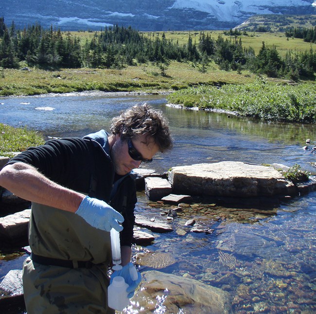
Glacier’s streams are vital resources. They anchor the hydrology (the water cycle) of the park, recycle nutrients like carbon, and provide habitat for wildlife. Visitors fish and recreate along Glacier’s pristine streams. However, they are also sensitive to a variety of stressors. Excessive nutrients, sediment, and air pollution degrade them. Climate change results in lower streamflow and higher stream temperatures by shrinking the glaciers and snowpacks that feed them. Because streams signal the effects of multiple stressors, we monitor their status and long-term trends to inform park resource managers.
NPS photo
Some resources we measure:
- Water chemistry, like pH and nitrogen concentration
- Physical habitat, like woody debris and the size of sand and cobble along the streambed
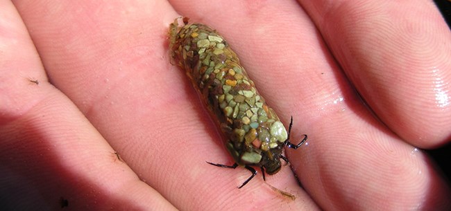
- Algae and aquatic insects
Learn more and find recent publications:
Stream ecological integrity monitoring at Rocky Mountain Network parks
View stream-related research led by Rocky Mountain Network ecologist, Billy Schweiger:
Schweiger, EW, and others. 2024. Glacier National Park stream ecological integrity: 2007–2019 trend synthesis report.
Wetland Ecological Integrity
NPS photo
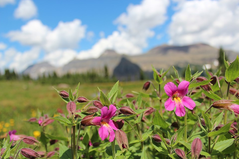
For thousands of years, glaciers have fed and shaped alpine wetlands in the park. The retreat of glaciers we are now observing changes both the amount and timing of water flowing above- and belowground through these wetlands. We monitor alpine wetlands at Glacier using an adaptation of our standard wetlands protocol to help park resource managers understand what may change. How will key species, like willows and the purple monkeyflower, be impacted? How will water temperatures, quality, and availability change? We also collaborate with park staff to monitor several low elevation wetlands with important and rare plants.
Some resources we measure:
- Water temperature
- The different plant species and forms (sedges, forbs, shrubs) in the riparian community
- Groundwater levels and the pattern of water flow across the ground surface
- Changes in the shape of stream channels (geomorphology)
Learn more and find recent publications:
Wetland ecological integrity monitoring in Rocky Mountain Network parks
View alpine wetland-related research at Glacier National Park:
McKernan, C. E. 2015. Influence of water sources on vegetation and geomorphic conditions of first order streams in Glacier National Park, Montana, USA. MS Thesis. Colorado State University, Fort Collins.
Landscape Dynamics
NPS photo
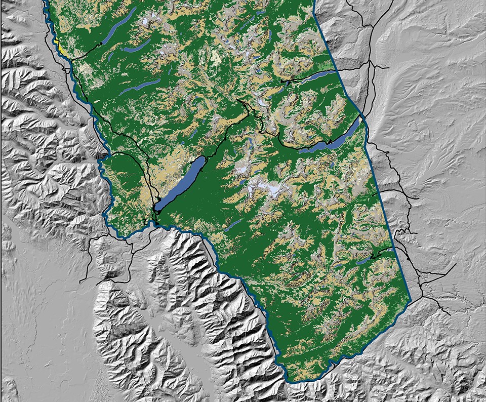
Glacier lies at the heart of the 18 million acre Crown of the Continent Ecosystem. This ecologically diverse region spans the US–Canada border and is governed by multiple landowners and uses. Along with the park, we are part of a collaborative landscape initiative led by the Crown Managers Partnership to monitor the ecosystem’s health. We analyze landscape patterns in specific “areas of analysis” in and around Glacier. This serves both our park managers as well as our ecosystem-scale partners. For example, we can compare specific conditions inside the park with adjacent lands, such as wilderness areas. We draw from a nationwide dataset of landscape variables collected through the National Park Service Landscape Dynamics program. This program produces GIS data, maps, reports, web viewers and other tools for multiple uses. GIS specialists use the geospatial data and tools. Ecologists and resource managers gain access to landscape conditions within their local and regional context. Park superintendents can incorporate the maps and graphics into reports or briefings.
We study change in the following measures over time:
- Human population
- Housing
- Roads
- Land cover
- Landscape pattern
- Climate
- Conservation status
Learn more:
Landscape dynamics monitoring in Rocky Mountain Network parks
Snow Chemistry
NPS photo
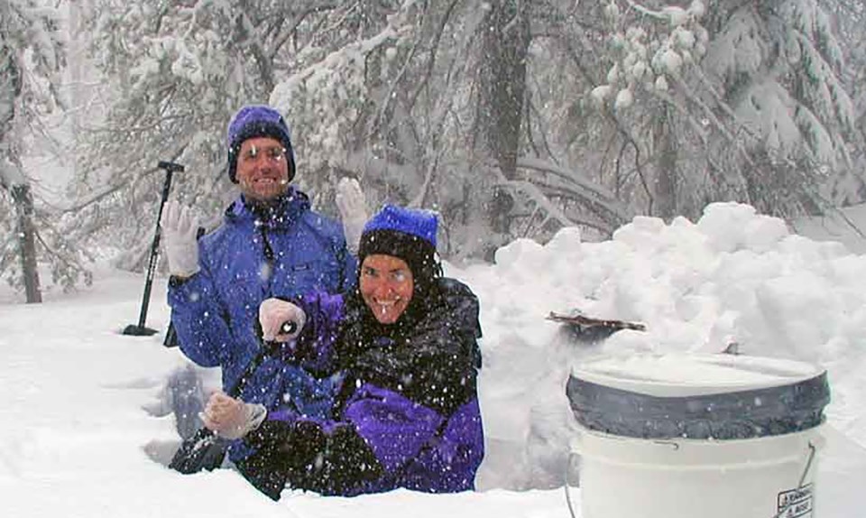
High mountain snowpack acts like a collection basket for air pollution. Particles of nitrate, ammonium, sulfate, and mercury dissolve into falling snow and concentrate in the snowpack. Each winter we sample the snowpack. Partnering with the park and US Geological Survey scientists, we decipher the chemistry to track current conditions and long-term trends. Our work also supports studies of how these pollutants affect the park and regional ecosystems.
Some resources we measure:
- Dissolved concentrations of air pollutants, including nitrate, ammonium, and sulfate
- Total mercury concentration
- Snow depth and the amount of water contained in the snowpack (snow water equivalent)
Learn more and find recent publications:
More Information and Vital Sign Publications
Download a printable pdf of this article.
Prepared by Sonya Daw and the Rocky Mountain Network staff.
Tags
- glacier national park
- gis
- landscape dynamics
- mercury
- monitoring
- resource management
- snow chemistry
- ecological integrity
- rocky mountain network
- inventory and monitoring division
- im
- groundwater dynamics
- surface water dynamics
- water chemistry
- aquatic macroinvertebrates and algae
- wetland communities
- riparian communities
- air contaminants
- land cover and use
- romn
- vital sign
- ccrlc
- featured article
