Last updated: December 2, 2025
Article
SECN Highlights June 2025


NPS / SECN
Two Decades of Data!
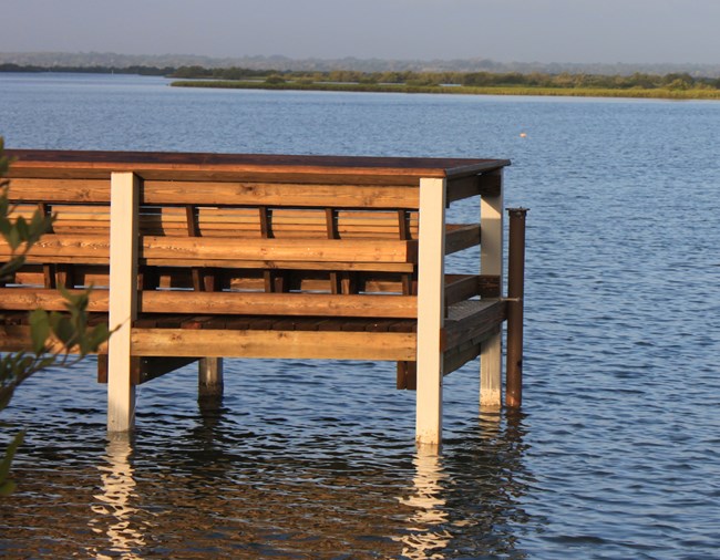
Summary Information Now Available for SECN’s Estuarine Water Quality Program
The Southeast Coast Network began estuarine water-quality monitoring as early as 2005, depending on the park and partners involved. In preparation for an unknown future, the network has been hard at work to finish all data QA/QC and produce summary information for each fixed monitoring station. The network has operated 13 monitoring stations since its inception and nine of these are still active. Eight sites are in estuaries, and one is in a freshwater creek at Congaree National Park. At each site sondes (aka data loggers) have been deployed to record readings every 15 or 30 minutes for the following parameters: depth, dissolved oxygen, pH, salinity/specific conductance, turbidity, water temperature, and chlorophyll/blue green algae (at select sites). In locations where local entities are not monitoring nutrient concentrations, the network frequently samples to determine concentrations of chlorophyll a, dissolved inorganic nitrogen (DIN), dissolved inorganic phosphorus (DIP), total dissolved nitrogen (TDN), total dissolved phosphorus (TDP) and evaluate water clarity. These parameters serve as indicators of eutrophication (excess nutrients in the water). When taken together, the continuous and discrete nutrient data help determine the status and tendencies in water-quality near selected monitoring sites. In addition, these data can highlight nutrient related issues that may negatively impact aquatic resources. With data in hand, resource managers can work with local partners and municipalities on specific issues. Please send an email to eric_starkey@nps.gov if you would like a download link to park specific data, graphs and summary information.
SECN_EstuarineWQ_FS_SummaryGraphs
These files briefly describe the condition of each parameter and highlight any anomalies or issues. While the downloadable summary information does not contain all the content typically found in a report, it serves as a jumping off point for bigger discussions, questions, and analysis. Previous reports can be found here: DataStore - Collection Profile - Collection ID 3915. Lastly, fixed station water-quality monitoring is only half of the estuarine water-quality monitoring protocol. The other half is parkwide assessments conducted by the network. Reports for this effort are up to date and can be found here: https://irma.nps.gov/DataStore/Collection/Profile/3914.
Monitoring Update
Water-quality data collection at fixed-station sites was conducted in April at Congaree National Park, Fort Pulaski National Monument, Cumberland Island National Seashore, Canaveral National Seashore, Fort Matanzas National Monument, and Timucuan Ecological and Historic Preserve. Monthly visits to parks in FY2025 have been paused and sondes from fixed-station sites have been retrieved to the Athens office.

NPS / Mallorie Davis and Forbes Boyle
Round 2 at OCMU
Second Iteration of Vegetation Monitoring at Ocmulgee Mounds National Historical Park
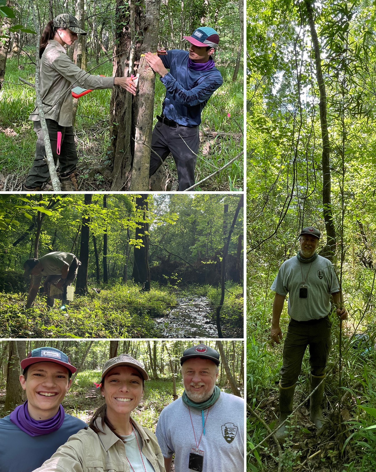
Botanist Forbes Boyle and Biological Technician Mallorie Davis conducted the second iteration of monitoring on long-term vegetation plots at Ocmulgee Mounds National Historical Park, finishing at the beginning of last month. The pair was joined by OCMU intern, Henry Decker.
One of the highlights was the abundance of river cane (Arundinaria gigantea) found on one of the bottomland forest plots within the Walnut Creek floodplain, with a few individuals found in flower. “This is only the second time I’ve ever seen Arundinaria gigantea in flower,” said Forbes. Which is not surprising, since this species of cane is known to flower only once every 40 or more years!
Plots were located across two broad habitat types, including alluvial forests within floodplains of the Ocmulgee River and Walnut Creek and upland forests surrounding park administrative structures and cultural monuments. Roughly 150 different vascular plants were observed within these vegetation plots within the park in 2025.
All 2025 vegetation monitoring data collected from Ocmulgee Mounds NHP have already been entered into the SECN vegetation monitoring database and are being processed by Forbes and Mallorie. Data collection may continue at additional parks depending on guidance from regional and national offices.
New Methodology Produces Updated Reports
Kaleidoscope Pro Software reclassifies Anuran Data Collected by the Network in 2012 and 2014
The original reports were produced using now-deprecated software. Recordings done in 2012 and 2014 were reviewed using the modern Kaleidoscope Pro Software and the species classified to improve consistency and comparability with ongoing monitoring work in the park. Data Summary Reports and Species Detection Maps for 2014 were recently published for Canaveral National Seashore, Congaree National Park, Fort Frederica National Monument, Moores Creek National Battlefield and Ocmulgee Mounds National Historical Park. The 2012 reports and maps include Cape Lookout National Seashore, Cumberland Island National Seashore, Fort Sumter and Fort Moultrie National Historical Park, Horseshoe Bend National Military Park, and Kennesaw Mountain National Battlefield Park. For IRMA links, check out Recent Publications later in this newsletter.

Recent Publications
The Southeast Coast Network recently published the following reports and datasets:
Anurans
- Anuran Community Monitoring: 2012 Data Summary-Version 2.0 for Cape Lookout National Seashore. Available at: https://doi.org/10.57830/2311145
- Anuran Community Monitoring at Cape Lookout National Seashore 2012 Data Summary: Species Distribution Maps. Available at: https://irma.nps.gov/DataStore/Reference/Profile/2311263
- Anuran Community Monitoring: 2012 Data Summary-Version 2.0 for Cumberland Island National Seashore. Available at: https://doi.org/10.57830/2311146
- Anuran Community Monitoring at Cumberland Island National Seashore 2012 Data Summary: Species Distribution Maps. Available at: https://irma.nps.gov/DataStore/Reference/Profile/2311267
- Anuran Community Monitoring: 2012 Data Summary-Version 2.0 for Fort Sumter and Fort Moultrie National Monument. Available at: https://doi.org/10.57830/2311147
- Anuran Community Monitoring at Fort Sumter and Fort Moultrie National Monument 2012 Data Summary: Species Distribution Maps. Available at: https://irma.nps.gov/DataStore/Reference/Profile/2311268
- Anuran Community Monitoring: 2012 Data Summary-Version 2.0 for Horseshoe Bend National Military Park. Available at: https://doi.org/10.57830/2311148
- Anuran Community Monitoring at Horseshoe Bend National Military Park 2012 Data Summary: Species Distribution Maps. Available at: https://irma.nps.gov/DataStore/Reference/Profile/2311270
- Anuran Community Monitoring: 2012 Data Summary-Version 2.0 for Kennesaw Mountain National Battlefield Park. Available at: https://doi.org/10.57830/2311239
- Anuran Community Monitoring at Kennesaw Mountain National Battlefield Park 2012 Data Summary: Species Distribution Maps. Available at: https://irma.nps.gov/DataStore/Reference/Profile/2311271
- Anuran Community Monitoring: 2014 Data Summary-Version 2.0 for Canaveral National Seashore. Available at: https://doi.org/10.57830/2311253
- Anuran Community Monitoring at Canaveral National Seashore 2014 Data Summary: Species Distribution Maps. Available at: https://irma.nps.gov/DataStore/Reference/Profile/2311281
- Anuran Community Monitoring: 2014 Data Summary-Version 2.0 for Congaree National Park. Available at: https://doi.org/10.57830/2311252
- Anuran Community Monitoring at Congaree National Park 2014 Data Summary: Species Distribution Maps. Available at: https://irma.nps.gov/DataStore/Reference/Profile/2311280
- Anuran Community Monitoring: 2014 Data Summary-Version 2.0 for Fort Frederica National Monument. Available at: https://doi.org/10.57830/2311240
- Anuran Community Monitoring at Fort Frederica National Monument 2014 Data Summary: Species Distribution Maps. Available at: https://irma.nps.gov/DataStore/Reference/Profile/2311279
- Anuran Community Monitoring: 2014 Data Summary-Version 2.0 for Moores Creek National Battlefield. Available at: https://doi.org/10.57830/2311244
- Anuran Community Monitoring at Moores Creek National Battlefield 2014 Data Summary: Species Distribution Maps. Available at: https://irma.nps.gov/DataStore/Reference/Profile/2311278
- Anuran Community Monitoring: 2014 Data Summary-Version 2.0 for Ocmulgee Mounds National Historical Park. Available at: https://doi.org/10.57830/2311241
- Anuran Community Monitoring at Ocmulgee Mounds National Historical Park 2014 Data Summary: Species Distribution Maps. Available at: https://irma.nps.gov/DataStore/Reference/Profile/2311272
For More About the SECN: https://www.nps.gov/im/secn/index.htm
Tags
- estuarine water quality
- estuarine water and sediment quality
- congaree national park
- fort pulaski national monument
- cumberland island national seashore
- canaveral national seashore
- fort matanzas national monument
- timucuan ecological and historic preserve
- ocmulgee mounds national historical park
- terrestrial vegetation monitoring
- kaleidoscope pro
- anuran community monitoring
- landbird community monitoring
- fort frederica national monument
- moores creek national battlefield
- cape lookout national seashore
- fort sumter and fort moultrie national historical park
- horseshoe bend national military park
- kennesaw mountain national battlefield park
- wadeable stream habitat monitoring
- southeast coast inventory and monitoring network
- secn network highlights
