Last updated: December 1, 2025
Article
SECN Highlights April 2022

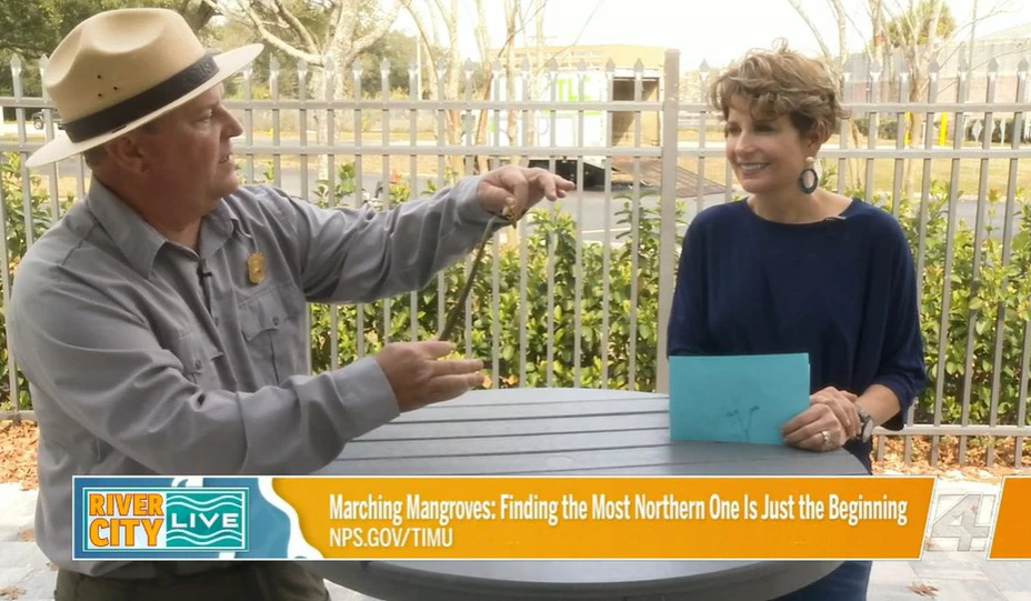
News4Jax
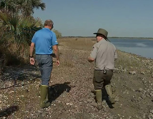
CBS 47 Jacksonville
Talking Mangroves for TV
Network Coastal Ecologist Ches Vervaeke is getting the word out about mangrove populations increasing in Northeast Florida and more specifically, in Timucuan Ecological and Historic Preserve. Ches recently talked with News4Jax's River City Live host Eden Kendall on a segment of In Your Backyard, sharing details about how mangroves get started with a little "show and tell" featuring a couple of mangrove propagules. In a CBS 47 report from meteorogist Mike Buresh, Ches explained why the mangroves have taken root at the preserve, a result of fewer hard freezes in the area. He presented the benefits including storm surge protection and greater carbon storage, but also outlined the concerns if the inevitable freeze kills off the mangroves, leaving the depleted marsh exposed to sea level rise. Along with his role of leading the network's coastal program, Ches is studying elevation dynamics of black mangroves as they expand their northern range in the University of Louisiana at Lafeyette's Environmental and Evolutionary Biology PhD program. Check out the segments here:
https://www.actionnewsjax.com/news/local/more-mangroves-growing-northeast-florida/0403dccf-0cf8-4a0e-92cb-76193c9b91f4/
https://www.news4jax.com/river-city-live/2022/02/11/why-mangroves-are-so-important-for-the-jax-ecosystem/

NPS photo / Eric Starkey
Safety First!
The Southeast Coast Network recently concluded two safety-related training courses over three days in March. Staff members across the network completed the National Safety Council's Adult CPR and AED Course, taught by Sandy Broyles from Piedmont Athens Regional Medical Center. The course covered instructions for performing CPR as well as techniques for using an AED (Automated External Defibrillator). The team then completed Wilderness and Remote First Aid Certification conducted by Lance Haynie from the University of Georgia's Recreational Sports. The class covered a wide-range of topics from initial patient assessment techniques to splinting bone and joint injuries. Along with classroom instruction, staff members got the opportunity to role play in real-life emergency scenarios staged in UGA's Whitehall Forest.
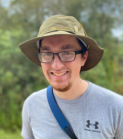
Photo courtesy of Wayne Ryan
Welcome Wayne
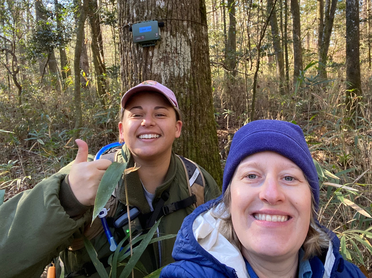
Wayne Ryan joined the Southeast Coast Network recently as a Cooperative Ecosystem Studies Unit (CESU) Intern from the University of Georgia. He will be assisting with anuran (and possibly landbird) vocalization classification, field season preparations, ARD deployment and retrieval field work, and data entry as well. Wayne is working on his masters this semester at the Warnell School of Forestry and Natural Resources under Dr. Jeff Hepinstall-Cymerman. Wayne works in the Spatial Ecology Laboratory and will be conducting field research at the USDA Forest Service Coweeta Hydrologic Laboratory in western North Carolina this summer involving bird banding, mist-netting, and point count surveys. He earned his Bachelor of Science in Biology at Western Carolina University in 2015. After graduation, Wayne hopes to work as a wildlife biologist through an agency like the NPS. He wants to help species conservation and map out where species occur in an effort to help them. Originally from Emerald Isle, North Carolina, his hobbies include going out hiking, birding, traveling to new areas, roller coaster parks, and board game nights.
Shoreline Change Data Now Available
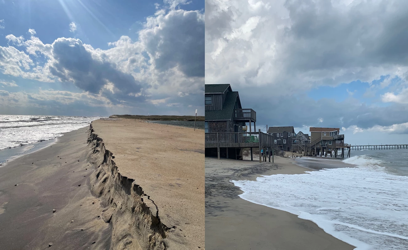
Shoreline change geodatabases are now available to the public for all parks in the Southeast Coast Network where shoreline change monitoring is implemented. Files have been uploaded for Canaveral National Seashore, Cape Hatteras National Seashore (including special post-Hurricane Dorian coverage), Cape Lookout National Seashore, Cumberland Island National Seashore, Fort Matanzas National Monument, and Timucuan Ecological and Historic Park. The geodatabases are available on IRMA at https://irma.nps.gov/DataStore/Reference/Profile/2287235. For more information, contact Wendy Wright, SECN Data Manager at e-mail us.
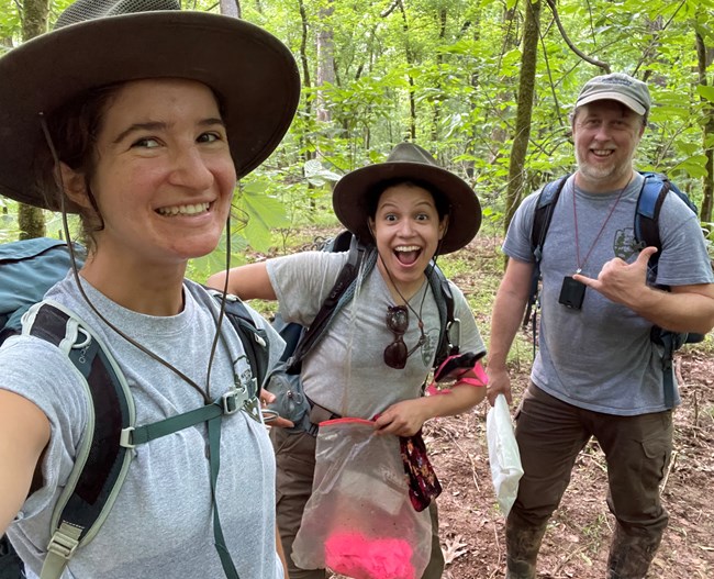
NPS photo / Claire Schmidt
Goodbye Claire!!!
Coastal technician Claire Schmidt is leave the Southeast Coast Network this month to pursue other opportunities. She joined the network in December 2020. Among her many accomplishments, Claire transitioned the shoreline protocol from ArcMap to ArcGIS Pro (mostly, aside from DSAS), revamped the shoreline metadata system so that it is compatible with ArcGIS Pro, and created new ArcGIS online dashboards for shoreline data. One of her biggest accomplishments was leading the shoreline program during a transition period between coastal ecologists which included coordinating and conducting the 2021 spring and fall shoreline surveys. Claire helped out beyond the shoreline, providing assistance with surface elevation table installations, and conducting salt marsh and vegetation field work. Originally from Little Rock, Arkansas, Claire earned a B.S. degree in Biology with a minor in Earth Science from Knox College (Galesburg, Illinois). Prior to her time with the Southeast Coast Network, she worked as a Geoscientist-in-the-Park at the Alaska Regional Office of the National Park Service for a year and a half, helping to develop their Structure-from-Motion remote sensing program. Good luck Claire. We will miss you!
Recent Publications
The Southeast Coast Network recently published the following reports:
- Landbird Monitoring in Southeast Coast Network parks: 2017 Summary Briefs for the following parks: Canaveral National Seashore, Congaree National Park, Fort Frederica National Monument, Moores Creek National Battlefield and Ocmulgee Mounds National Historical Park. Available at: DataStore - Resource Brief - (Code: 2288412) (nps.gov). Species Detection Maps for each park are available at: DataStore - Map - (Code: 2288416) (nps.gov)
- Terrestrial Vegetation Monitoring at Timucuan Ecological and Historic Preserve: 2019 Data Summary—Version 2.0. Available at: DataStore - Published Report - (Code: 2290196) (nps.gov)
NPS photo / Michael Parrish
NPS photos / William "Ches" Vervaeke
Tags
- timucuan ecological and historic preserve
- mangroves
- canaveral national seashore
- fort frederica national monument
- moores creek national battlefield
- congaree national park
- ocmulgee mounds national historical park
- automated recording devices
- ards
- surface elevation table
- cape hatteras national seashore
- cape lookout national seashore
- fort matanzas national monument
- cumberland island national seashore
- horseshoe bend national military park
- chattahoochee river national recreation area
- kennesaw mountain national battlefield park
- wadeable stream habitat monitoring
- wadeable stream habitat surveys
- vegetation community monitoring
- landbird community monitoring
- vocal anuran community monitoring
- coastal wetlands monitoring
- shoreline change monitoring
- water quality monitoring
- estuarine water quality
- wilderness first aid training
- secn network highlights
