Last updated: December 8, 2021
Article
Flooding and Climate Change

NPS Photo / Graphic by 4C
Climate change has had a profound effect on the weather. In areas like DC which have been historically wet, changes in atmospheric temperature can lead to more severe storms and greater precipitation. Combined, these factors fuel other extreme weather events like flooding or landslides. Part of this is the result of more water vapor in the air, due to:
- Higher humidity: Rising atmospheric temperatures allow more water to be held in the gaseous state. Think of the differences in water saturation between winter and summer!
- Increased evaporation: Warmer temperatures facilitate surface evaporation in the water cycle.
The greater volume of water vapor combined with heat and solar energy make the storms increasingly severe, whether it's in the form of summer rain storms or winter blizzards.
Increased precipitation is not the only element to the story. Riverine flooding is a huge risk in this area because it is surrounded by major waterways (i.e., the Potomac and Anacostia Rivers). More rainfall over shorter durations means that stormwater can’t drain off the surface or enter the ground fast enough to prevent flooding. Increases in flood events can cause pollution from stormwater runoff and soil erosion, which causes soils to lose essential nutrients. Oversaturation of soils then leads to landslides.
Flooding Impacts in National Capital Area Parks

NPS / 4C park illustration
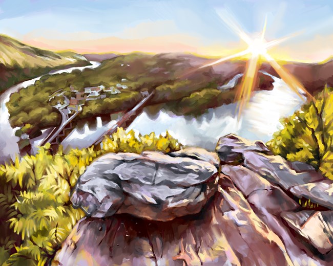
Harpers Ferry National Historical Park
Harpers Ferry National Historical Park, located where the Potomac and Shenandoah Rivers converge, has been susceptible to floods for the last 200 years. The stronger rain storms caused by climate change only increase the flood risk posed to this historic town setting. These floods destroy and erode ecosystems, damage infrastructure and archeological sites, and redistribute pollution.
Additionally, in 2018, Harpers Ferry Historical Park experienced a landslide in 2018 causing damage to and closures at the park. More than 15 inches of rain had fallen over the course of two days, oversaturating soils, destabilizing the ground and leading to a landslide on the hill over Harpers Ferry Road.

NPS Photo
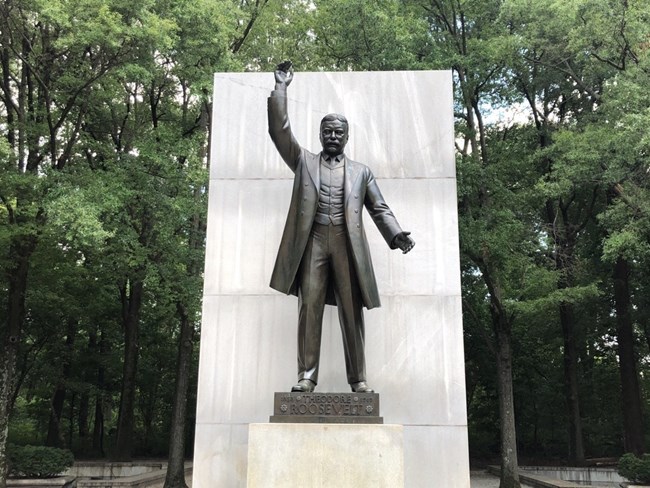
Theodore Roosevelt Island
Theodore Roosevelt Island is a “living memorial” to America’s 26th president. While the innermost memorial structures are elevated enough to remain above predicted rises in sea level water, increased flooding will limit access and recreational opportunities to the island.Infrastructure like bridges, walkways, and parking lots will have to be rebuilt in order to maintain access to this important cultural and recreational resource.

NPS / 4C park illustration
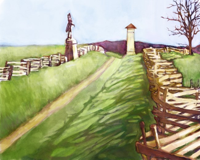
Antietam National Battlefield
More extreme rainfall in concentrated time periods will increase flooding and erosion along Antietam Creek.
Increased precipitation will also flood fields that have compacted soil. Mature trees will suffer structural damage and seedlings, and saplings on the forest floor will be exposed to more hot sunlight as a result of canopy loss, possibly limiting the amount of regeneration in forests. Other effects structural damage to built cultural resources and historical natural resources like legacy trees.

