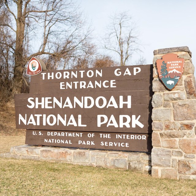
National Park Service LogoU.S. Department of the InteriorNational Park ServiceNational Park Service
National Park Service:  U.S. Department of the InteriorNational Park Service Arrowhead
Shenandoah National Park Water quality monitoring equipment used to track stream water chemistry.
view map
text size: largest larger normal
printer friendly
Shenandoah National Park
Plan Your Visit
 

Click here for the Facility Opening/Closing schedule.

Shenandoah National Park’s website can be the start of something fantastic. Use these pages and links to plan the perfect Blue Ridge Mountain getaway.


Shenandoah National Park is 105 miles long stretching from Front Royal, Virginia to the Waynesboro-Charlottesville area. Skyline Drive is the scenic roadway that takes you through the park. There are four entrances (and exits) to the park. So start by finding your best route to the park in Directions.


Then, find out what there is to see (Places to Go) and do (Things to Do) once you’re here. We hope you’ll stay awhile, so check on Lodging and Reservations to book a room or campsite.


From planning your hike to Shenandoah’s highest peak, to checking on evening entertainment, the only thing you can’t plan is where to see that bear or deer-that will have to be a surprise!

A ranger program is a unique opportunity to learn about Shenandoah National Park.
Ranger Programs
Click here for program schedule
more...
One of Skyline Drive's cement mileposts.
Getting Around
How to navigate Skyline Drive
more...
man hiking trail in fall
Hiking
Get information about hiking including downloadable maps.
more...
Learn about Shenandoah's Wilderness
Wilderness
Learn about Shenandoah's Wilderness
more...

You are exiting the National Park Service website

Thank you for visiting our site.

You will now be redirected to:

We hope your visit was informative and enjoyable.

Last Updated: July 29, 2010 at 07:05 MST