
Mark Blevins On this page, you will find the most recent trail conditions that are available to park staff. Recent wildfires throughout the parks have created tree hazards and other safety concerns for hiking in burned areas. You can help us by sending an email to report trail conditions. For more information please call the Wilderness Office at (559) 565-3766. For snowpack data, visit the California Department of Water Resources snow survey website. Trail Conditions by District Trail conditions will be updated as information is reported by park staff and backcountry users. During fall, winter, and spring seasons, and during periods when our wilderness ranger stations are not staffed, trail conditions reports are received less frequently. If conditions are not available, please speak with a park ranger or the Wilderness Permit Office for more information.
Frontcountry TrailsGiant Forest Trails05/26/2026 - Open and clear. Moro Rock05/26/2026 - Open and clear. Tokopah Falls05/26/2026 - A few downed trees on trail. Muir Grove05/26/2026 - Open. Hikers may see the impacts of the 2021 KNP Complex Fire in the area, including burned and dead trees. Learn how to stay safe in burned areas. Dorst - Lost Grove05/26/2026 Open. Hikers may see the impacts of the 2021 KNP Complex Fire in the area, including burned and dead trees. Learn how to stay safe in burned areas. Wilderness TrailsHigh Sierra Trail07/14/2026 - Between Mehrten Creek and Bearpaw there are a number of downed trees, and a washout leaving a narrow boot track. Not stock passable. Water is on at Bearpaw Meadow. Chagoopa Not stock passable due to downed trees. 06/04/2026 - Many downed trees beginning at Cahoon Meadow. Not stock passable. Silliman Pass06/04/2026 - Almost snow free, one large patch on the east side of the pass. Alta Peak Trail07/23/2026 - Snow free. Lakes Trail (Wolverton)07/03/2026 - A few downed trees on trail. The Watchtower07/03/2026 - Open Tablelands07/03/2026 - All but snow free. Colby Pass06/19/2026 - Snow all but mlted out. Elizabeth Pass07/14/2026 - Snow free. Tamarack Lake07/14/2026 - Trail overgrown and brushy. Not stock passable due to downed trees. Redwood Meadow07/23/2026 - Water turned on at Redwood Cabin, spigot in meadow is not turned on. Small stream still running in meadow. Fallen sequoia obscuring trail, flagging in place to show route around. Frontcountry TrailsMarble Falls03/27/2026 - Clear and open. Paradise Creek03/27/2026 - A few downed trees on trail. Potwisha to Hospital Rock03/27/2026 - Overgrown and difficult to follow. Wilderness TrailsMiddle Fork Trail03/27/2026 - Buckeye Flat Campground road is closed, park at Hospital Rock. Open to foot traffic only, no stock. Trail overgrown in some spots. Expect brush and downed trees. Redwood Meadow11/20/2025 - Expect winter conditions.Garfield Grove Trail (South Fork)07/02/2026 - Two major washouts below Garfield grove that make it impassable to stock travel. Trail is clear of brush and logs up to Garfield grove and open for hikers. Between Garfield Grove to Hocket trail has heavy brush and downed trees, and is difficult to follow. Ladybug Trail (South Fork)07/02/2026 - Cleared of downed logs from the trailhead to a little over halfway out. Lower Colony Mill Trail (North Fork)03/27/2026 - Overgrown and not maintained. Open to Admiration Point. Colony Mill Trail (Crystal Cave Road)03/27/2026 - Closed from Admiration Point to Crystal Cave Road due to impacts from the 2021 KNP Complex Fire. Frontcountry TrailsCold Springs Nature Trail6/1/2026 - Open. Wilderness TrailsBig Arroyo06/23/2026 - Snow free, creek crossings unremarkable. Moraine Lake Area07/23/2026 - Snow free. Paradise Ridge Trail07/23/2026 - Snow free. Timber Gap06/23/2026 - Snow free. Tar Gap/Atwell-Hocket Trails05/26/2026 - Many trees down on Tar Gap trail. Black Rock Pass06/23/2026 - Snow free. Sawtooth Pass and Monarch Lake07/14/2026 - Snow free. Farewell Gap07/23/2026 - Snow free. Franklin Lakes and Franklin Pass06/23/2026 - Patchy snow on eastern side of pass. 07/23/2026 - Snow free. Atwell-Hockett Trail06/1/2026 - Many trees down on trail. Hockett Meadows Area07/23/2026 - Snow free. Soda Creek Trail07/23/2026 - Snow free. Frontcountry TrailsGrant Grove Trails06/18/2026 - Open Panoramic Point06/18/2026 - Open Wilderness TrailsBig Meadows Road (14S11)6/18/2026 - Open Rowell Meadow Road (13S14)6/18/2026 - Open JO Pass06/26/2026 - Many downed trees, not stock passable. Seville, Ranger, and Lost Lakes and Belle Canyon07/23/2026 - A number of downed trees on the trail. Redwood Canyon (Hart Tree, Sugar Bowl, Big Springs)06/18/2026 - Maintained trail cleared from trailhead down Redwood Creek. Other routes densely overgrown with areas of extreme fire damage due to impacts from the 2021 KNP Complex Fire. Marvin Pass07/23/2026 - Many downed trees, most between Comanche Meadow and Williams Meadow. Not stock passable. Sugarloaf Valley and Roaring River6/26/2026 - Trees down on trail, not stock passable. Creek crossing are less than a foot deep. Cloud Canyon/Colby Pass06/18/2026 - Many trees down on trail, not stock passable. Brewer Creek is past waist deep and white water, an alternate crossing is approximately 40 feet down stream. Longley Pass11/20/2025 - Expect winter conditions. Deadman Canyon06/26/2026 - Numerous downed trees on trail, and significant creek crossings. Not stock passable. Weaver Lake: camp at least 100 feet away from lake06/26/2026 - A few downed trees on trail. Jennie Lake: camp at least 100 feet away from lake06/26/2026 - A few downed trees on trail. Frontcountry TrailsHotel Creek to Cedar Grove Overlook6/01/2026 - Trail clear and visable. Hikers may see the impacts of the 2024 Happy Fire in the area, including burned and dead trees. Learn how to stay safe in burned areas. Zumwalt Meadow05/26/2026 - Open River05/26/2026 - Open Cedar Grove North Side05/26/2026 - Open Lightning Creek05/26/2026 - Open Kanawyer Loop Trail05/26/2026 - Open. Avalance Creek crossing is insignificant. Bubb's Creel crossing knee deep Wilderness TrailsAvalanche Pass06/26/2026 - North side of pass has many downed trees and is not stock passable. Soth side has a few smaller sized down trees and is stock passable to pass. 11/20/2025 - Expect winter conditions. Hikers may see the impacts of the 2024 Happy Fire in the area, including burned and dead trees. Learn how to stay safe in burned areas. Copper Creek and Granite Pass06/29/2026 - Snow free. No water betweeen Grouse Lake and Granite Lake, and between Grouse Lake and Upper Tent Meadow. Woods Creek / Mist Falls / Paradise Valley (Rae Lakes Loop)06/29/2026 - Trail clear to Middle Paradise, a few downed trees between Middle Paradise and Upper Paradise. South Fork Kings River crossing is thigh deep, swift and cold. Not stock passable. The South Fork Kings River Bridge above Paradise Valley washed out during the winter of 2016-2017. Construction of a replacement bridge has not begun. Bubbs Creek (Rae Lakes Loop)06/29/2026 - Not stock passable past Charlotte Creek. Glen Pass (Rae Lakes Loop)07/07/2026 - Snow free. Rae Lakes Basin (Rae Lakes Loop)6/18/2026 - Snow free. Kearsarge Pass05/26/2026 - Snow free. The East Creek Bridge to East Lake06/18/2026 - Bubbs Creek crossing at Junction Meadow is mid calf deep. Trail mostly clear to East Lake. Sixty Lakes Basin06/11/2026 - Croissing to Sixty Lake Basin is at least knee deep. Don Cecil6/18/2026 - Snow Free Sphinx Pass07/23/2026 - All but snow free.Kennedy Pass07/23/2026 - Large downed tree between Kennedy Pass Junction and Simpson Meadow Junction blocking trail. Not stock passable. Wilderness TrailsJMT/PCT - North of Evolution Valley06/16/2026 - Evolution Creek crossing at PCT is about 3 feet deep. Going upstream not necessary. East Lake07/07/2026 - Trail mostly clear. Goddard Canyon07/07/2026 - Snow free. A good number of downed trees from JMT junction to Hell For Sure Pass. Stock not advised.LeConte Canyon11/20/2025 - Expect winter conditions. Tehipite Valley11/20/2025 - Expect winter conditions. Middle Fork Kings11/20/2025 - Expect winter conditions. Roaring River11/20/2025 - Expect winter conditions. Bishop Pass/Dusy Basin06/23/2026 - Still a significant patch of snow on north side. Palisade Creek06/23/2026 - Crossing is at least waist deep and swift. Evolution Basin06/18/2026 - Patchy snow beginning just below Evolution Lake. More snow above Saphire Lake, and full snow cover from Wanda Lake. Mather Pass07/14/2026 - North side has a few small, inconsequential snow patches. Fallen rocks make the trail difficult for stock. Darwin/Bench07/23/2026 - Snow all but melted off. Piute Pass07/23/2026 - Snow all but melted off. Muir Pass07/14/2026 - Only small, inconsequential snow patches remain. Lamarck Col07/14/2026 - Snow all but melted off. Navigation skills and off trail experence needed. Pinchot Pass07/14/2026 - Snow free. Sawmill Pass07/23/2026 - Pass closed at Into National Forest due to Rock Fire. Cainf Rock Fire Information | InciWeb Taboose Pass07/23/2026 - Pass closed at Into National Forest due to Rock Fire. Cainf Rock Fire Information | InciWeb Baxter Pass07/23/2026 - Two small patches of snow at top of pass. Kearsarge Pass05/26/2026 - Snow free. Forester Pass06/16/2026 - Patchy snow over 11,00 feet elevation, then full snow to top of pass. Harrison Pass11/20/2025 - Expect winter conditions. Shepherd Pass07/23/2026 - Snow free exceot for small patch near Inyo side of pass. Mount Whitney Trail06/29/2026 - Guitar Lake to summit is snow free. Trail Camp to Trail Camp has several moderate angle snow patches. Mt Langley11/20/2025 - Expect winter conditions. John Muir Trail (JMT)6/18/2026 - Large tree down near crossing of Piute Creek, not stock passable. Army Pass06/26/2026 - Several large snowpatches obscuring trail, and near edge of cliff. New Army Pass06/23/2026 - Deep snow patch near east side of pass. Cottonwood Pass11/20/2025 - Expect winter conditions. Miter Basin11/20/2025 - Expect winter conditions. Kern Canyon07/23/2026 - Main trail open and clear. Harrison Pass and John Dean Cutoff both overgrown. Guyot Pass11/20/2025 - Expect winter conditions. Rock Creek07/23/2026 - Snow free and creek crossings unremarkable. Siberian Pass11/20/2025 - Expect winter conditions. Siberian Outpost11/20/2025 - Expect winter conditions. 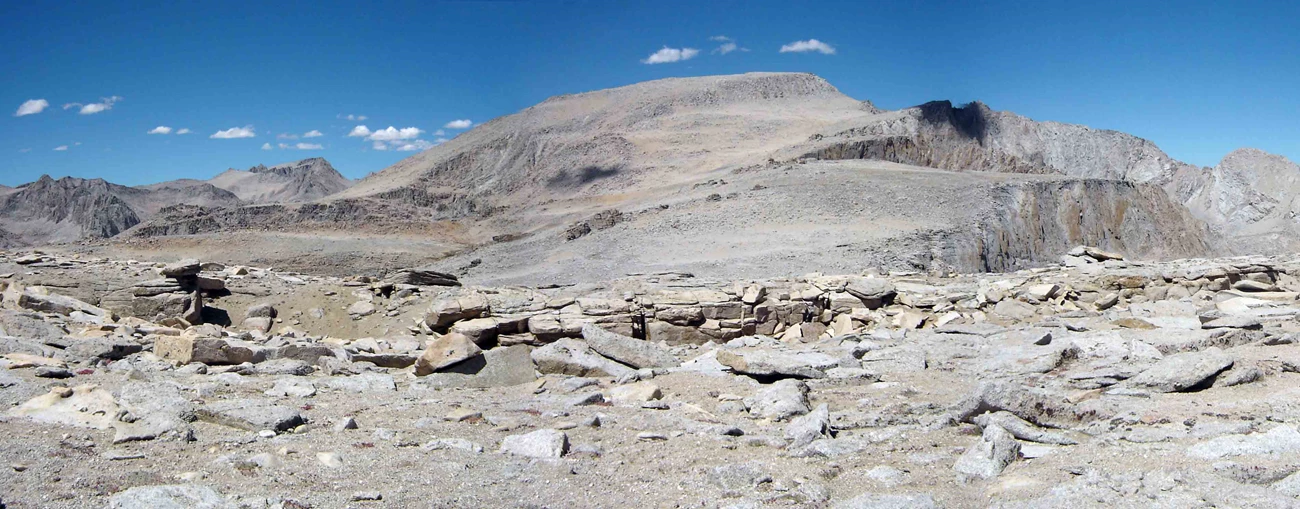
N. Ver 
Current Conditions
Check this page for current information about what's currently open in the parks. 
Wilderness Permits
Wilderness permits must be reserved in advance between Memorial Day weekend and mid-September. 
Air Quality
Ozone and other air pollutants are common here. Learn more-view our air-quality index forecast. |
Last updated: July 23, 2026