|
Upon arriving at Point Reyes National Seashore, many visitors stop by the Bear Valley Visitor Center. Here one can obtain information on current weather, road and trail conditions, or watch one of the orientation films. In the immediate vicinity of the Bear Valley Visitor Center are a few short nature trails and the Morgan Horse Ranch. A few of the more popular hiking trails start here as well. Beyond the Bear Valley Visitor Center are roads that lead to beaches, trailheads, and other points of interest, such as:
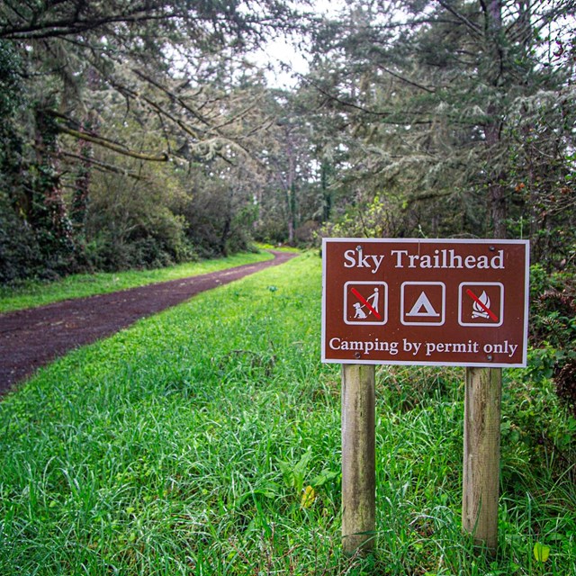
Point Reyes National Seashore is also home to the Phillip Burton Wilderness Area, where visitors can explore over 30,000 acres of forested ridges, coastal grasslands, sand dunes, and rugged shoreline.
|


Last updated: May 10, 2025