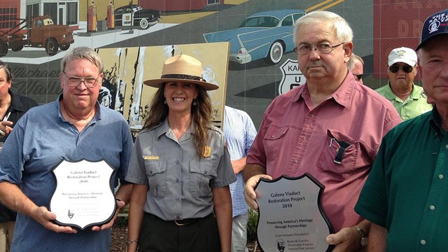
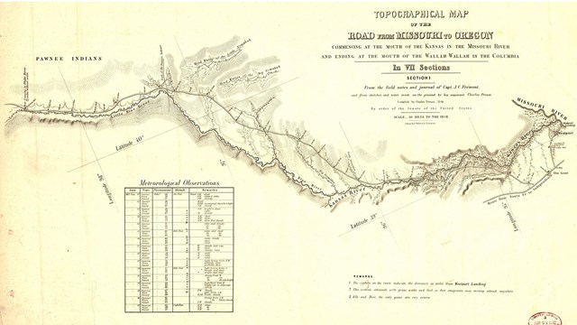
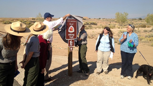
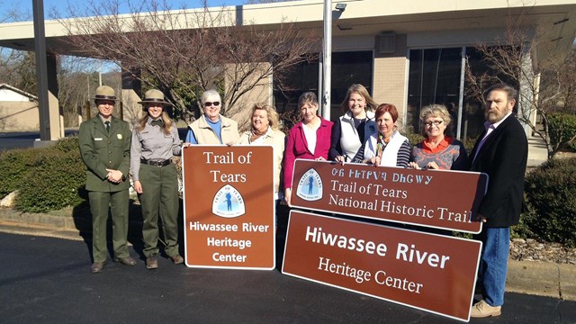
National Trails (previously named National Trails Intermountain Region) administers ten national historic trails and one historic highway that, combined, stretch for over 28,000 miles across 24 states. Partnering is our passion! We work with a diversity of partners to protect, develop, and promote these special places.

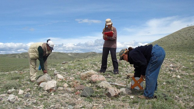
Our staff of interdisciplinary experts assist community groups, private landowners, nonprofit organizations, tribes, and federal, state, county, and local agencies with site planning and design, on-the-ground trail mapping, educational opportunities, and identifying the resources.

Do you live near one of the historic routes listed below? This website offers tools and services to develop and promote your historic sites and segments. It also shares best practices in how to care for the national historic trails. Contact us about working together!

California National Historic Trail

El Camino Real de Tierra Adentro
National Historic Trail

El Camino Real de los Tejas
National Historic Trail

Mormon Pioneer National Historic Trail

Pony Express National Historic Trail

Old Spanish National Historic Trail

Oregon National Historic Trail

Route 66 Corridor Preservation Program

Santa Fe National Historic Trail

Butterfield Overland
National Historic Trail

Trail of Tears National Historic Trail

Other National Trails:
National Trail System

speaker standing with participants seated
Management

National Trails works with partners to protect, develop, and promote national historic trails.

PowerPoint image of the Butterfield Overland Special Resource Study
Planning

Planning is the process of developing a structured approach to meet your preservation and education goals.

people standing in front Route 66 mural
Route 66 Corridor Preservation Program

it's a kick to learn about how the National Park Service is working to preserve Route 66!

Three people bend over, measuring a rock grave, grassy hills, blue skies
Cultural Resources

The cultural resource team works to protect pioneer inscriptions, wagon wheel ruts, emigrant graves, and many other cultural resources.

grass in foreground, fenced in cemetery, rock site identification sign: Santa Fe Trail
History

The history team enlightens the reader with accurate, lively accounts of forts, camps, autobiographies, diaries, events, and much more!

people in a forest who are reading outdoor exhibits
Interpretation and Education

The Interpretation team works with partners to develop interpretive media, personal and educational services, and interpretive plans.

historic map of the Oregon Trail
Resource Information Management

The RIM team helps partners with the world of GPS, GIS, mapping, metadata, and more.

people outside standing on a road unveiling a trail sign, one black dog on leash
Design and Development

D&D helps partners plan and design visitor facilities that help enhance the visitor experience of trail sites and segments.

sign on a road
How to Create Your Sign Plan

The family of roadway signs designed for the national historic trails create a unique opportunity for visitors to find these trails!

Last updated: July 20, 2023