
NPS Photo / Nathaniel Leies At nearly 53,000 acres the park is a large place to explore. Luckily, finding your way around is easy with a little trip planning. Mammoth Cave National Park is divided by the Green River that flows from east to west through the center of the park. The cave tours and most visitor services are found on the south side of the river, but the north side of the park offers backcountry camping, hiking, horseback riding, and mountain biking opportunities. Make sure to look at a map of the park before you start your journey to get familiar with the park’s layout. 
NPS Photo / Jackie Wheat Directions to the Mammoth Cave Visitor CenterThe Mammoth Cave Visitor Center and most visitor services are located in the South Side of the park. These services include:
The Visitor Center offers the best starting point for planning your day at the park. Directions to the Mammoth Cave Visitor Center
Mammoth Cave National Park Lat/Long: N 37° 11' 13.115'' ¦ W 86° 06' 05.197'' 
Eating and Sleeping
Eat and sleep comfortably at the Lodge at Mammoth Cave or opt outdoors at one of our campgrounds. There are plenty of choices to suit you! 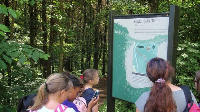
Things to Do
There are countless ways to enjoy your trip to Mammoth Cave National Park. Learn about activities you can do during your stay. 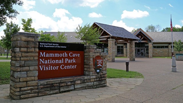
Mammoth Cave Visitor Center
Tour tickets, museum exhibits, trip planning information, restrooms, gifts -- the Visitor Center serves many of your needs and more! 
NPS Photo / Chelsea Ballard Directions to North Side Trails and CampingThe north side of the park is home to over 65 miles of scenic Backcountry Trails that are perfect for hiking, biking and horseback riding. Directions to Maple Springs Group Camping and TrailheadMaple Springs Group Campground is located just past the Green River Ferry on Green River Ferry Road (SR 1352), and is a convenient central location for trail users interested in camping, hiking, biking, or horseback riding. Follow these directions to get to Maple Springs:
Directions to Other North Side TrailheadsVisitors can access other trailheads on the north side of the park such as Lincoln, First Creek, Temple Hill, and White Oak. Access to these trailheads can be reached from Ollie Ridge Road, Houchin Ferry North Road, and Dennison Ferry Road. Check out our park Maps to help determine your route to these destinations. 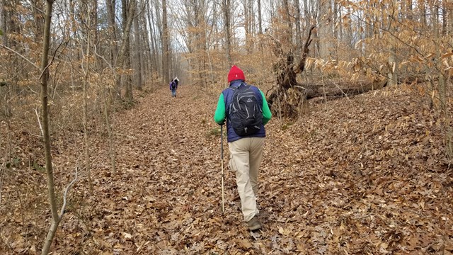
Backcountry Trails
Explore over 60 miles of trails on the north side of the park. 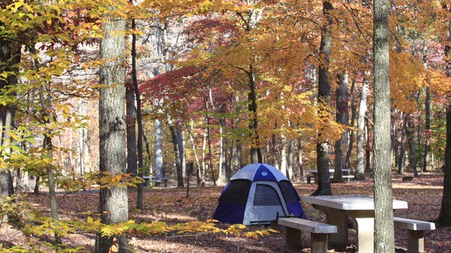
Maple Springs Campground
Group campsites, horseback group campsites, and RV campsites just a 10 minute drive from the visitor center. 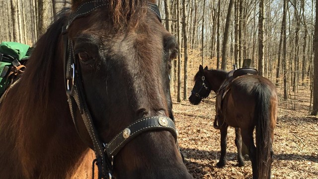
Horseback Riding
Those who love to see the world from horseback are in luck! Explore 60 miles of backcountry trails suitable for many skills and ages. Transportation to the ParkMost visitors arrive at Mammoth Cave National Park by car. The park is located very close to Interstate 65 (I-65), a major north–south highway which spans from southern Alabama to northern Indiana. Ride sharing may be available to get to Mammoth Cave National Park from some populous urban areas (e.g. Louisville, KY or Nashville, TN) but is not commonly available in the communities surrounding the park. Bicycling is a popular and green alternative to driving. Several park roads are included within the U.S. Bicycle Route System, and the 9-mile Mammoth Cave Railroad Hike and Bike Trail offers a scenic thoroughfare between Mammoth Cave National Park and Park City, Kentucky. The closest major airports are in Louisville, KY (89 miles from park headquarters) and Nashville, TN (99 miles from park headquarters). Car rentals are available at both airports. There is no public transportation in the vicinity of the park. Private taxi services may be available in some areas. There are no restrictions on the size of RVs, trailers, or buses allowed on the main park roads, but trailers and RVs may have difficulty crossing the Green River Ferry or traveling on park secondary roads. Please drive carefully and watch for wildlife, bicyclists, and pedestrians. If you are traveling to the park in an alternative fuel vehicle, your actions will help reduce greenhouse gas emissions and reduce petroleum use. Plan your trip with the Alternative Fueling Station Locator from the Department of Energy. There are no charging stations within the park. There are no bridges connecting the north and south sides of the park, but visitors can take the Green River Ferry as an alternative to highways outside the park. Ferry operations are subject to closures due to fluctuating water levels. Check the Mammoth Cave Roads and Ferry (@MCNPRoadsFerry) on X or call ahead to make sure the ferry is operating when you visit, (270) 758-2166. 
NPS Photo / C. Ballard Green River FerryThe Green River Ferry provides shuttle service for thousands of vehicles, hikers and bikers across Green River every year. Hours of operation are 6 a.m. to 6 p.m. CST. Ferry Advisories
Current and Forecasted River Levels at the Green RiverThe National Weather Service in Louisville in coordination with the Ohio River Forecast Center maintains a Daily Forecast for the Green River at Mammoth Cave National Park. Learn more about ways people have used to travel to Mammoth Cave for more than 200 years.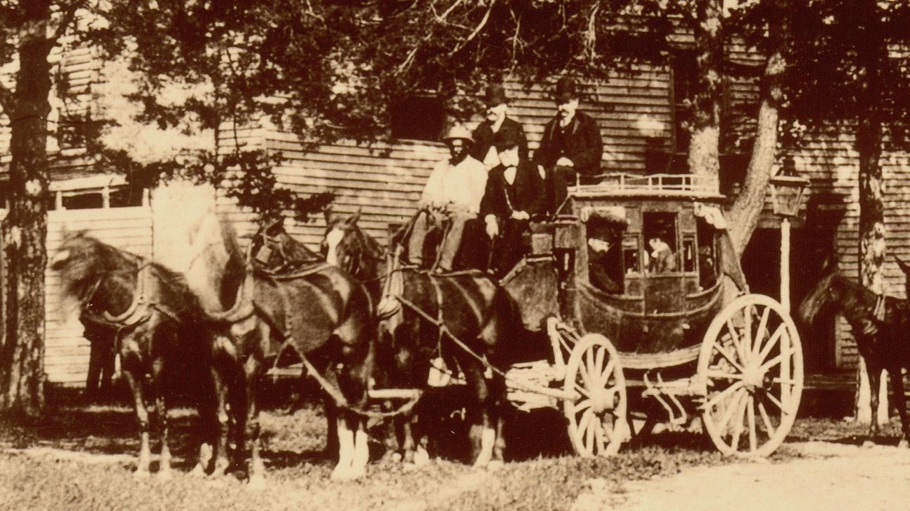
Journey to Mammoth Cave
By the time Mammoth Cave became a world-famous tourist attraction, the stagecoach was the main way for visitors to reach the cave. |
Last updated: March 3, 2026