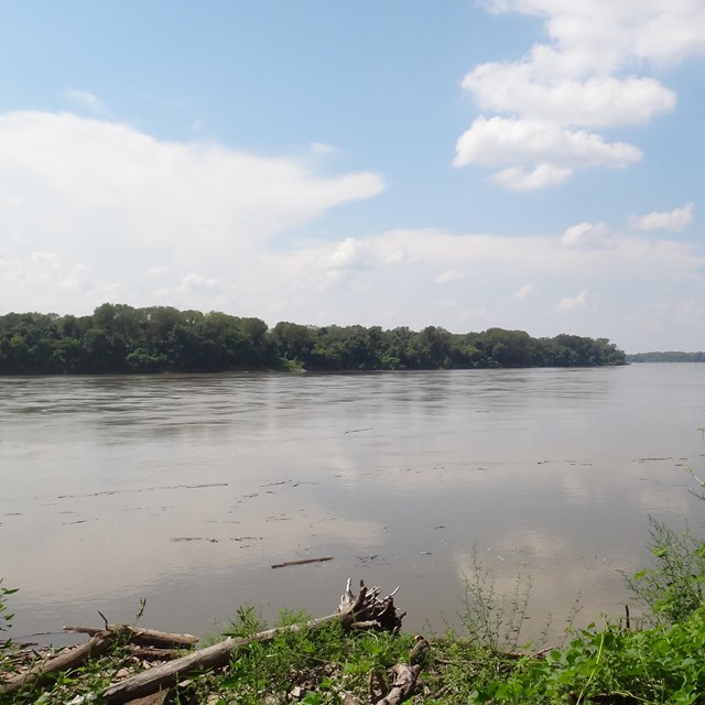
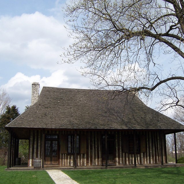
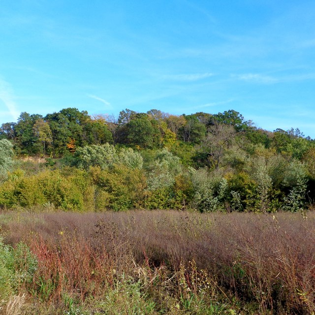
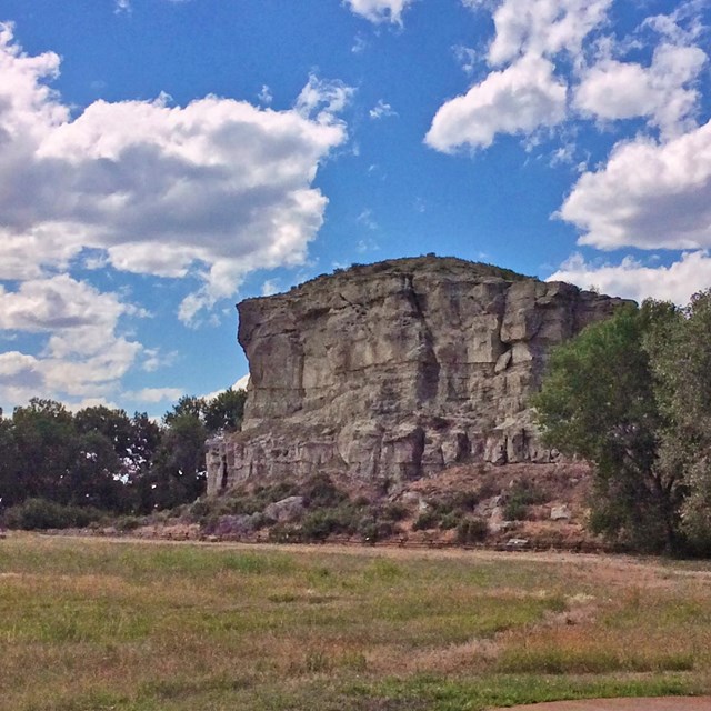
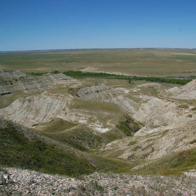
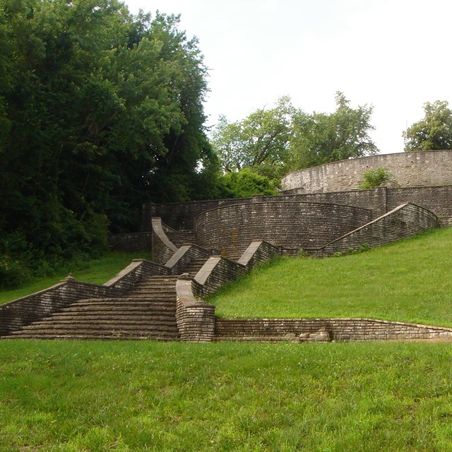
High Potential Historic Sites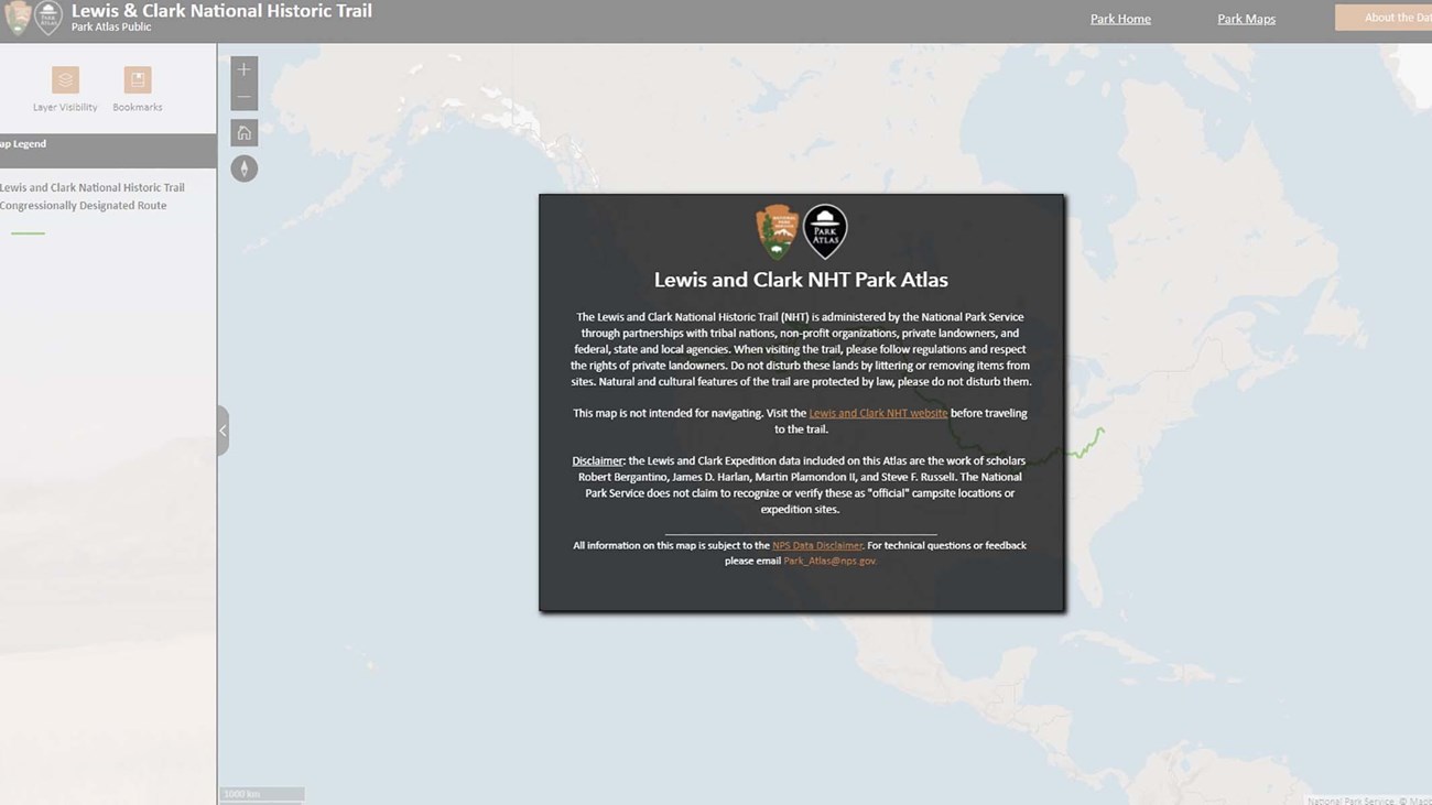
Interactive Park Atlas
The Park Atlas is an interactive map with geographic layers on Trail resources, visitor opportunities, and historic information. Planning Documents |


Last updated: April 15, 2026
Official websites use .gov
A
.gov website belongs to an official government
organization in the United States.
Secure .gov websites use HTTPS
A
lock (
) or https:// means you've safely connected to
the .gov website. Share sensitive information only on official,
secure websites.
High Potential Historic Sites
Interactive Park Atlas
The Park Atlas is an interactive map with geographic layers on Trail resources, visitor opportunities, and historic information. Planning Documents |
Last updated: April 15, 2026