Last updated: May 18, 2026
Geologic Wonder and Ancestral Homeland
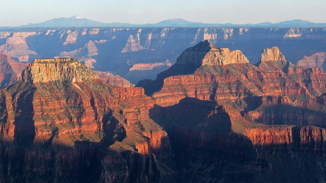
Entirely within the state of Arizona, the park encompasses 278 miles (447 km) of the Colorado River and adjacent uplands. Located on the ancestral homelands of 11 present day Tribal Communities, Grand Canyon is one of the most spectacular examples of erosion anywhere in the world—a mile deep canyon unmatched in the incomparable vistas it offers visitors from both north and south rims.

Entrance Fees and Passes
What pass should you pick? A standard or an annual pass? How much do they cost? Do you qualify for a military, senior, or access pass?
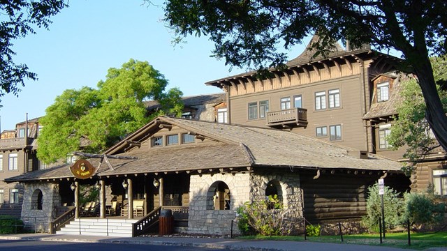
South Rim - Lodging and Camping
Reservations are recommended for both lodging and camping. The South Rim of the park is open all year.

Today's Key Hiking Messages
Know before you go! Learn about trail conditions and closures, the weather forecast, and drinking water availability inside the canyon.
What's Open Today?
Here's an updated list of South Rim hours of operation for visitor centers, restaurants, shops, and other services within the park.

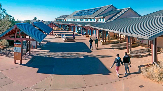
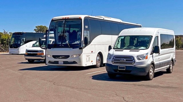
Ride the Free South Rim Shuttle Buses
Park once, then let the buses transport you from Visitor Center parking lots to scenic overlooks, trailheads, and all village services.
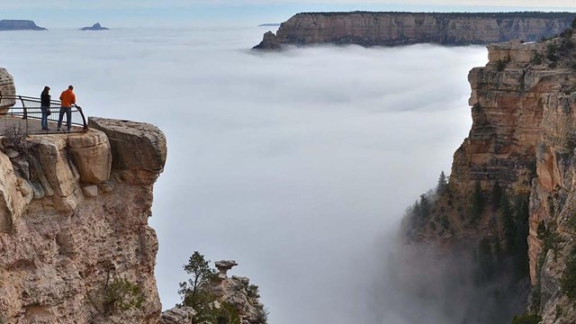
Weather, Webcams and Roads
Includes weather forecast maps and graphics. Webcams show current conditions. Road closure updates here —or call 928-638-7496 for recording.

Things To Do
Walking, hiking, bicycling, touring, stargazing, rail adventures, mule trips, guided learning —or just relaxing and taking in the view.

Programs and Special Events
Here's the calendar of this week's ranger and astronomy programs, cultural demonstrations and special events.

Backcountry Camping Permits Are Required
To camp overnight anywhere inside Grand Canyon you must first obtain a permit from the Backcountry Information Center.
North Rim - OPEN for the 2026 Season
Select areas of the North Rim have reopened for the 2026 season. Follow this link for more information.

Park Overview
Fun facts about the geology, geography, climate, history, and the park's natural and cultural resources.

Homeland of Tribal Communities
11 tribes have cultural connections to the lands and resources now found within Grand Canyon National Park.

Special Use Permits (SUP)
Special events held within the park like weddings, Rim-to-Rim extended day hikes, and large gatherings require special use permits.

Filming and Photography Permits
A special use permit is required for certain filming and still photography activities within the park.
Commercial Use Authorization (CUA)
CUAs are required for road-based tours, guided backcountry trips and all other commercial activities for visitors within the park.