Last updated: January 14, 2025
Place
Cane River National Heritage Area
Thomas Meredith
Quick Facts
Location:
Louisiana
Significance:
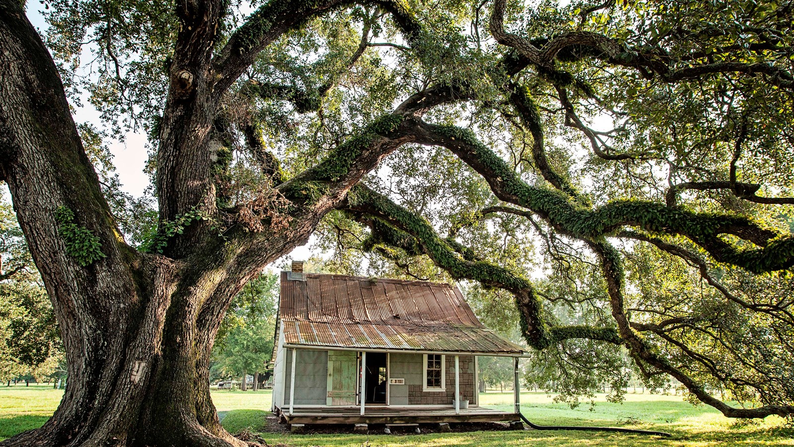
More than 300-years of history are etched into the rural landscape of colonial forts, plantations, churches, cemeteries, and homes that comprise Cane River National Heritage Area. Historically, this region lay at the intersection of the French and Spanish Realms in the New World, with the town of Natchitoches originating as an important 18th century trade center.
Designation:
National Heritage Area
MANAGED BY:
Cane River, a lake that once was the primary channel of the mighty Red River, defines the region today, just as it has for centuries. The stories of Cane River’s people are brimming with the contrasts that comprise our nation’s history-conquest and colonialism, militarism and peace, wealth and poverty, slavery and freedom.
As countries came together in this place, so did cultures. American Indians were joined by European settlers who imported many enslaved Africans to farm the land. The interaction of these groups led to the development of a distinctive Creole culture. This culture cut across racial categories and drew from many traditions but remained grounded in French colonialism and Catholicism.
This is the complex past that is etched indelibly on the landscape, in the architecture, and in the myriad cultural traditions that have been passed down through generations.
This Heritage Area Includes the following sites:
- Cane River Creole National Historical Park
- Oakland Plantation
- Magnolia Plantation
- Melrose on the Cane
- El Camino Real de los Tejas National Historic Trail
- Kisatchie National Forest
- Los Adaes State Historic Site
- Fort Saint Jean Baptiste State Historic Site
- City of Natchitoches, National Historic Landmark District
- St. Augustine Catholic Church and Cemetery
- Briarwood Nature Preserv
- Grand Ecore Visitor Center
- Fort Jesup State Historic Site