National Park Service LogoU.S. Department of the InteriorNational Park ServiceNational Park Service
National Park Service:  U.S. Department of the InteriorNational Park Service Arrowhead
Chattahoochee River National Recreation AreaWalking at Cochran Shoals - An NPS Photo
view map
text size:largestlargernormal
printer friendly
Chattahoochee River National Recreation Area
Things To Do
 

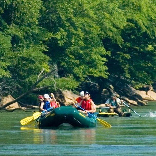
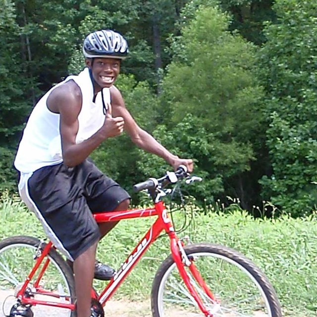
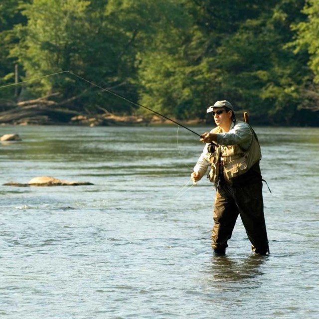
The Chattahoochee River is a great place for a picnic, a leisurely walk, or boating on a sunny afternoon. The 48 miles of of the river that the park contains can take up the whole day or just a few hours for a quick getaway from the fast pace of the city life.

 
Station_Camp_icon
Most of the river flows at a very lazy pace, but portions can contain up to Class 2 rapids.

In the Cochran Shoals area, bike riding is permitted (on designated trails) and a mountain bike area is provided for the more daring. Horseback riding enthusiasts can travel to Bowmans Island for a peaceful ride on the trails there.

 
Skull Boat at Dock - Photo by Tom Wilson
Boat Ramp Closures Starting June 2006-2007
Some boat ramps may be temporarily closed since a year long river access improvement project began.
more...
Water Quality
For Your Health
Check the water quality on the Chattahoochee River.
more...
Picnic Area at Island Ford
Interested in a Group Event at the Park?
Get information on pavilion rentals here!
more...
Mist forming on the Chattahoochee - Photo by Tom Wilson  

Did You Know?
Typically, rivers meander and change course over time. However, the Chattahoochee River is one of the oldest and most stable river channels within the United States, since it's essentially "locked" in place, flowing along the Brevard Fault Zone.

Last Updated: December 29, 2006 at 11:54 EST