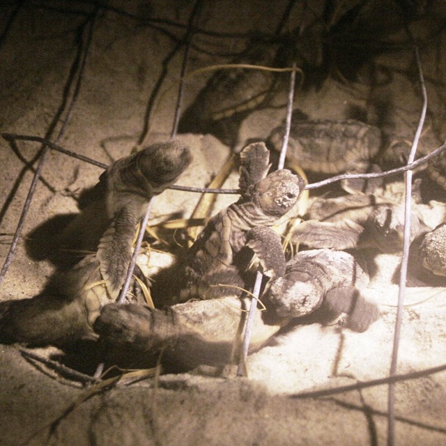
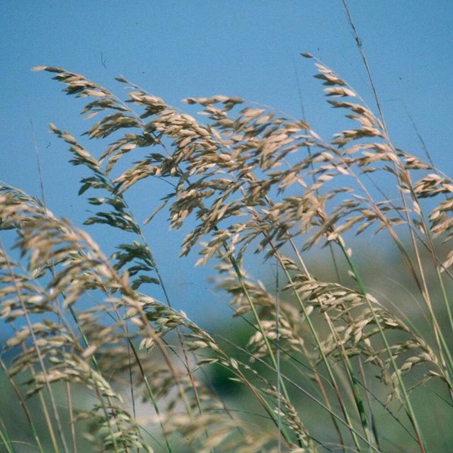
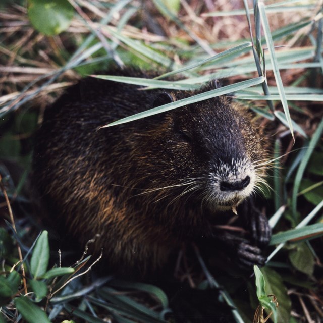
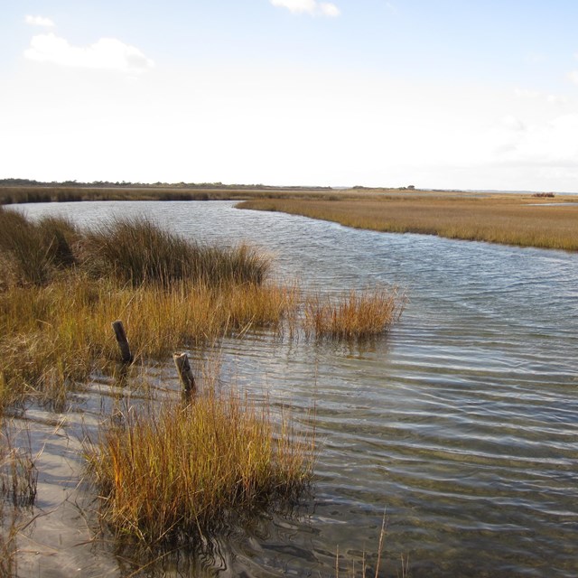
National Park Service LogoU.S. Department of the InteriorNational Park ServiceNational Park Service
National Park Service:  U.S. Department of the InteriorNational Park Service Arrowhead
Cape Lookout National Seashore Horse Harem
view map
text size: largest larger normal
printer friendly
Cape Lookout National Seashore
Nature & Science
Outer Banks of North Carolina as seen from

(original image from NASA)

The coast of North Carolina

Lying just east of the North Carolina mainland are the barrier islands that comprise the famed Outer Banks. Cape Lookout National Seashore protects the southern-most section of this barrier island system.

The upper hook, or cape, on the map to the right is Cape Hatteras. The lower is Cape Lookout--the southern tip of the park which bears its name.

Within the seashore's boundaries, the islands are without the usual man-made trappings of paved roads, resort facilities, or bridge connections to the mainland and provide pristine examples of the dynamics of natural barrier islands.

The park tracks the population levels of several special interest species. The annual reports for these monitoring efforts can be found on the Wildlife Management page.


You are exiting the National Park Service website

Thank you for visiting our site.

You will now be redirected to:

We hope your visit was informative and enjoyable.

Last Updated: January 15, 2011 at 10:32 MST