|
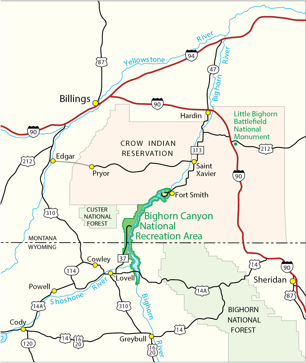
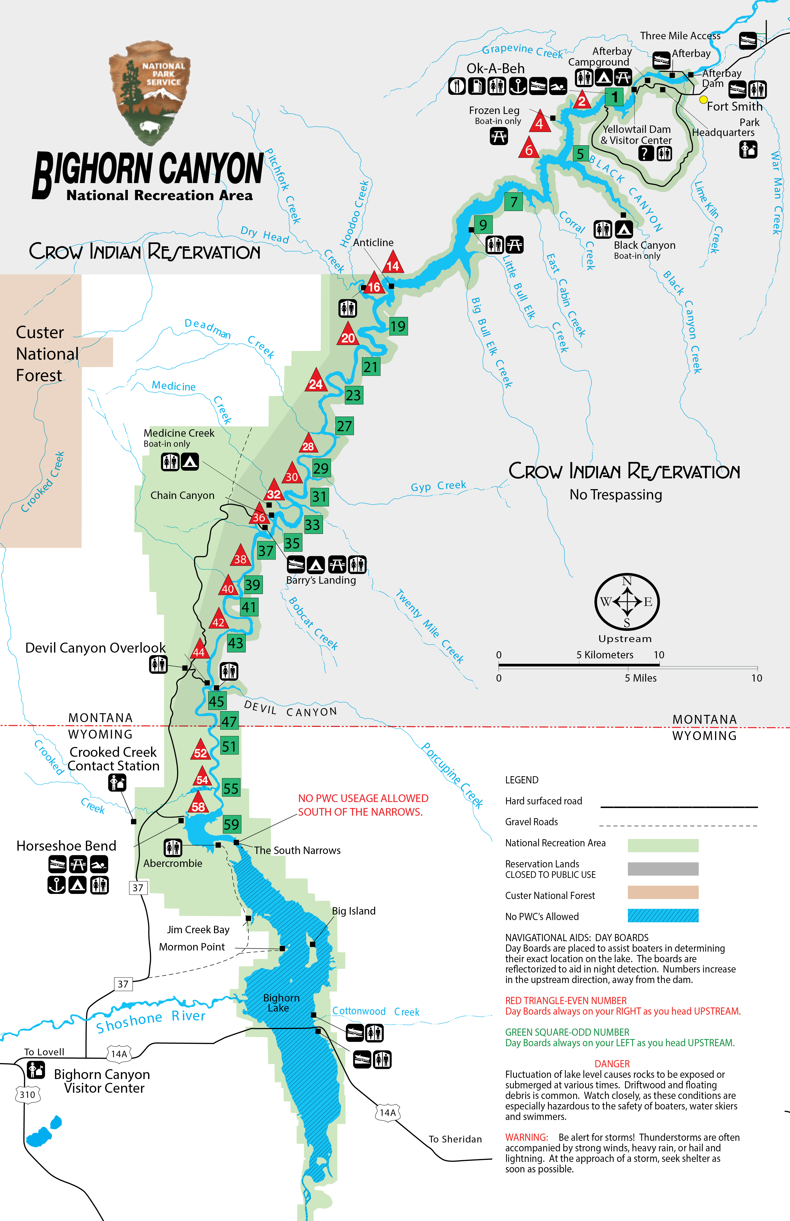
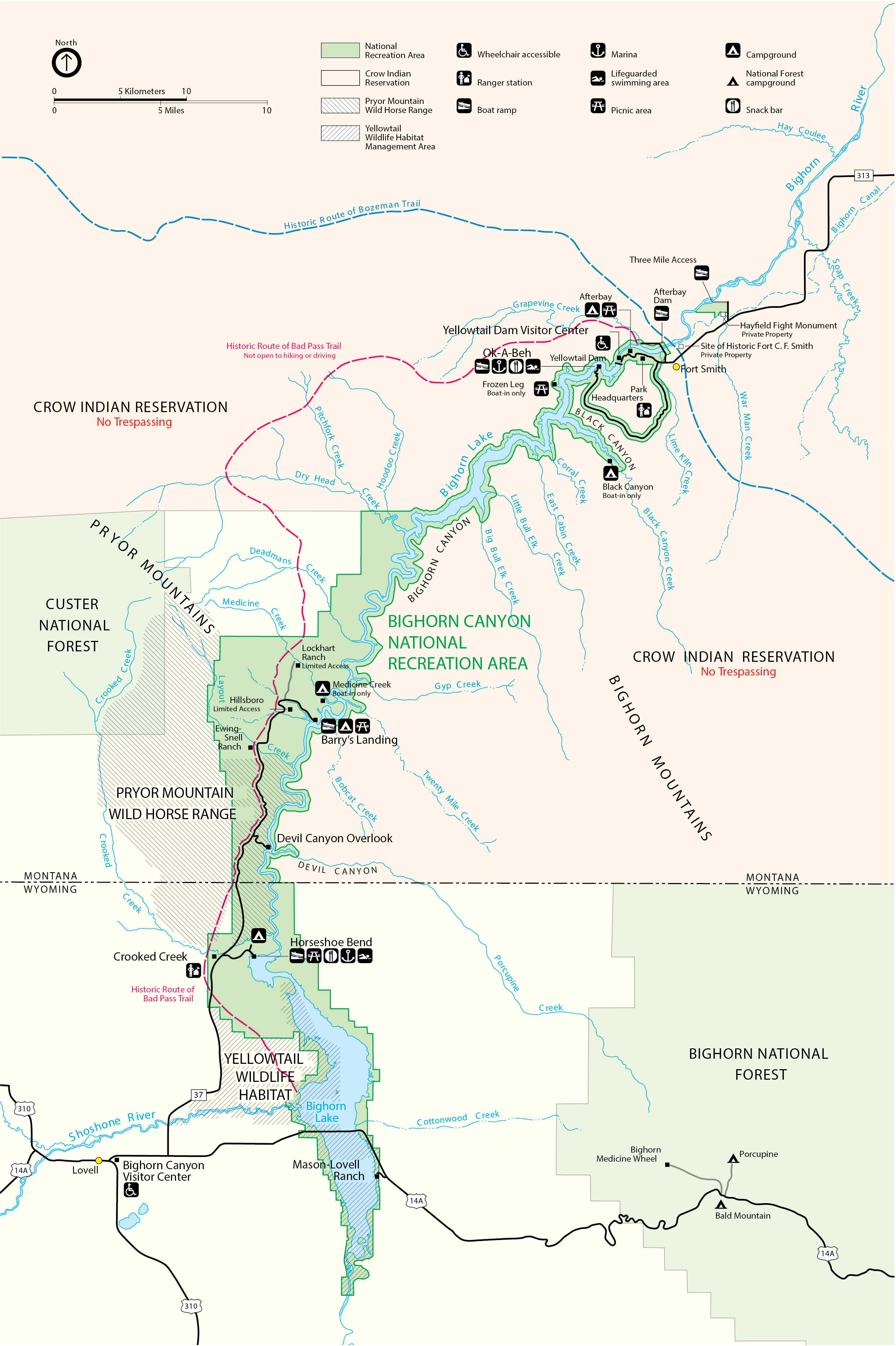
This park is separated into two districts which are not directly connected. Driving time between the districts is approximately three hours. Please note the great opportunities each district has to offer, plan your trip accordingly, and get directions. The North District in Fort Smith, MT is mostly water based recreation and includes: - Yellowtail Dam Visitor Center (Open Memorial Day to Labor Day) - Park Headquarters - Ok-A-Beh Marina (Open Memorial Day to Labor Day) - Afterbay Reservoir, Boat Launch, and Campgrounds - Three Mile River Access The South District in Lovell, WY is largely land based recreation and includes: - Cal Taggart Visitor Center (Open year round) - Horseshoe Bend Marina (Open Memorial Day to Labor Day) - Devil Canyon Overlook - Pryor Mountain Wild Horse Range - 12 hiking trails - Four historic ranches open to self tours - Horseshoe Bend, Barry's, and Trail Creek Campgrounds
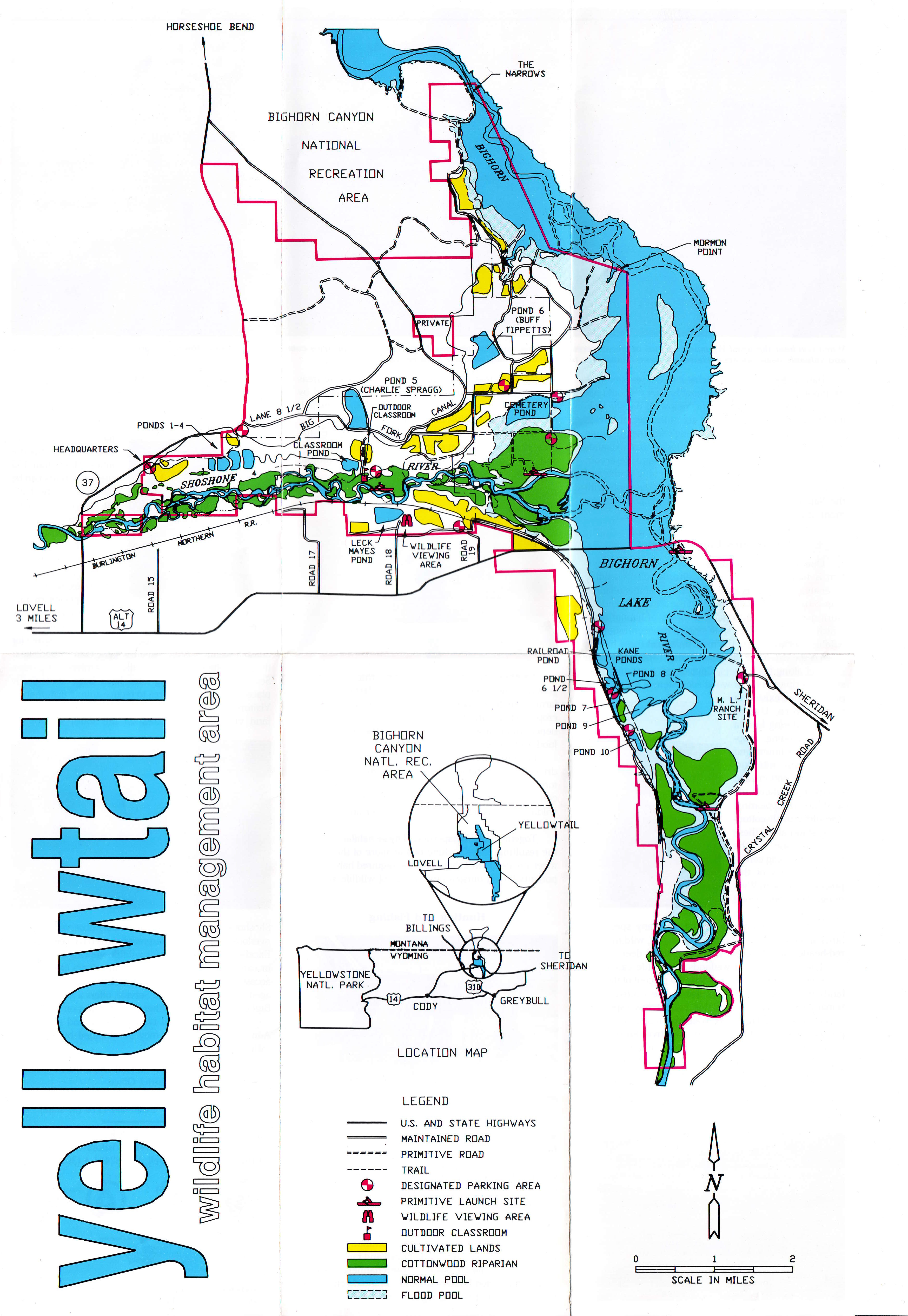
Below are links to map images related to the park:
|
Last updated: April 24, 2025