Last updated: October 2, 2024
Thing to Do
Marys Rock Summit
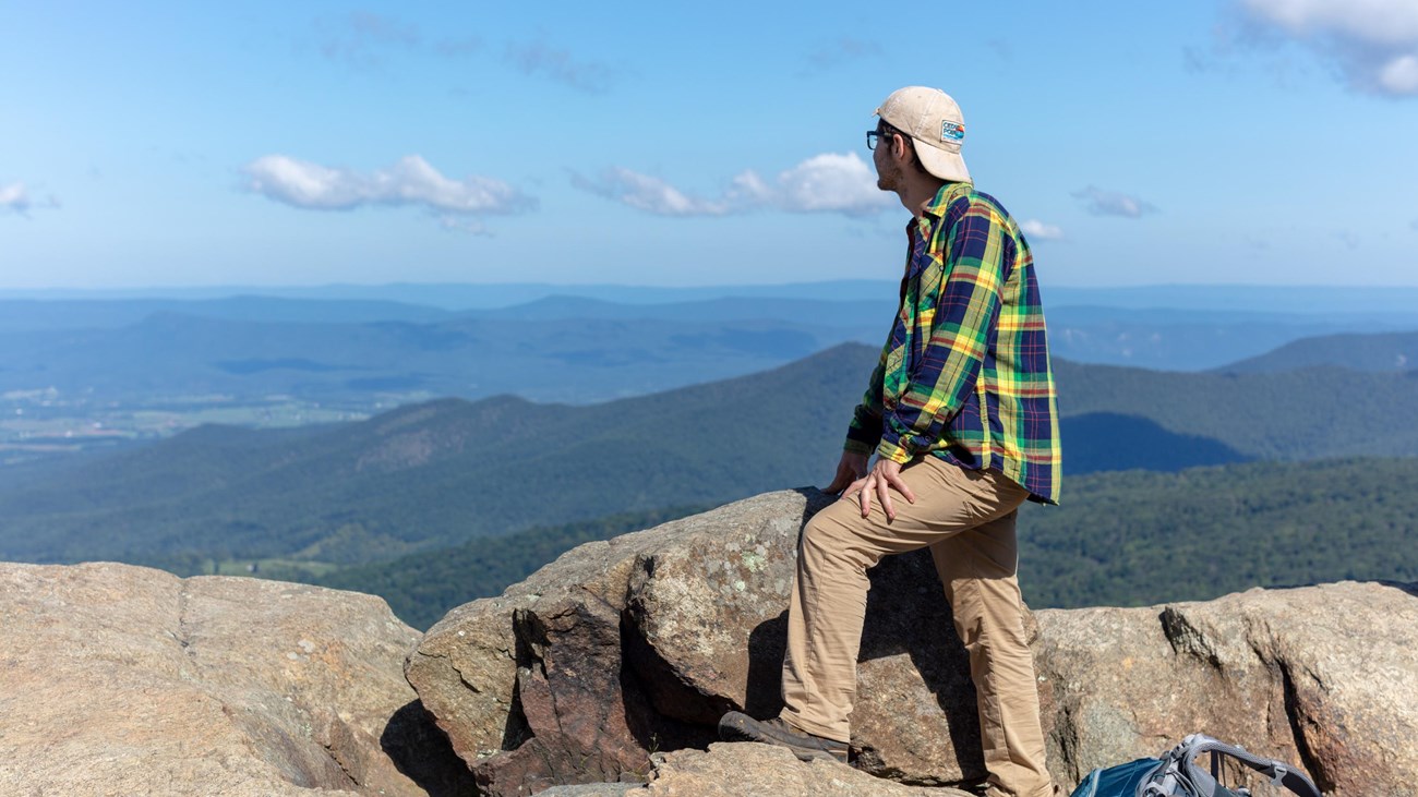
Many legends surround the name of this hike, but there is no denying the beautiful westward views that it provides of the Shenandoah Valley and Massanutten Mountain.
Note that very limited closures are in effect in an effort to prevent further degradation of important outcrop ecosystems on Marys Rock.
Distance: 3.7-mile round trip hike
Difficulty: Moderate (hiking difficulty scale)
Hiking Time: 3 hours 30 minutes
Elevation Gain: 1,210 feet
Hike Description
- From the trailhead located in the back of the Panorama parking area, take the short connector trail to the Appalachian Trail and go left (south).
- At the trailpost take a right to the viewpoint.
- Retrace your steps back to the parking area.
Details
Duration
3-4 Hours
The average hiking duration does not take into consideration fitness, exploration, rest, contemplation, etc.
Activity
Hiking
Pets Allowed
Yes with Restrictions
Pets must be on a leash no longer than 6 feet at all times.
Activity Fee
No
An entrance fee is required to get into Shenandoah National Park
Location
Central District (Mile 31.6)
The trailhead for this hike is located at the back of the Panorama parking area.
Reservations
No
Season
Year Round
Accessibility Information
This trail does not meet ADA accessibility guidelines.

Click the image to download the trail map. Print it out at home or save it to your phone to take with you on your hike.