Last updated: February 1, 2023
Thing to Do
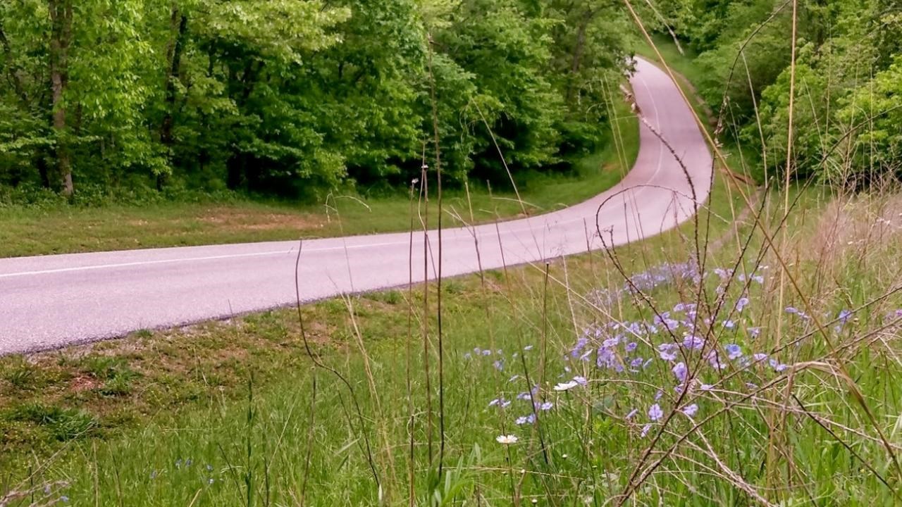
Moving on the Tour Road
NPS Photo
Improve Your Physical Wellness
Even the smallest of movements can have a great impact on your personal wellness. The National Park Service Wellness Challenge offers you an opportunity to move. We welcome you to get out, explore, start a new habit, or try something new to benefit your physical health.
Challenge 1: Move on the Tour Road
Choose a method of exploring the Wilson’s Creek National Battlefield Tour Road that works best for you. Walk, run, bike, or drive along 5-miles of paved road. Learn about the historic Ray House, Bloody Hill, and Wilson’s Creek while visiting eight interpretive stops along the way.
Learn more about the eight stops on the Tour Road.
Details
Duration
1-8 Hours
Depending on the time in your visit at the park will depend on the amount of time it will take.
Activity
Self-Guided Tours - Walking
Improve Your Physical Wellness
Even the smallest of movements can have a great impact on your personal wellness. The National Park Service Wellness Challenge offers you an opportunity to move. We welcome you to get out, explore, start a new habit, or try something new to benefit your physical health.
Age(s)
4-90
All ages welcome.
Pets Allowed
Yes
Pets are allowed anywhere outside in the park as long as the pet is on a leash no longer than 6 feet. Service animals are allowed inside buildings that are accesible to the public.
Activity Fee
No
Wilson's Creek National Battlefield does not charge an entrance fee.
Location
Battlefield self guided 5-mile tour road
Anywhere along the 5-mile tour road.
Reservations
No
Season
Spring
Summer months are frequently hot and humid, with occasional showers and thunderstorms. Winter months (especially January and February) are frequently cold, with occasional ice and light snow. Spring and fall months are generally pleasant, with occasional showers.
Time of Day
Day
Tour road, battlefield, and trails are open during posted hours (changes by season). Tour Road opens at 7:00 am for walkers and bicycles only. Vehicle entrance begins at 8:00 am which requires a gate token issued inside the visitor center. The visitor center and museum hours are 8:00 am to 5:00 pm daily, seven days a week.
Accessibility Information
Tour Road
-
The length is 4.9 miles with a 150 ft elevation change.
-
The one-way tour road is 18 feet wide. The left lane (12 feet wide) is for vehicles. The right lane is for pedestrians and bicycles.
-
At each of the 8 stops, there are parking areas with designated accessible parking spaces.
-
The waysides at Stop 1, Stop 3, Stop 4, and Stop 7 (Bloody Hill) are accessible
-
The trails off the Tour Road are natural surfaces.
-
The stops are not audio described at this time.
Contact:
-
Phone: 417-732-2662
-
Email: billie_aschwege@nps.gov
Trail Information
-
Gibson Mill: 1 mile and 40 ft elevation change
-
Ray Cornfield: 1 mile and 80 ft elevation change (horses allowed)
-
Ray House: <0.25 mile and 30 ft elevation change
-
Ray Springhouse: <0.25 mile and 30 ft elevation change
-
East Overlook: <0.25 mile and 60 ft elevation change
-
Pulaski Battery: <0.25 mile and 50 ft elevation change
-
Manley Uplands: 2.5 miles and 170 ft elevation change (horses allowed)
-
Southwest: 1.7 miles and 140 ft elevation change (horses allowed)
-
Wire Road: 1.7 miles and 150 ft elevation change (horses allowed)
-
Bloody Hill: 0.5 mile and 60 ft elevation change
-
Bloody Hill Spur: 0.5 mile and 100 ft elevation change
-
Du Bois’s Battery: 0.25 mile and <10 ft elevation change
-
West Overlook: 0.25 mile and <10 ft elevation change
Learn more about accessibility at Wilson’s Creek National Battlefield.