Last updated: November 4, 2021
Thing to Do
Hiking the Natchez Trace National Scenic Trail
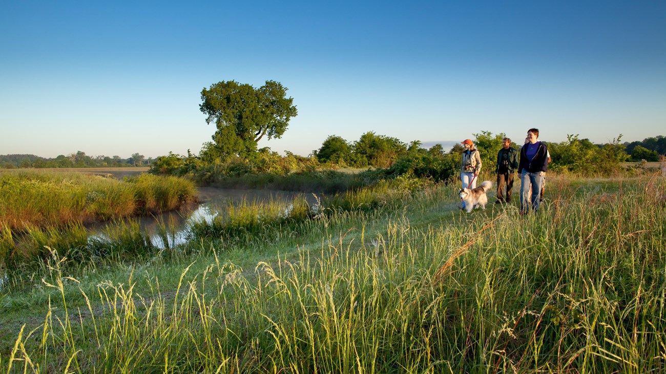
NPS Photo / Marc Muench
The Natchez Trace National Scenic Trail consists of five sections running roughly parallel to the Natchez Trace Parkway motor road. The five sections of hiking trail, total more than 60 miles in southern forests. The trails offer opportunities to explore wetlands, swamps, hardwood forest, rock outcroppings, overlooks, and the history of the area. Established in 1983, the trail is part of the National Park Service and the National Trails System. Scroll down for a listing of trail sections.
Be sure to check for closed sections of the trail at What's Open What's Closed
Be sure to check for closed sections of the trail at What's Open What's Closed
Details
Duration
5-14 Hours
You can hike as little or as long as you like. There are driving distances between the hiking trails, so calculate that into your time.
Activity
Front-Country Hiking
Today the Natchez Trace National Scenic Trail consists of five separate sections--over 60 miles--developed for hiking and horseback riding. Portions of scenic trail follow segments of the original Old Natchez Trace. Like the Natchez Trace Parkway, the scenic trail is best enjoyed at a leisurely pace. Take your time and you will be rewarded with the sights and sounds experienced by those who came long before you.
The five developed sections of the Natchez Trace National Scenic Trail are accessed from many points along the Natchez Trace Parkway. Specific information about each trailhead is below. When you are on the trail itself, look for markings of white blazes or brown and white signs.
The five developed sections of the Natchez Trace National Scenic Trail are accessed from many points along the Natchez Trace Parkway. Specific information about each trailhead is below. When you are on the trail itself, look for markings of white blazes or brown and white signs.
Age(s)
0-99
The trail is not smooth, but it does not have long steep grades.
Pets Allowed
Yes
Pets are allowed on leashes 6' or shorter. They can earn a BARK Ranger dog tag.
Activity Fee
No
Entrance fees may apply, see Fees & Passes information.
Location
Along the Natchez Trace Parkway
There are five section of the Natchez Trace National Scenic Trail acessed from the Natchez Trace Parkway.
From north to south:
The Highland Rim section of the Natchez Trace National Scenic Trail is a popular twenty mile hiking and equestrian corridor south of Nashville Tennessee along the Natchez Trace Parkway from Milepost 427.4 to 407.9.
The northern trailhead of the Blackland Prairie Section of Natchez Trace National Scenic Trail is located just across the Parkway from the Natchez Trace Parkway Visitor Center at milepost 266. Hikers can travel six miles along the outskirts of Tupelo (12 miles roundtrip).
The northern trailhead of the Yockanookany Section of the Natchez Trace National Scenic is at milepost 130.9 and travels 26 miles to the southern terminus at West Florida Boundary.
Follw the scenic trail markers to the northern trailhead of the Potkopinu section of the Natchez Trace National Scenic Trail. Vehicles may be parked parallel to the road. If you have an oversized vehicle this is the only place to park to access this trail. To reach this trailhead exit the Parkway at Milepost 20. Turn left (east) on Road #553 known as River Road. Turn right onto a dirt road and travel a short distance and parking is on the right.
Reservations
No
Season
Year Round
Weather can be a significant threat. Strong winds and rain often bring down trees. Stay alert of weather conditions.
Summers are hot and humid. Winters can be very cold.
Summers are hot and humid. Winters can be very cold.
Time of Day
Day, Dawn, Dusk
All hikers and riders should be off the trail by dusk.
Accessibility Information
These trails vary in size and terrain. There are freqent root obsticles and often downed trees. They are not paved. Most are only about 3 feet wide, but there are wider sections. There are slick bridges and sometimes streams to cross.
Tags:
natchez trace parkway