Last updated: February 11, 2025
Thing to Do
Hike the Woodlands Trail
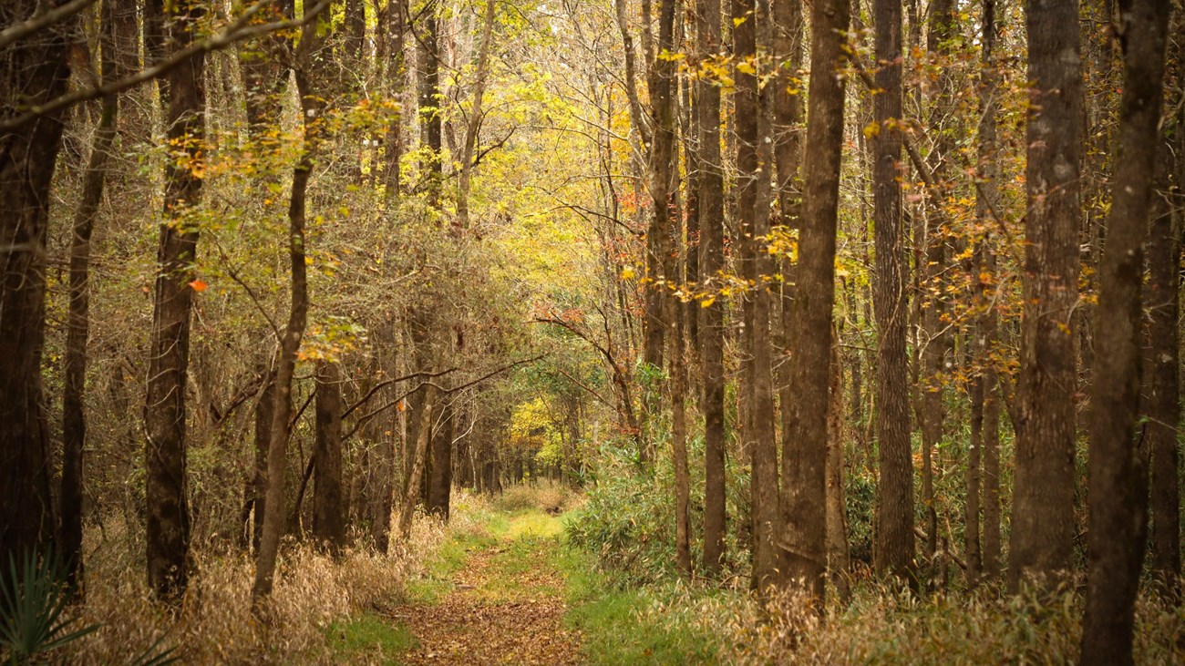
NPS Photo / Scott Sharaga
The Woodlands Trail is a pleasant loop hike through different kinds of forest scenery in the northwest corner of the Big Thicket. Short hills add a few ups and downs to this shaded hike.
- Distance: 5 miles roundtrip
- Type: Out-and-back and loop combination
- Location: Big Sandy Creek Unit
- Trailhead: Parking lot on FM 1276
- Lat/Long: 30.679593, -94.699424
Overview
The Woodlands Trail has loop options of 3, 4¼, and 5 miles roundtrip.
Start at the trailhead on Farm to Market Road (FM) 1276 and follow the trail signs past the information kiosk. Near Collins Pond, cross a pipeline right-of-way and continue into the forest.
Go over a few short bridges through a floodplain until you arrive at a bench marking the beginning of the loop section. The left fork climbs through a hilly pine forest while the right fork follows Big Sandy Creek. There are 2 cutoff trails in the middle of the loop that shorten the loop to 3 and 4¼ miles.
Some of the junctions have a bench with a map that indicates your current position. When you return to the beginning of the loop, follow the out-and-back section to return to the trailhead.
More Information
- Download a trail map
- Explore the Big Sandy Creek Unit
Details
Duration
2-4 Hours
Activity
Hiking
Pets Allowed
Yes
Pets must be on a 6-foot leash at all times. Please pick up your pet's poop!
Activity Fee
No
Free admission to Big Thicket National Preserve
Location
Big Sandy Creek Unit | Dallardsville, TX
The trailhead is 5 miles north of Dallardsville on FM 1276, just south of US 190.
Reservations
No
Season
Year Round
Time of Day
Day
Accessibility Information
Trail surfaces include hard-packed soil, leaves, and wooden bridges. This trail has some elevation gain and loss on the west side of the loop. There are several sections there where the trail is deeply rutted. Expect muddy conditions on the portion of trail along Big Sandy Creek if it has rained recently.