Last updated: August 17, 2023
Thing to Do
Hawksbill Summit
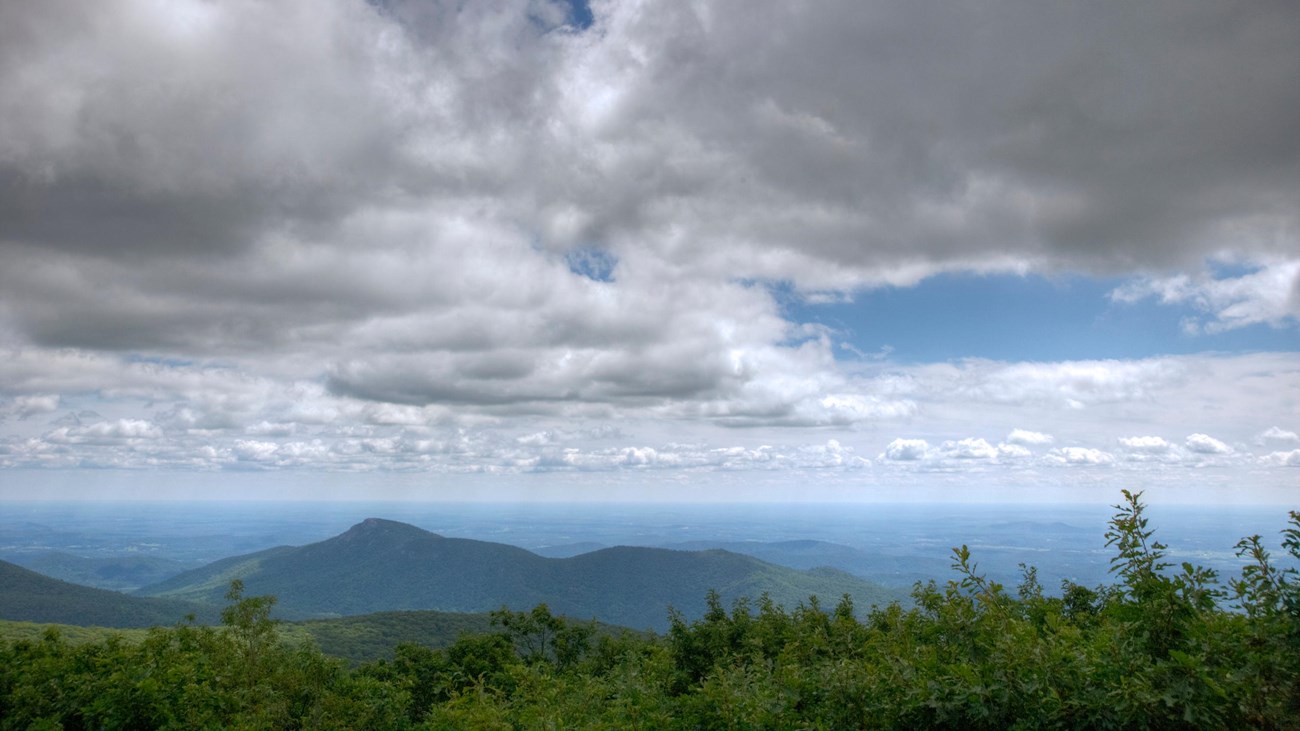
A shorter, yet steeper, route to Shenandoah’s highest peak. The viewing platform on top of Hawksbill offers a magnificent 360-degree panoramic view of the Shenandoah Valley, the Blue Ridge Mountains, and the Virginia Piedmont.
Note that very limited closures are in effect in an effort to prevent further degradation of important outcrop ecosystems on Hawksbill.
Distance: 1.7-mile round trip hike
Difficulty: Moderate (hiking difficulty scale)
Hiking Time: 1 hour 15 minutes
Elevation Gain: 690 feet
Hike Description
- From the Hawksbill Gap Parking Area (mile 45.5), take the Lower Hawksbill Trail to the Byrds Nest 2 Shelter
- Follow the trail to the viewing platform.
- Retrace your steps to return to your starting point.
Details
Duration
1-2 Hours
The average hike duration does not take into consideration fitness, exploration, rest, contemplation, etc.
Activity
Hiking
Pets Allowed
Yes with Restrictions
Pets must be on a leash no longer than 6 feet at all times.
Activity Fee
No
An entrance fee is required to get into Shenandoah National Park.
Location
Central District (Mile 45.5)
The trailhead for this hike is located at the Hawksbill Gap parking area.
Reservations
No
Season
Year Round
Accessibility Information
This trail does not meet ADA accessibility guidelines.

Download the trail map
Click the image to download the trail map. Print it out at home or save it to your phone to take with you on your hike.
Tags:
shenandoah national park,
hiking,