The cultural landscapes of the National Capital area range in size from urban triangle public reservation parks of less than 400 square feet to the 184.5 mile-long Chesapeake and Ohio (C&O) Canal National Historical Park, comprising over 14,000 acres across the District of Columbia, Maryland and West Virginia.
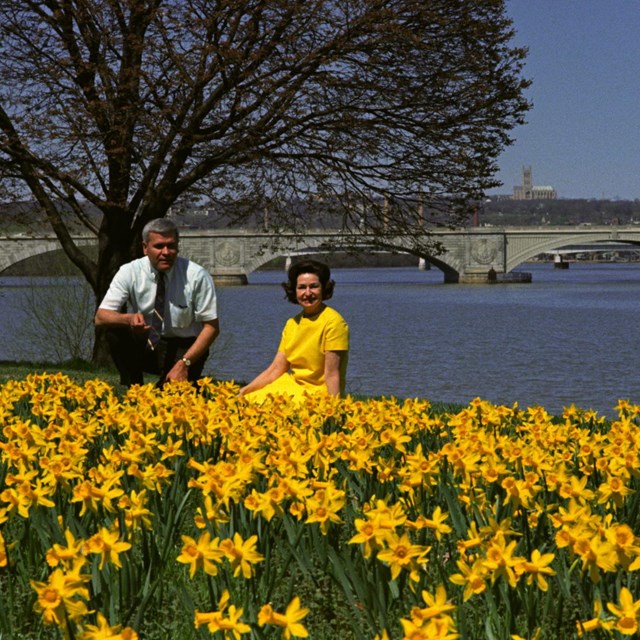
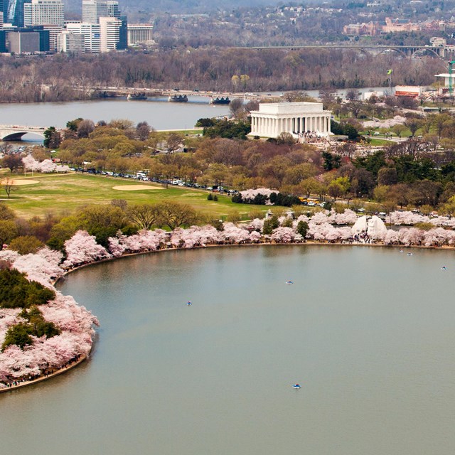
The region includes many of our nation's most widely recognized and treasured icons, as well as many lesser-known resources. This includes the formal, designed landscapes of the Washington Monument and the Lincoln Memorial and the serene natural landscape of Kenilworth Aquatic Gardens. Like the C&O Canal National Historical Park, Rock Creek Park and George Washington Memorial Parkway are linear parks that are important transportation corridors for the DC metro area, while also offering a green oasis and river access. The area's parks are among the most visited and visible parks in the national park system, serving more than 40 million visitors annually.
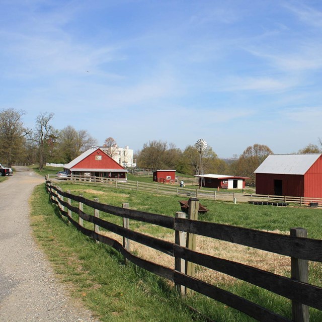
The National Capital area contains a wide breadth of cultural landscapes: both vernacular and designed, and rural and urban. As with many national parks, these landscapes are threatened by urban and suburban development and climate change. Roadways through many parks are reaching their capacity in order to serve commuters and visitors.
The expansion of these highways and the suburban growth of communities that surround our parks can diminish the open, contemplative character of the commemorative landscapes of Manassas, Antietam, and Monocacy battlefields. Climate change and inundation along rivers and streams pose an on-going threat to many National Capital area cultural landscapes. Properties within the Potomac River floodplain or along other tributary streams are some of the most vulnerable resources.
-
 Featured Articles
Stories about cultural landscapes of the National Capital Area's national parks
-
 Cultural Landscape Profiles
An overview of a few of the landscapes in the National Capital Area. More to come!
-
 Explore the Area
Plan your visit to parks in the National Capital Area
Last updated: June 16, 2021