|
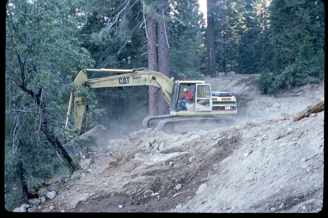
Landforms in Giant Forest had been altered by creating level pads for buildings and parking lots and by cutting into slopes to create a bench for roads. Road construction uses a "cut and fill" procedure where soil from the up-slope side of a road is cut, then pushed to the down-slope side as fill. To reestablish natural contours and drainage patterns, this road construction process was reversed: the fill material on the down-slope side of the road was excavated and placed against the cut slope. The original topsoil could usually be recognized at the bottom of the fill slope and was placed as the top layer of the finished surface. 
NPS photo Soil properties were restored to approximate those of surrounding, undisturbed soils. The most severely altered soil properties were compaction, alteration of aggregate structures, and loss of organic matter. To decompact soils and convert platy and blocky aggregate structures to natural crumb or granular structures, moist soils were cultivated to a depth of 5 to 8 inches with small, agricultural-type equipment . Cultivation was conducted outside the drip lines of mature trees and was halted or made shallower if major roots were encountered. To restore organic matter in the topsoil, highly decomposed forest bark humus was added during cultivation in some locations. Contractors conducted soil tests to determine application depth of humus necessary to raise organic matter content to 7 to 10 percent by weight. Because a major influx of carbon in organic matter can cause soil microorganisms to proliferate and sequester the soil’s limited nitrogen for their own use, nitrogen fertilizer was added during cultivation if soil tests indicated that this was necessary. 
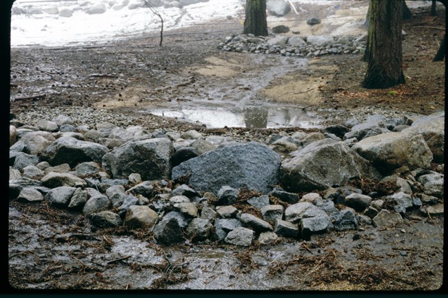
NPS photo - Athena Demetry Loosened soils were protected with wood chip mulch, soil retention blanket, or native litter and duff, which was salvaged prior to demolition if present or was collected from surrounding areas for restoration of linear features such as roads and trails. |
Last updated: October 3, 2023
