NPS
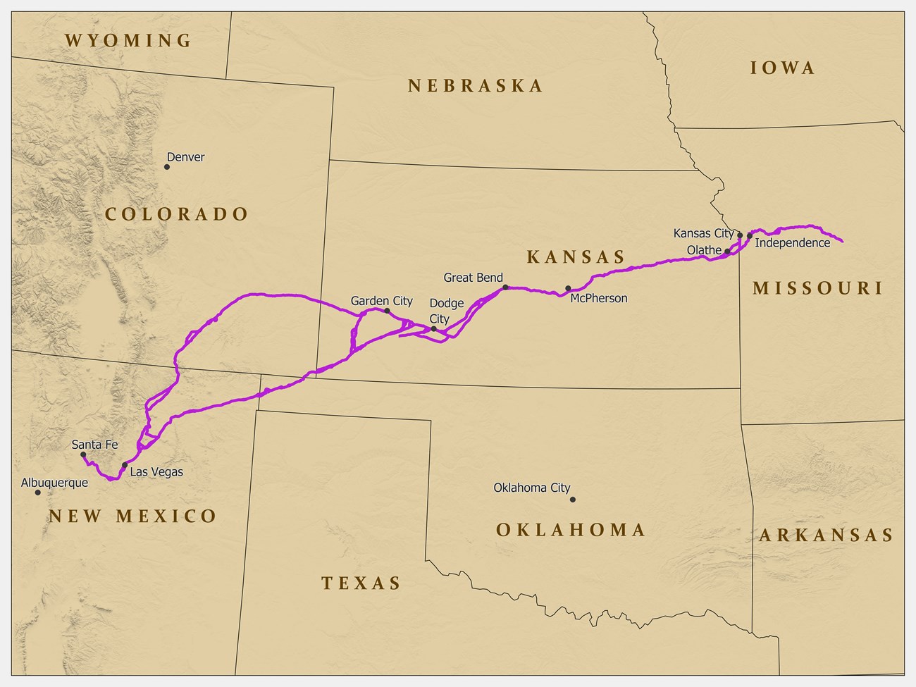
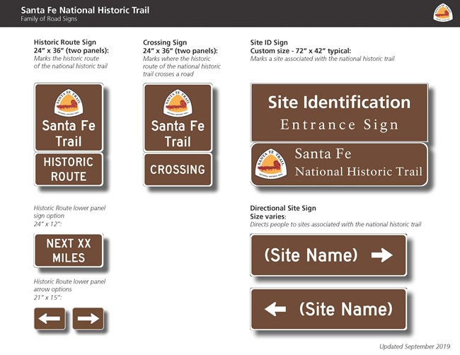
![]() NPS Getting To the Santa Fe National Historic Trail You can visit many sites of the Santa Fe National Historic Trail over the 900-mile historic route. Please use the Places to Go and Maps web pages to access site-specific information. Visit the Passport page to see where you can get your book stamped. Plane You can reach the trail by flying into a number of airports, including Kansas City, Jefferson City, and St. Louis, Missouri; Wichita, Topeka, Dodge City, Great Bend, and Garden City, Kansas; Albuquerque and Santa Fe, New Mexico; and Denver, Colorado Springs, and Pueblo, Colorado. Car You can reach most trail sites by auto or bicycle, or on foot. Some sites are along unpaved roads. Public Transportation Commercial bus service is available to many cities and towns along the trail. ![]() A family of road signs has been initiated across the Santa Fe Trail to help you find original routes, trail crossings, and local sites. Follow the signs exhibiting the distinctive Santa Fe Trail National Historic Trail logo. ![]() WeatherDue to the length of the Santa Fe National Historic Trail, be sure to consult local weather sources for the region you'll be visiting. Here is a link for the Central US. http://usatoday30.usatoday.com/weather/forecast/regional-central-temps.htm |
![]() |
![]() |
Last updated: July 27, 2018