An official website of the United States government
Here's how you know
Official websites use .gov A
.gov website belongs to an official government
organization in the United States.
Secure .gov websites use HTTPS A
lock (
) or https:// means you've safely connected to
the .gov website. Share sensitive information only on official,
secure websites.
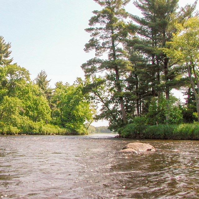
Fast moving water is a feature in most stretches of the St. Croix River between Gordon Dam and Highway 70.
NPS/Pope
The St. Croix River between Gordon Dam to Highway 70 features many easy rapids, quiet environs, and some of the best smallmouth bass fishing in the Midwest.
The slope of the land is greatest over this 65-mile stretch of the St. Croix making fast water. Series of rapids sometimes reach Class II and wide clear channels are usually obvious. Notible rapids include Scott Bridge Rapids, Big Fish Trap Rapids, and rapids at the Kettle River Confluence. Be sure to check river levels before your river trip. Portage around Coppermine Dam unless the river levels are high when you can shoot between piers of this logging era dam.
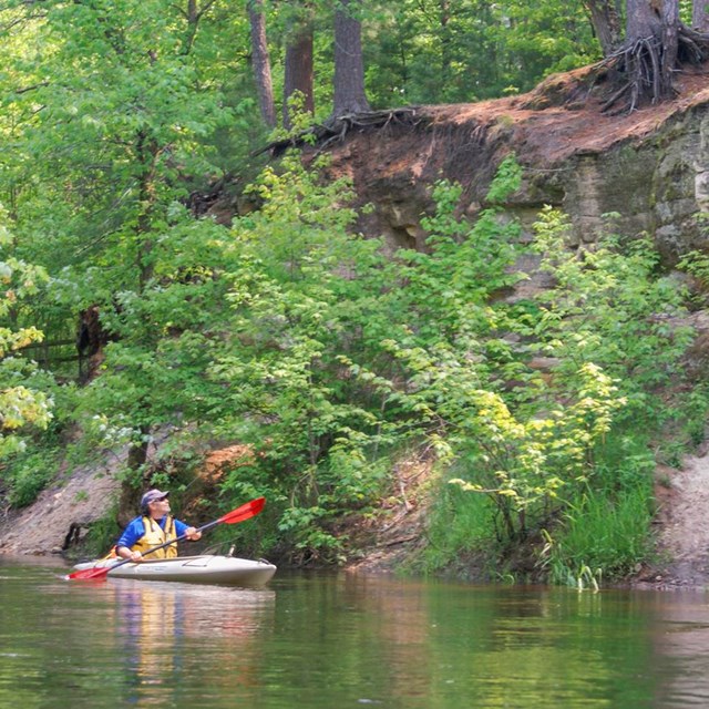
Hidden behind large islands, just south of Nelsons Landing, is a paddling option called the Kettle River Slough. Note that you will miss Fox Landing if you take this route and there is a small ledge as you come back into the main channel of the St. Croix. The entire stretch of Riverway between Nelsons Landing and Soderbeck Landing is bordered by public land and nature sounds prevail.
The Sandrock Cliffs Channel between Soderbeck Landing and Highway 70 Landing features a picturesque outcropping of sandstone with campsites at the top.