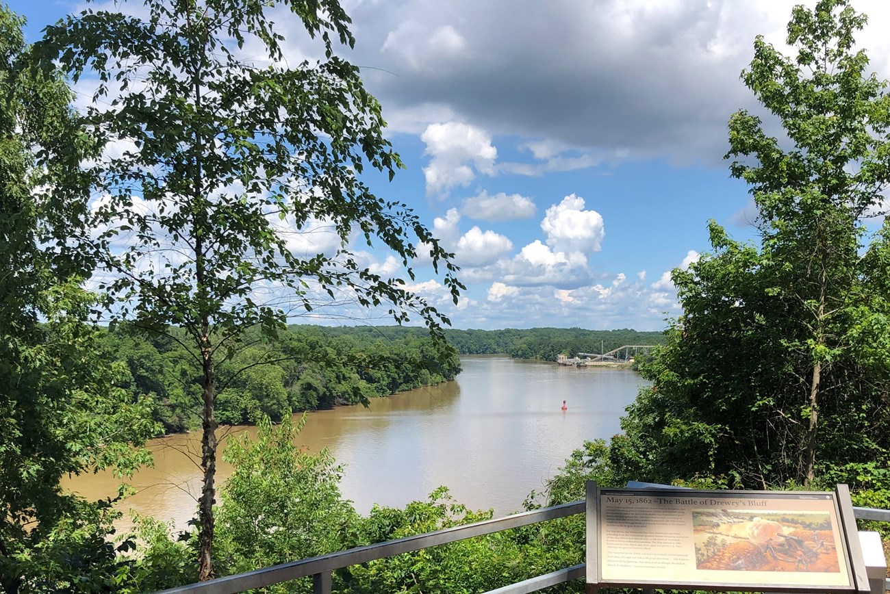
NPS Photo. The park's other units contain smaller streams that ultimately serve as tributaries to the James River. Beaverdam Creek, Boatswain Creek and Bloody Run - all located in the park's northernmost units - empty into the Chickahominy River, which in turn, empties into the James. Crewes Channel and Western Run in the Malvern Hill unit empty directly into the James. The sole exception is Totopotomoy Creek, which is part of the York River watershed. The park's streams create valuable wetlands, marshes, and ponds, which serve as excellent habitats for many species of fish and amphibians. These small headwater streams also have major impacts on downstream nutrient and sediment loads. Rivers and streams contribute to Richmond National Battlefield Park's diverse ecosystems and landscapes. To preserve these natural features, the park employs management tools like forested riparian buffers whenever possible to reduce land use impacts on the park streams. Buffer zones and regular water quality monitoring conducted by the Mid-Atlantic Inventory and Monitoring Network help to preserve valuable aquatic ecosystems, both within the park and downstream along the James River watershed. To learn more about how the Mid-Atlantic Inventory and Monitoring Network assess water quality in Coastal Plain and Piedmont parks, click here. |
Last updated: January 23, 2022
