Last updated: October 31, 2024
Place
Upland Trail

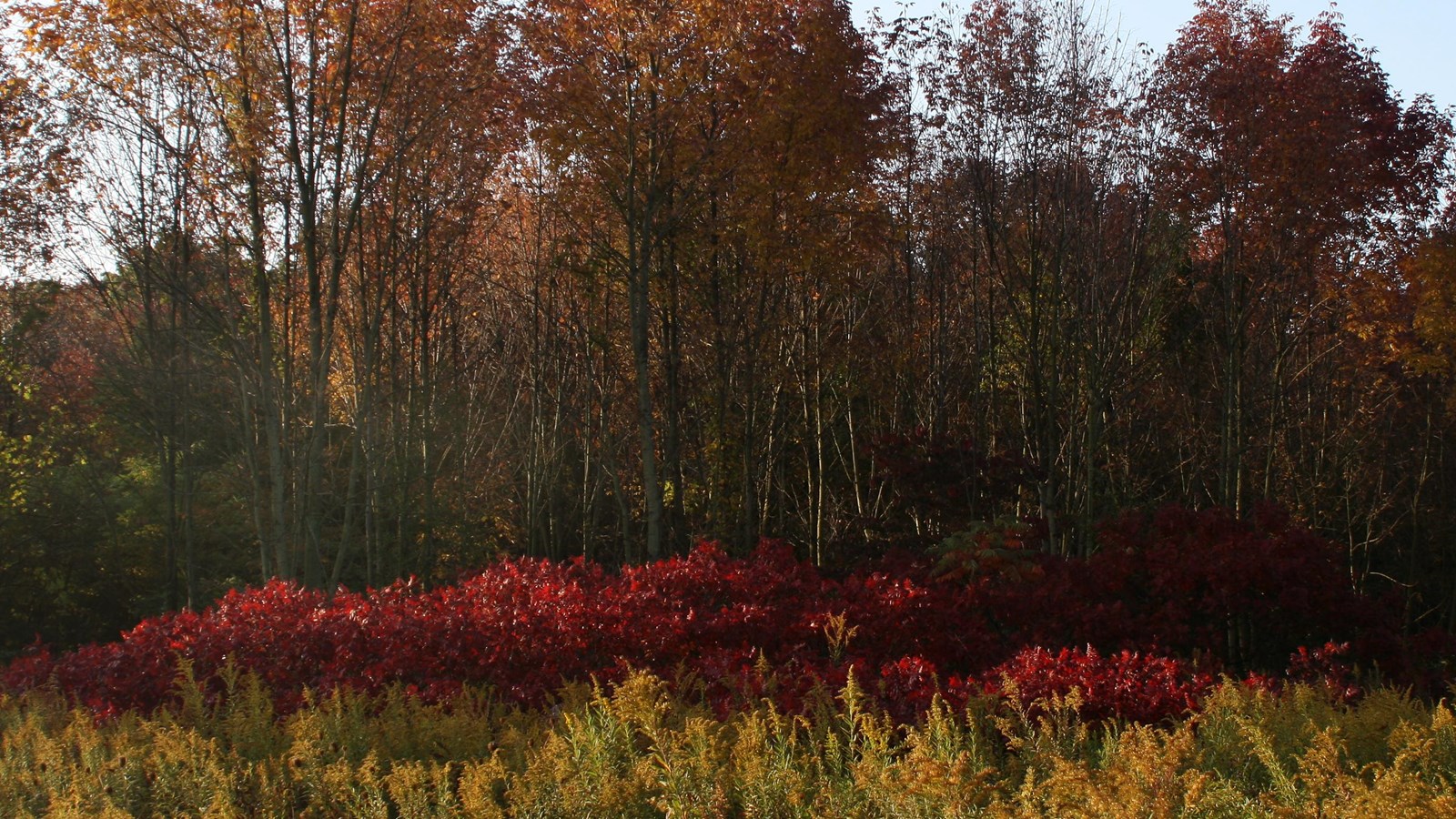
NPS Photo / K. George
Historical/Interpretive Information/Exhibits, Information Kiosk/Bulletin Board, Parking - Auto, Picnic Table, Restroom - Seasonal, Scenic View/Photo Spot, Trailhead, Trash/Litter Receptacles
Upland Trail
2.1 miles, 97 feet of elevation gain, 2% average grade, 4% maximum gradeHike time: 1.5 hours
The Pinhook Bog Trail System features two very different habitats. The Upland Trail highlights a rich beech and maple forest growing on top of a glacial moraine formed about 15,000 years ago. The Bog Trail leads to a bog in a depression in the moraine created when a large piece of ice broke off the melting glacier. The bog features an incredible habitat with unique plants.
This featured hike is a lollipop shaped trail. Starting at the parking lot trailhead, take the trail east to the junction with the loop trail. The preferred direction is clockwise or to the left. The trail winds through mature beech and maple forest as you hike over the undulating moraine topology. There is a nice view of the bog near the south end of the loop. Upon returning to the loop junction, turn left and follow the trail back to the parking lot.
Trail Features: Bog, Unique Plants, Wildflowers, Wildlife
Must See Gems: Pinhook Bog
History and Background
Bogs like Pinhook are relics of our glacial past. Trapped in the pulverized clay and rock left behind by a melting glacier, the bog began as a kettle lake. Cut off from ground water, Pinhook's water gradually became acidic. Sphagnum moss, tolerant of acidic waters, formed floating mats that eventually supported carnivorous plants like pitcher plants and sundew, orchids like pink lady's slipper and ferns. Over time, blueberry and holly shrubs colonized this unique acidic bog, eventually giving way to larger trees like tamarack and red maple. Pinhook Bog is on the National Natural Landmark list.
Getting There
Trailhead Parking Lot943 N. Wozniak Road, La Porte, IN 46350
Trailhead GPS Coordinates
41.621214, -86.850227 (Decimal Degrees)
Need to Know
Hours & Information
- Hours – The Upland Trail and parking lot are open daily from 6:00 am to 11:00 pm. The Bog Trail has Restricted Access. The bog is only open during ranger-led open houses on summer weekends. Program dates and times can be obtained by calling the Indiana Dunes Visitor Center at (219) 395-1882. Information can also be found on the park's website calendar and Facebook page.
- Hike Length – Upland Trail: 2.1 miles. Bog Trail: 0.9 miles.
- Hike Time – Upland Trail: 1.5 hours. Bog Trail: 1 hour.
- Difficulty – Easy to moderate with some elevation change.
- Trail Surface – Upland Trail: Packed dirt. Trail can be very wet and muddy. Bog Trail: Packed dirt with a section of floating boardwalk that submerges when walked on. Wear waterproof boots.
- Facilities – Seasonal porta potty. No potable water.
- Pets – Upland Trail: Permitted on a leash (6’ or shorter). Bog Trail: Prohibited for habitat protection.
- Prohibited – Bicycles and motorized vehicles.
- Prohibited – Littering, hunting, and removing plants.
- Hiking off the boardwalk on the Bog Trail is strictly prohibited.
- There are two picnic tables at the parking lot.
- The parking lot is paved.
- Please stay on the trail and respect closed area signs. Going off trail damages fragile habitat.
- Wear adequate footwear. The Upland Trail can be very wet and muddy. The Bog Trail has a floating boardwalk that submerges when walked on. Wear waterproof boots.
- Ticks are present year-round. Take precautionary measures to prevent bites.
- Poison ivy can be present on the edges of the trail.
- Be prepared for changing weather conditions.
- In case of an emergency or to report a crime, call 1-800-PARK-TIP.
- Trails and picnic tables are not wheelchair accessible.
Trail Map
View a detailed map of the Upland and Pinhook Bog trails.
All hiking trail maps of the Indiana Dunes National Park are available online on our website or in paper at the trailhead kiosk or the Indiana Dunes Visitor Center.
Nearby Hikes
Heron RookeryGreat Marsh
Glenwood Dunes
