



Last updated: September 24, 2026
Place
Thirty-two Mile Station
NPS Photo
Quick Facts
Location:
About 5 miles southwest of Hastings, Nebraska. Marker is on the east side of S. Osage Avenue about 280 yards south of W. Oak Ridge Rd. The historic site is nearby on private, cultivated land. GPS 40.5221666667 -98.4803611111
Significance:
Thirty-two Mile Station, also called Thirty-two Mile Creek Station and Clarke’s Station, was a Pony Express and stage station.
Designation:
Historic site on the Pony Express and Oregon National Historic Trails.
OPEN TO PUBLIC:
No
Amenities
1 listed
Historical/Interpretive Information/Exhibits
Thirty-two Mile Station, named for its location 32 miles southeast of Fort Kearny, Nebraska, was a long, low, log building that served as a waystation and Pony Express home station in 1860-1861. Established, furnished, and owned by Russell, Majors & Waddell, parent company to the Pony Express, it also functioned as a dinner stop for stagecoach travelers. British adventurer Sir Richard Burton, traveling by stage in August 1860, griped about the “eternal eggs and bacon” he had been served earlier at Liberty Station, but he offered Thirty-two Mile Station an unusually glowing review.
“The station-master,” he reported, “was the head of a neathanded and thrifty family from Vermont; the rooms, such as they were looked cosy and clean, and the chicken and peaches were plump and well ‘fixed.’” After the Pony Express shut down in November 1861, the station continued to serve travelers as a dinner stop.
Station manager George Comstock fled with his family during the Indian raids of August 1864, and warriors later burned it to the ground.
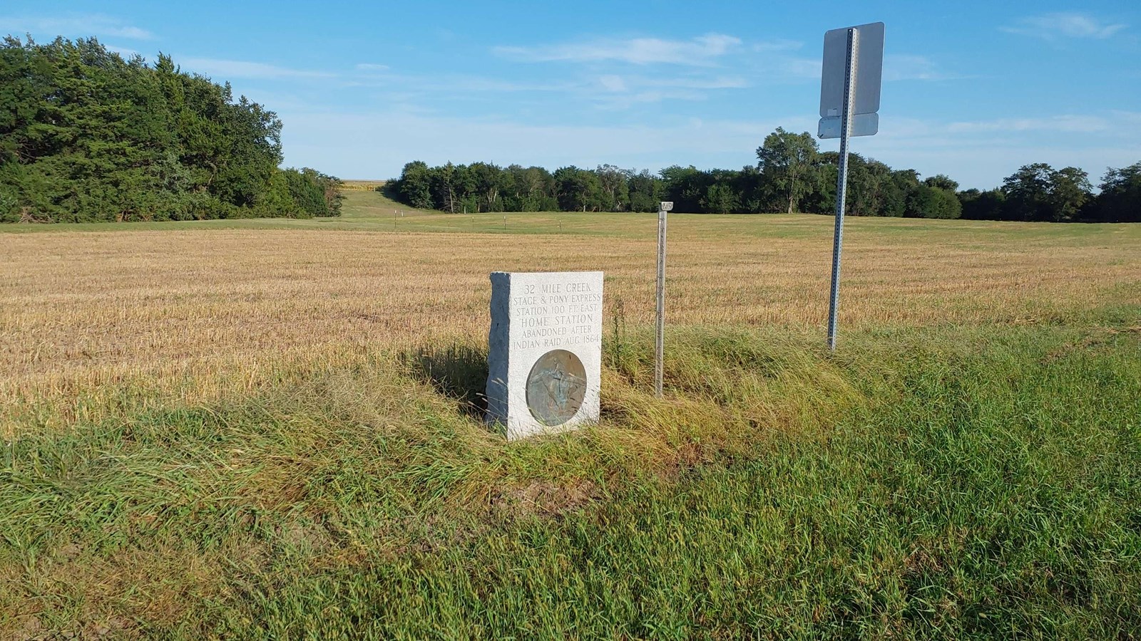
Today, visitors will find an upright, rectangular granite monument and a silver station marker-post standing at the edge of a cultivated field. The station site lay nearby on private land, which is not open to the public.
Site Information
Location (About 5 miles southwest of Hastings, Nebraska. Marker is on the east side of S. Osage Avenue about 280 yards south of W. Oak Ridge Rd. The historic site is nearby on private, cultivated land. GPS 40.5221666667 -98.4803611111)