Last updated: November 28, 2023
Place
Salt Works, Oregon
NPS
Quick Facts
Location:
Seaside, Oregon
Significance:
Near a Clatsop-Nehalem village, members of the Lewis and Clark Expedition boiled ocean water to make salt here during the winter of 1805–1806.
Designation:
Lewis and Clark National Historic Trail, Lewis and Clark National Historical Park.
MANAGED BY:
Amenities
1 listed
Historical/Interpretive Information/Exhibits
Meriwether Lewis and William Clark’s party ran out of salt on their journey west.
Salt was crucial in preserving meat for the lean winter months. Plus, it made food taste better. Clark said he didn’t mind going without salt, but Lewis found unsalted food bland.
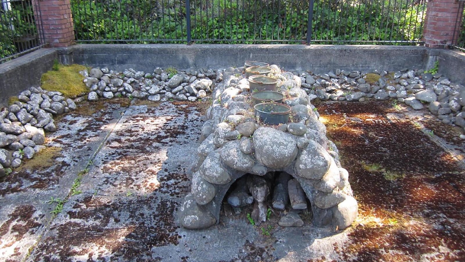
They decided to spend the winter near the Pacific Ocean so that they could make salt by boiling ocean water.
Privates Joseph Field, William Bratton, and George Gibson led the salt-making initiative. They chose a spot on the coast, near a Clatsop-Nehalem village (in present-day Seaside, Oregon). It was only a few days journey to walk from Fort Clatsop to the salt works.
Field, Bratton, and Gibson befriended the people in the Clatsop-Nehalem village, who “had been verry kind and attentive to them.” Some may have even allowed Field, Bratton, and Gibson to stay in their wooden houses, which would have been better shelter from the wet winds than canvas tents. The people of the village also helped feed the salt makers, selling them whale blubber to eat.
They probably played games, such as one that many people in the area played that involved holding a small item in your hand while others guessed which hand it was in. Maybe they taught each other songs, even if they couldn’t understand each other’s languages.
By the end of the winter, they had made some twenty gallons of salt (by Lewis’s count), plenty to sustain them during the journey home.
About this article: This article is part of a series called “Pivotal Places: Stories from the Lewis and Clark National Historic Trail.”
Lewis and Clark NHT Visitor Centers and Museums
Visitor Centers (shown in orange), High Potential Historic Sites (shown in black), and Pivotal Places (shown in green) along the Lewis and Clark National Historic Trail