



Last updated: July 9, 2026
Place
Saleratus Lake
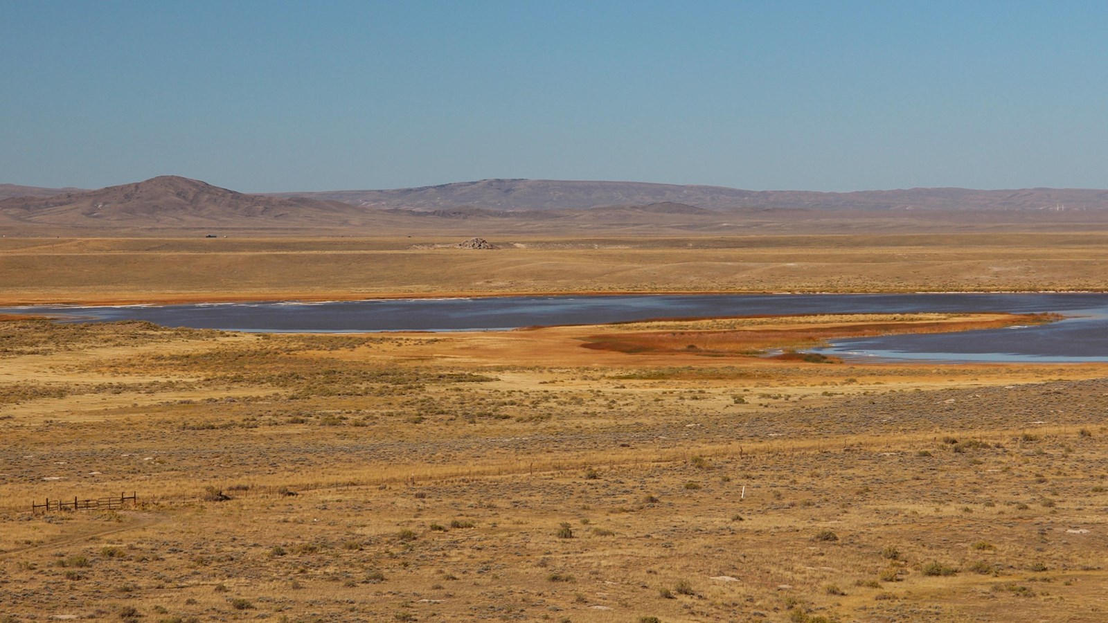
Photo/L. Kreutzer
Quick Facts
Location:
The Playa (Saleratus) Lake is within a wildlife refuge 1 mile northeast of Independence Rock State Historic Site, WY, but access is restricted to protect birds and habitat. (GPS 42.505569 -107.110587) However, bout 5 miles northwest of Independence Rock is Steamboat Lake, another saleratus lake known to emigrants. To reach the interpretive site there, drive 5 miles northeast of Independence Rock State Historic Site on WY-220, or for westbound travelers, it is 4 miles west of the highway’s intersection with County Road 319. (GPS 42.549511 -107.081162)
Significance:
Emigrants collected potassium bicarbonate or sodium bicarbonate—baking soda, or saleratus—from the playa lakebeds in this area and used it for leavening in their baking. Many emigrant journals mention collecting saleratus here.
Designation:
Historic site on the Mormon Pioneer, California, and Oregon NHTs.
OPEN TO PUBLIC:
No
Amenities
4 listed
Historical/Interpretive Information/Exhibits, Parking - Auto, Restroom, Wheelchair Accessible
Emigrants began to encounter alkali lakes, or playas, as they moved west beyond Greasewood/Horse Creek toward the Sweetwater River. These shallow pools of smelly, undrinkable water form on the desert floor after rainstorms. As the water evaporates under the hot Wyoming sun, “saleratus” precipitates on the lakebeds in white layers, looking like broken sheets of ice. Saleratus (sal-er-AH-tus) is an old name for potassium or sodium bicarbonate: baking soda. Wyoming boasts the world’s largest deposit of saleratus (also called natrona), used today in manufacturing soap, glass, paper, and other products. Overlanders scooped it up to use as a leavening agent in baking. Saleratus sold then in American stores was costly—but here were vast fields of “wild” baking soda, free for the taking!
Brigham Young’s 1847 vanguard members were among the first emigrants to sample this natural bounty. Young’s brother Lorenzo took up a pail of the stuff for his wife, Harriet, to test in making bread. Camp scribe William Clayton recorded that, “when baked [it] was pronounced to raise the bread and taste equal to the best she had ever used.” Others rode back, a round trip of 9 miles from camp, to fill their own pails.
Saleratus could impart a green cast and a chemical flavor to the bread. Most either couldn’t taste it or didn’t mind, but others could and did. William Kelly, who passed through in 1849, recalled that the soda “looked so beautifully pure, and tasted so well, we threw out all our chemical compounds, and supplied ourselves liberally with superior saleratus from this great natural laboratory, which we found made better bread than what we were in the habit of using.” Jesse Quinn Thornton, traveling in 1846, thought otherwise: “Most persons liked the bread so made,” he wrote. “I did not.” The playa water itself was considered poisonous. Forty-niner Oliver Goldsmith recalled 47 years later, “A great many cattle died from drinking [alkaline water]—there being no other in this section of the country—it seemed to eat the lining of their stomachs, they would lie down and soon commence bleeding at the nose, in which stage there was no hope for them.” Many emigrant journals remarked on the dead and dying livestock along the trail.
Saleratus Lake and the old wagon ruts, now within the Pathfinder National Wildlife Area, are not accessible to the public but can be viewed from the top of Independence Rock.
Site Information
Location (The Playa (Saleratus) Lake is within a wildlife refuge 1 mile northeast of Independence Rock State Historic Site, WY, but access is restricted to protect birds and habitat. (GPS 42.505569 -107.110587) However, bout 5 miles northwest of Independence Rock is Steamboat Lake, another saleratus lake known to emigrants. To reach the interpretive site there, drive 5 miles northeast of Independence Rock State Historic Site on WY-220, or for westbound travelers, it is 4 miles west of the highway’s intersection with County Road 319. (GPS 42.549511 -107.081162))