Last updated: July 20, 2021
Place
Overall Run Falls Trailhead
Quick Facts
Location:
Mathews Arm Campground Registration Parking Area (mile 22.1)
Amenities
1 listed
Trailhead
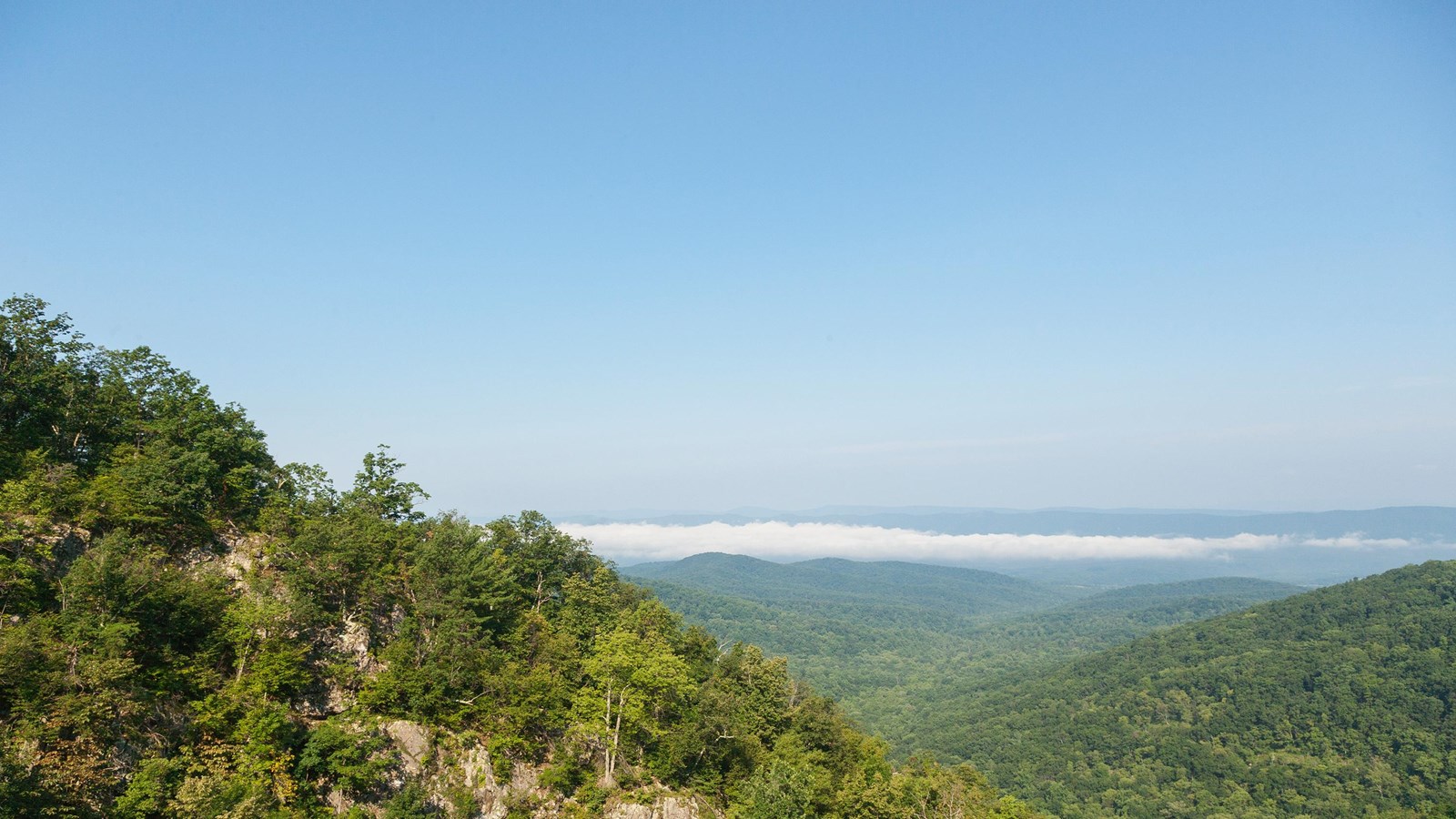
A hike through federally designated Wilderness to a view of the highest waterfall in the Park at 93 feet. Unless rain is plentiful, Overall Run Falls may have minimal to no water flow. Pets must be on a physical leash no longer than 6 feet long at all times.
Note that very limited closures are in effect in an effort to prevent further degradation of important outcrop ecosystems on Overall Run.
Distance: 5.1-mile round trip hike
Difficulty: Moderately Strenuous (explanation of our hiking difficulty scale)
Hiking Time: 4 hours
Elevation Gain: 1,291 feet
Hike Description
- From the trailhead at the Mathews Arm Campground Registration Parking Area (mile 22.1), take Traces Trail to the yellow-blazed Mathews Arm Road.
- The road becomes Mathews Arm Trail.
- Stay on the right at its intersection with Beecher Ridge Trail and continue on Mathews Arm Trail following it to the intersection with Tuscarora-Overall Run Trail.
- Go left and follow it about a tenth of a mile to a side trail. From here you can see the upper falls.
- Continue downhill on the main trail another 1,300 feet for views of the biggest falls in Shenandoah at 93 feet.
- Retrace your steps back to your starting point.
NOTE: If the campground is closed, you can park at mile 21 and take the Appalachian Trail to the Tuscarora-Overall Run Trail. This route adds another mile to your hike. If you are already in the campground, you can take the yellow-blazed Mathews Arm Road from the B-loop.