Last updated: June 4, 2026
Place
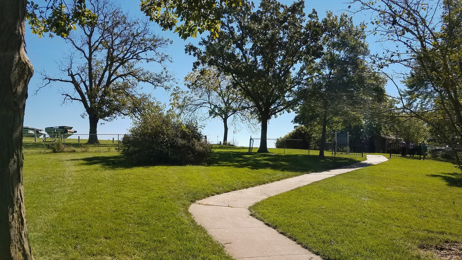
Mount Pisgah Historic Site
NPS Photo
Quick Facts
Location:
1750 Mt. Pisgah Rd., Thayer, Iowa.
Significance:
The 1846 vanguard company of Latter-day Saints established Mount Pisgah, like Garden Grove, as a temporary village or waystation to provide relief for needy emigrants. At least 80 of emigrants died here from starvation, illness, and exposure the first year at this site.
Designation:
Historic site on the Mormon Pioneer NHT; Certified Site.
Amenities
1 listed
Historical/Interpretive Information/Exhibits
While crews labored at Garden Grove, Parley Pratt’s company of 50 scouted ahead to locate and open a second farming settlement. When Pratt came upon this beautiful spot, a mosaic of grassy prairie and open woodland, rich with wildlife, he cried out, “This is Mount Pisgah!” (According to the Old Testament of the Bible, Mount Pisgah was the summit from which Moses viewed the Promised Land.) On May 18, Brigham Young’s lead companies reached Pratt’s location, about 32 miles from Garden Grove. Here they camped for 13 days to build cabins and plow, plant, and fence thousands of acres of prairie—as usual, laboring in the rain. Hosea Stout wrote,
“[T]he main settlement was situated on a long ridge running North & South. To the west was a large deep valley or bottom land of good prairie and was now being plowed & planted while all the adjoining glades and groves were teeming with men & cattle engaged in the busy hum of improving and planting. The whole woods & prairie seemed alive to business & a continual streem of emigration pouring in which looked like the entire country would be inhabited as a city in a short time.”
Joining the “streem” were 18 wagons that had departed Nauvoo in late April, after the grass grew high enough to sustain the draft animals. This wagon train was able to take a more direct route across the prairie and, in just 3 weeks, catch up with the suffering vanguard company that had been on the road for 3 months. The Camp of Israel departed Mount Pisgah in groups on June 1-2, leaving behind at least 200 emigrants at the settlement. Meanwhile, Young sent wagons back to Nauvoo to help evacuate some of the stranded faithful. As those emigrants arrived over the summer, the settlement’s population grew to about 700 people. But despite the beauty of the location and the improvements made, Mount Pisgah became a place of sorrow: at least 80 Latter-day Saints died there the first year. “The latter part of July and August witnessed a general and almost universal scene of sickness throughout Pisgah,” wrote Lorenzo Snow, who overwintered there. “Well persons [could] not be found to take care of the sick; it was indeed a distressing scene. A great number of deaths occurred and it was often very difficult to get their bodies decently interred.” By around 1850, the population of Mount Pisgah peaked at approximately 3,000. In 1851, the Latter-day Saints began evacuating Mount Pisgah when church leaders summoned them to Zion (Salt Lake City, Utah).
The settlement was abandoned by 1852. Today little remains but a small cemetery with some 150 unmarked graves, a marble monument commemorating those who died there, and a 9-acre park and picnic area. Much of the original settlement lies on adjacent private property, where landowners have long cared for the heritage site. Wagon swales are still evident there, and cattle, for some reason, graze the lush grass into rows of tidy rectangles where cabins once stood.
Site Information
Location (1750 Mt. Pisgah Rd., Thayer, Iowa.)
Available Facilities
Currently, Mt. Pisgah contains three sections:
- Church of Jesus Christ of Latter-Day Saints monument and cemetery: open to the public.
- Mt. Pisgah County Park: restrooms, parking, and a picnic area; open to the public.
- The majority of the site is a private ranch whose owner gives frequent tours.