Last updated: November 30, 2021
Place
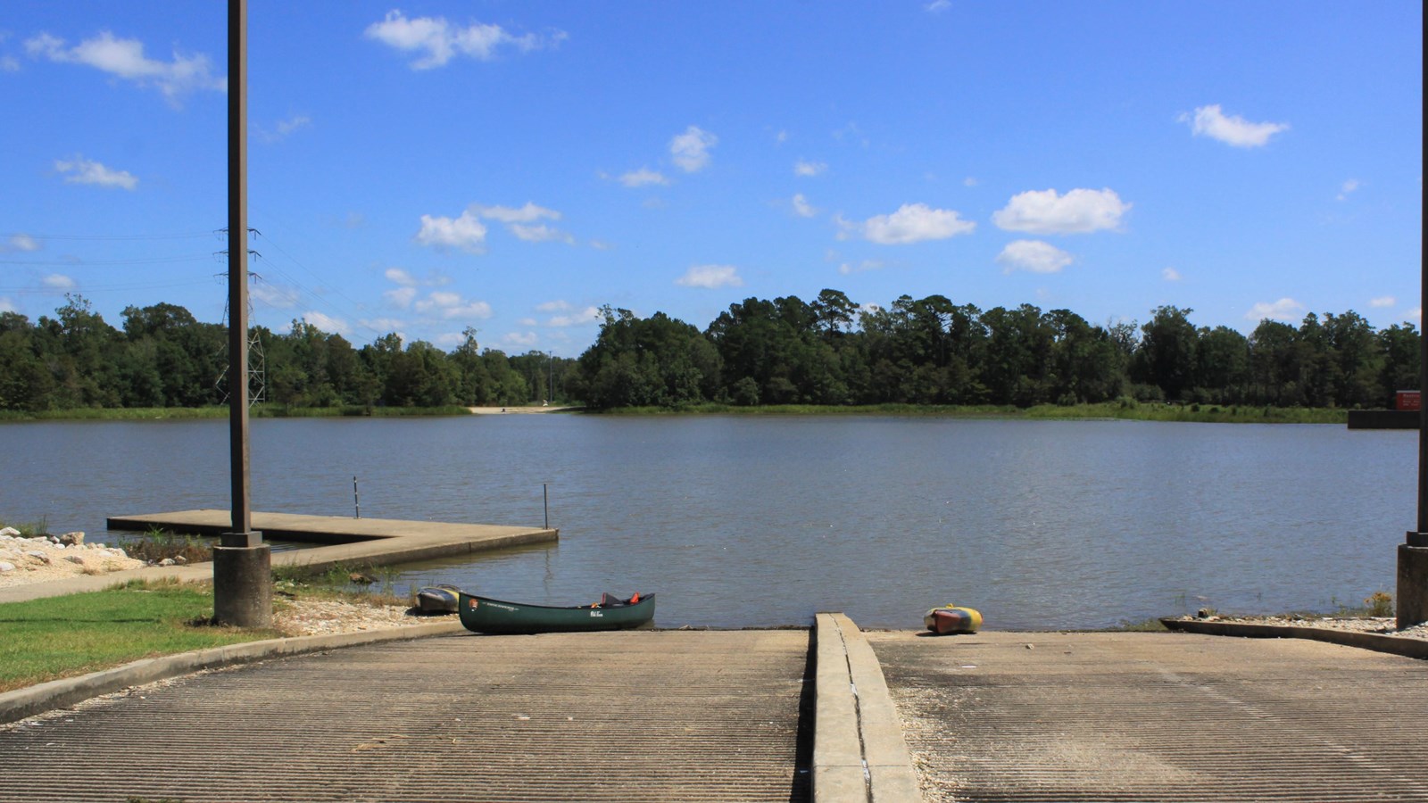
LNVA Saltwater Barrier Boat Ramp
NPS Photo / Soren George-Nichol
Quick Facts
Location:
Beaumont, TX
MANAGED BY:
Lower Neches Valley Authority
Amenities
12 listed
Benches/Seating, Boat Ramp, Canoe/Kayak/Small Boat Launch, Dock/Pier, Information Kiosk/Bulletin Board, Parking - Auto, Parking - Boat Trailer, Parking - Bus/RV, Picnic Table, Restroom, Toilet - Flush, Trash/Litter Receptacles
Launch your boat here to explore the Neches River and Pine Island Bayou. The 4.8-mile Cooks Lake to Scatterman Paddling Trail begins here.
The saltwater barrier, managed by the Lower Neches Valley Authority, was constructed to keep saltwater from the Gulf of Mexico from mixing with the freshwater from the Neches River.
Getting Here
GPS Coordinates: 30.155200, -94.116000
From US 69/96/287 in Beaumont, head east on Lucas Street, then turn left onto Bigner Road. The boat ramp is at the end of Bigner Road, just past the saltwater barrier.
More Information
- Located next to the Beaumont Unit of Big Thicket National Preserve
- Paddling the Big Thicket