Last updated: July 20, 2021
Place
Marys Rock Summit Trailhead
Quick Facts
Location:
Panorama Parking Area (mile 31.5)
Amenities
1 listed
Trailhead
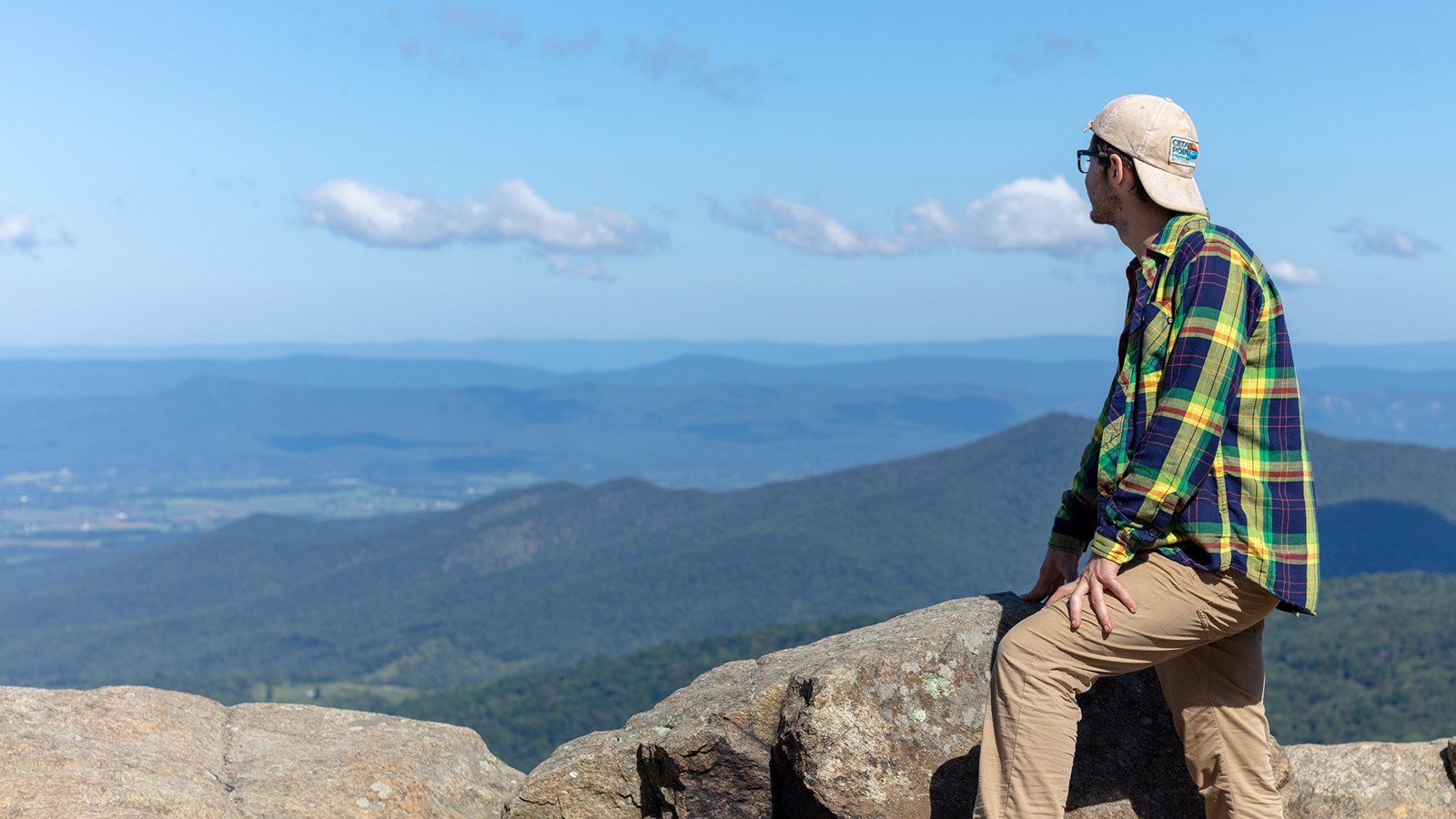
Many legends surround the name of this hike, but there is no denying the beautiful westward views that it provides of the Shenandoah Valley and Massanutten Mountain. Pets must be on a physical leash no longer than 6 feet at all times.
Note that very limited closures are in effect in an effort to prevent further degradation of important outcrop ecosystems on Marys Rock.
Distance: 3.7-mile round trip hike
Difficulty: Moderate (hiking difficulty scale)
Hiking Time: 3 hours 30 minutes
Elevation Gain: 1,210 feet
Hike Description
- From the trailhead located in the back of the Panorama Parking Area (mile 31.5), take the short connector trail to the Appalachian Trail and go left (south).
- At the trailpost take a right to the viewpoint.
- Retrace your steps back to the parking area.