Last updated: July 13, 2021
Place
Hawksbill Loop Trailhead
Quick Facts
Location:
Hawksbill Gap Parking Area (mile 45.5)
Amenities
1 listed
Trailhead
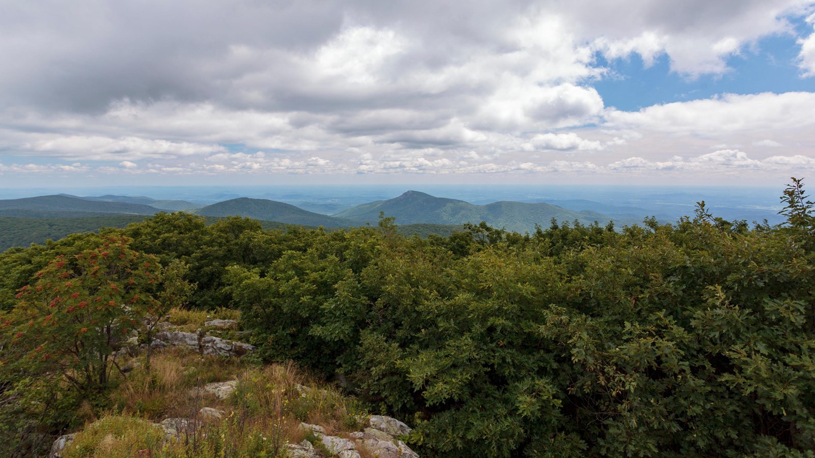
A circuit hike to Shenandoah’s highest peak. The viewing platform on top of Hawksbill offers a magnificent 360-degree view of the Shenandoah Valley, the Blue Ridge Mountains, and the Virginia Piedmont. Pets must be on a physical leash no longer than 6 feet at all times.
Note that very limited closures are in effect in an effort to prevent further degradation of important outcrop ecosystems on Hawksbill.
Distance: 2.9-mile circuit hike
Difficulty: Moderate (hiking difficulty scale)
Hiking Time: 2 hour
Elevation Gain: 860 feet
Hike Description
- From the north end of the Hawksbill Gap Parking Area (mile 45.5), take the short connector trail to the Appalachian Trail (A.T.).
- At the trail post, turn left onto the A.T. south.
- Continue on the A.T. south to the trail post indicating the Salamander Trail. Go left onto the blue-blazed Salamander Trail.
- At the next trail junction, turn left onto the Upper Hawksbill Trail. Be sure to take the short trail past the shelter to the viewing platform.
- To return to the parking area, be sure to take the blue-blazed Lower Hawksbill Trail, not the Upper Hawksbill Trail.