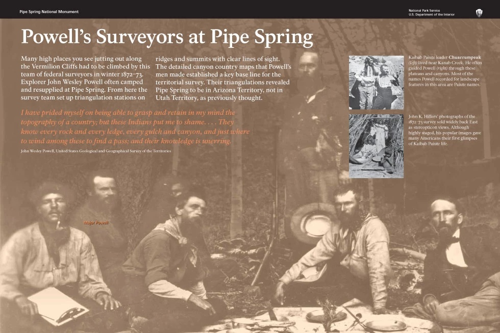
Many high places you see jutting out along the Vermilion Cliffs had to be climbed by this team of federal surveyors in winter 1872–73. Explorer John Wesley Powell often camped and resupplied at Pipe Spring. From here the survey team set up triangulation stations on ridges and summits with clear lines of sight. The detailed canyon country maps that Powell’s men made established a key base line for the territorial survey. Their triangulations revealed Pipe Spring to be in Arizona Territory, not in Utah Territory, as previously thought. I have prided myself on being able to grasp and retain in my mind the topography of a country; but these Indians put me to shame. . . . They know every rock and every ledge, every gulch and canyon, and just where to wind among these to find a pass; and their knowledge is unerring. 
Kaibab Paiute leader Chuarrumpeak

Major Powell |
Last updated: February 24, 2015