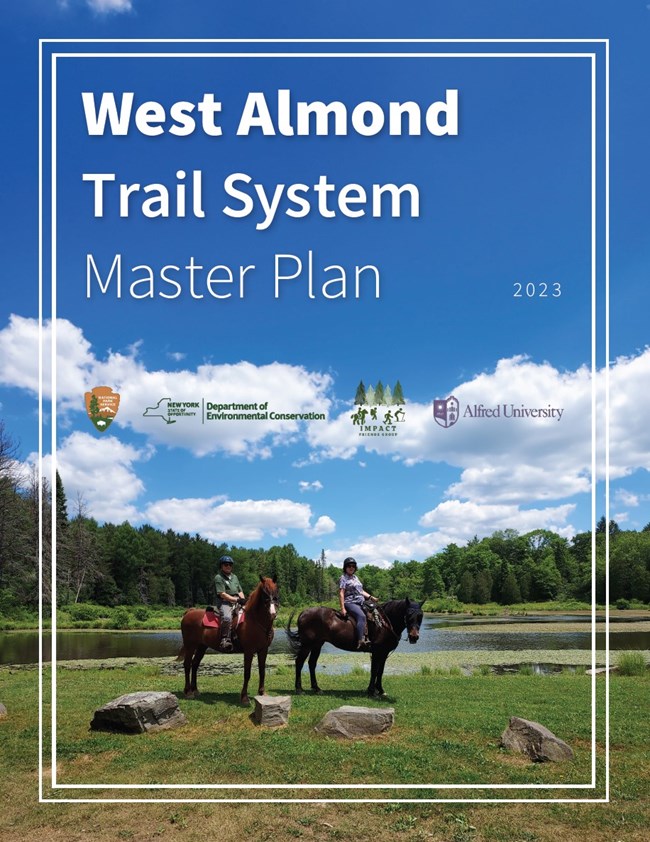
West Almond Trail System Master Plan
The West Almond Trail System Master Plan provides a blueprint for maintenance of the West Almond trails with links to ‘living’ documents attached as appendices for continuous improvements of the system. The document is intended to be a model for other trail systems in Allegany County, New York.
The West Almond Trail System is managed by the New York State Department of Environmental Conservation’s (NYSDEC) West Almond Forestry office in Allegany County. The trails are located within four State Forests: Phillips Creek, Palmer’s Pond, Turnpike, and Karr Valley Creek. IMPACT: Friends Improving Allegany County Trails, Inc. (IMPACT), is a nonprofit organization that collaborates with NYSDEC through a Volunteer Stewardship Agreement to improve and maintain the West Almond Trail System and other trails on public lands in Allegany County. This plan gives some of the history of the State Forests and identifies the various users of the trail. It also details how IMPACT is working with NYSDEC staff to improve and maintain the trails to protect the natural resources in a forest ecosystem and provide a quality, sustainable, outdoor recreation experience for the local community and visitors.
This document provides sustainable trail standard references for use when designing trail and camping improvement projects. Data collected during the analysis of existing trail conditions has been entered into the NYSDEC Geographic Information System (GIS) and will be updated regularly. The data will also be used to prioritize future trail improvement projects. This information will be very useful in applying for future funding opportunities for continuous trail improvement and maintenance projects. This plan has been created with a team of dedicated individuals from IMPACT, NYSDEC, Alfred University, and the National Park Service – Rivers, Trails and Conservation Assistance program (NPS-RTCA).
Last updated: February 6, 2024
