When the Category 4 hurricanes, Laura and Delta, swept through southwestern Louisiana in August and October of 2020, their high winds, heavy rains, and extensive flooding left a pattern of destruction across southwest Louisiana reaching more than 80 miles inland.
Showing the generational resiliency arising from the impacts of numerous storms, the disaster-impacted communities of DeRidder and Lake Charles, along with representatives of Calcasieu, Cameron, and Allen parishes, requested assistance from the National Park Service – Rivers, Trails, and Conservation Assistance program (NPS-RTCA) to help with the development of long-term recovery plans.
Working closely with local partners, the Federal Emergency Management Agency (FEMA) and the National Park Service helped facilitate six southwest Louisiana community-led projects focused on natural and cultural resource conservation, outdoor recreation, and nature-based tourism.
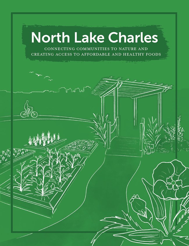
North Lake Charles, historically underdeveloped compared to other parts of the city, is designated as a “food desert,” making it difficult for residents to access affordable and healthy food. The area also lacks safe bike and pedestrian routes, complicating access to quality foods.
In 2020, North Lake Charles was selected for assistance through the Environmental Protection Agency’s Local Foods, Local Places (LFLP) program, resulting in a comprehensive Community Action Plan. Goals include improving food distribution systems, creating community gardening and nutrition education opportunities, promoting healthy eating, and activating underutilized areas.
In 2021, the City of Lake Charles requested natural disaster recovery assistance from the National Park Service Rivers, Trails, and Conservation Assistance program (NPS-RTCA) to help address the following components of the Community Action Plan’s goals:
- Assessing the impacts of local planning initiatives on North Lake Charles and Bayou Greenbelt.
- Improving bike and pedestrian connections, intersection functionality, and beautification.
- Identifying opportunity areas and uses for city-owned adjudicated properties.
- Creating an inventory of park facilities and advancing the revitalization of Goosport Park.
Download the PDF
Last updated: September 24, 2024
