Maps


A map of the United States with a trail from the midwest to Oregon.
Find Places to Go!

Places to Go along the Trail

Trip planning? This map highlights different sites that can be visited along the trail. You'll find museums, interpretive centers, and historic sites that provide information and interpretation on this interactive map!

 
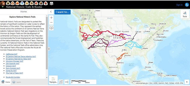
A map of the United States depicting a series of trails that stretch from east to west.
Check out this interactive map!

GIS Interactive Map

The National Park Service Geographic Resources Program hosts an Interactive Trails Map Viewer.


State by State Auto Tour Travel Guides

Loading results...
     

    Oregon National Historic Trail Topographical Map

    A color, topographical map of the entire Oregon NHT is available as a pdf file (2.36mb). Because the over 2,000 mile long trail covers parts of seven states, this map measures approximately 50" x 10".


    Last updated: May 20, 2024

    Park footer

    Contact Info

    Mailing Address:

    National Trails Office - Regions 6, 7, 8
    Oregon National Historic Trail
    1100 Old Santa Fe Trail

    Santa Fe, NM 87505

    Contact Us