Always carry a tide table, topographic map, and keep track of the time whenever hiking along Olympic's coast Plan AheadWith some research before your trip, you can time your hikes well and avoid being held up on the wrong side of a tidal restriction from your destination. You can also check to see if your timeframe is appropriate for your route to be passable. Throughout the year, there are periods of higher tides where several locations become impassible during daylight hours, sometimes for several days at a time.

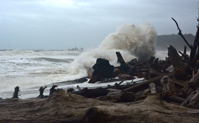
Hiking in the off-season?Strong winds or storms can significantly elevate tides and create hazardous conditions, particularly in the fall, winter, and spring. Be attentive to your surroundings and never underestimate the power of the Pacific Ocean. Before you head out for a coastal hike, it is always worth checking the marine forecast on NOAA:
Still have Questions? Drop by or call a Wilderness Center - Information Center Hours & Locations |
Last updated: December 6, 2023
