Butterfly Project

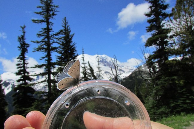
Small butterfly perched on a plastic lid.
Silvery Blue butterfly at Mount Rainier National Park.

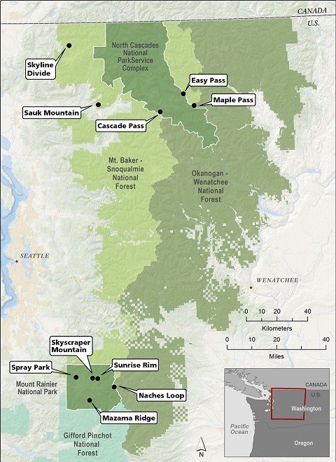
The Cascades Butterfly Project is a long-term monitoring project in which volunteer community scientists document butterfly abundances and plant flowering times in subalpine meadows to learn how climate change is altering ecosystems. Surveys are conducted on ten routes in North Cascades National Park, Mount Baker-Snoqualmie National Forest, Okanagan-Wenatchee National Forest, and Mount Rainier National Park.
Both butterflies and plants are sensitive indicators of climate change, because air temperatures and precipitation influence their distributions, butterfly flight times, and plant flowering times. Weekly monitoring of the abundance of butterfly species and flowering plants provides a glimpse into how subalpine ecosystems are influenced by climate change.

 
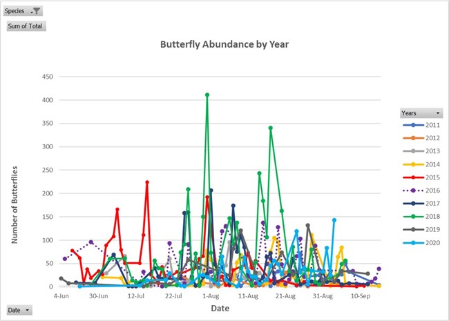
Colorful graph of butterfly emergence by date
Number of butterflies documented on survey routes by date, with each year in a different color.

Crews have documented 57 butterfly species on survey routes. Some years, such as 2015, had early emergence or flight times. 2015 (depicted in red on the graph to the left) was a very warm, dry summer following a winter with low snow pack. Most other years had larger peaks in late July or early August. 2018 (depicted in green) had higher numbers of butterflies than all other years.
 
hiker holding butterfly net on trail
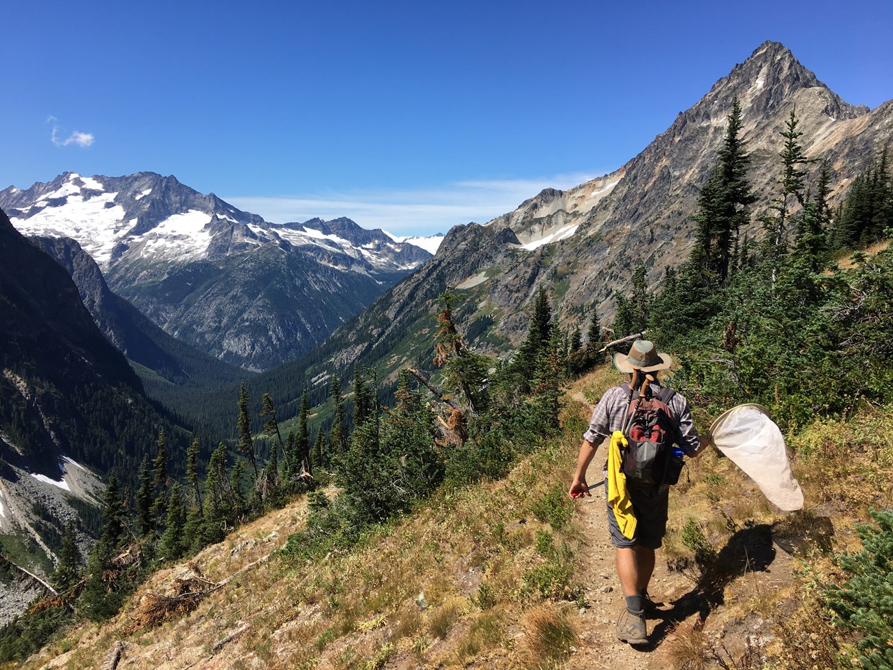
Conducting surveys in North Cascades National Park.

We are looking for volunteers to help on this project!
 
Butterfly survey routes map
Survey Locations

Photo-inventories
Have a camera? A map or GPS? Like to hike? We have documented 57 species on the ten survey sites, but there are a lot of places we don’t survey so your observations are very important.

  1. When you are hiking and can get a detailed photo of a butterfly, snap it, and mark your location on a map or record the GPS coordinates (your camera or camera phone may do this).
  2. At home, upload the photo to the Butterflies and Moths of North America Project (BAMONA) and mark the location of the photo on the map.
  3. Butterfly experts will verify your identification or identify the butterfly for you. In a couple of weeks, you will be able to see your photo and observation on the website.


Quantitative Butterfly Transects

There are ten permanent survey routes located in the four study areas. Each survey route is 1-km in length and is surveyed at least one time per week between snowmelt and mid-September. Volunteers document every butterfly that flies along the route and flowering of a select number of plants (see the map for survey routes).

If you are interested in learning butterfly identification in the field and learning scientific protocol, this is the project for you. Contact us to be added to the mailing list.

Last updated: June 16, 2021

Park footer

Contact Info

Mailing Address:

810 State Route 20
Sedro-Woolley, WA 98284

Phone:

360 854-7200

Contact Us