Couldn't get a permit for Boston Basin? Think you've done all the classics in the Park? Why not try your luck on Mount Blum? Steep approach, classic alpine ambiance, and not a lot of people.
Blum Lakes Approach:
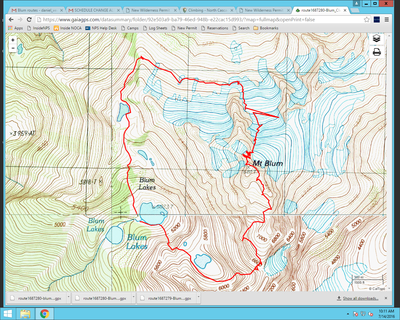
Locate the faint climber's path on the north bank of Blum Creek. Initially the trail is hard to follow through brush, but eventually flagging appears and it becomes more obvious. Take care to stay on the trail, as travel off the trail is difficult. Follow periodic flagging up steep forest through blueberry and devils club until approximately 4500', then traverse up and south towards a talus field at 4900'. Traverse the talus field towards Lower Blum Lake. There is an obvious trail on the south side of the stream connecting upper and lower Blum Lakes, follow this to upper Blum Lake (5,023). Trail is snow free to this point. In general this approach is steep and difficult.
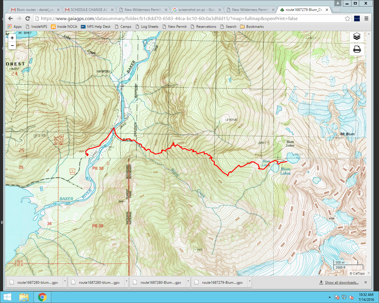
*The above route is for reference only and is not an established "trail".
We checked out the higher lakes at 5900', they were still mostly snow covered and the camping at Upper Blum is nice so we camped there. We did find some illegal fire rings, remember there are no fires allowed in the Blum Cross Country Zone.
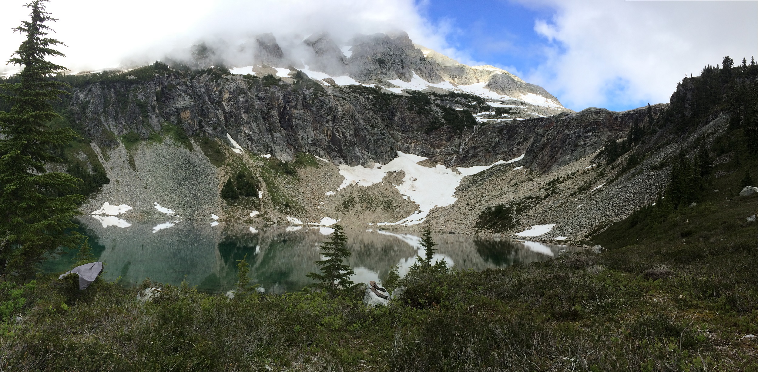
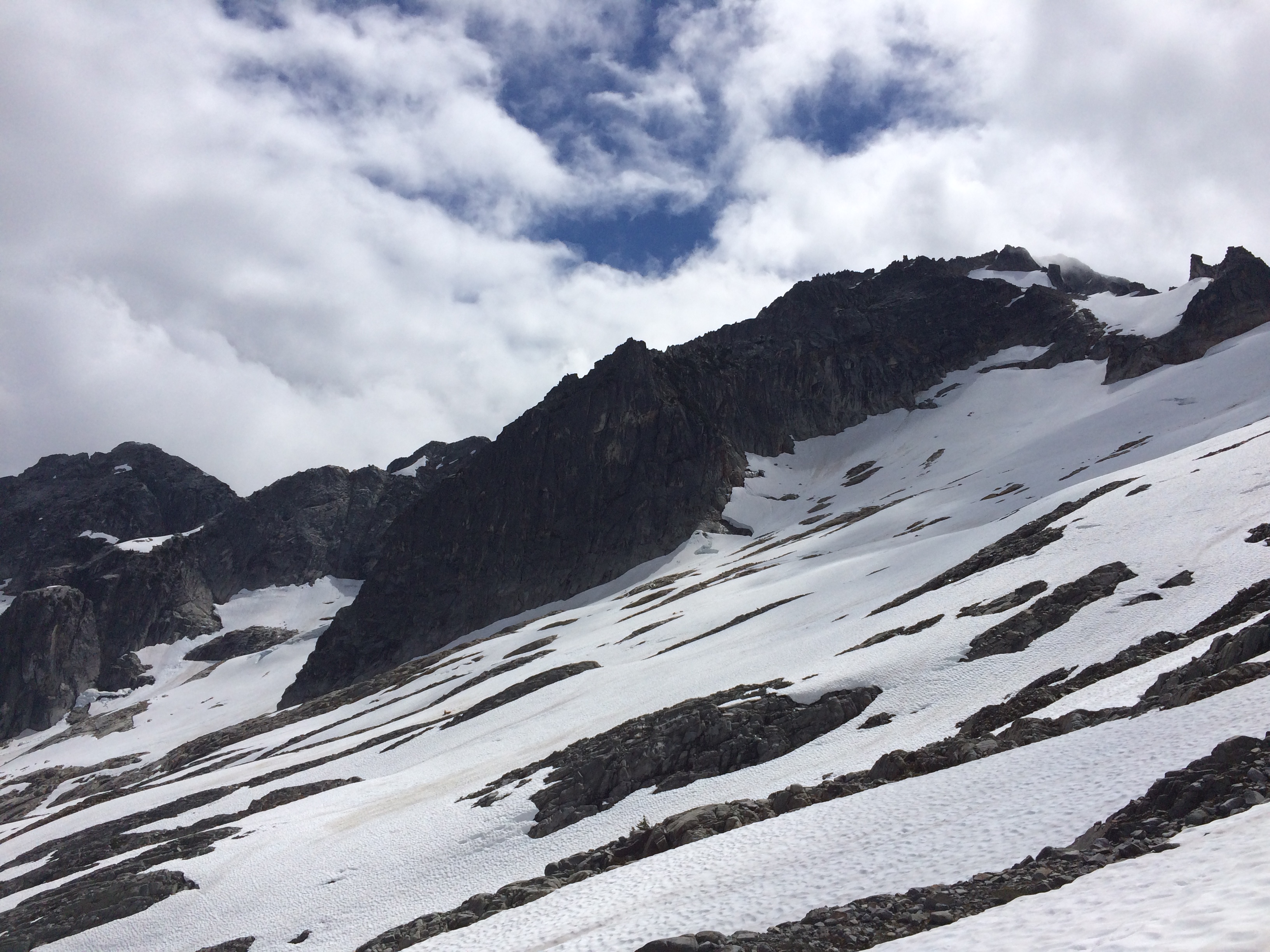
We traversed from Upper Blum Lake around to the north side of the mountain. Travel was straightforward, with patches of snow easily traversed. We passed below the North Ridge, which looks like a good route. It was snow free and it looked like it would currently be easy to access the start. The weather forecast encouraged us to chose the fastest possible route at that point, which seemed to be the North Glacier route, a Gordy and Carl Skoog route done in 1988.
North Ridge on skyline:
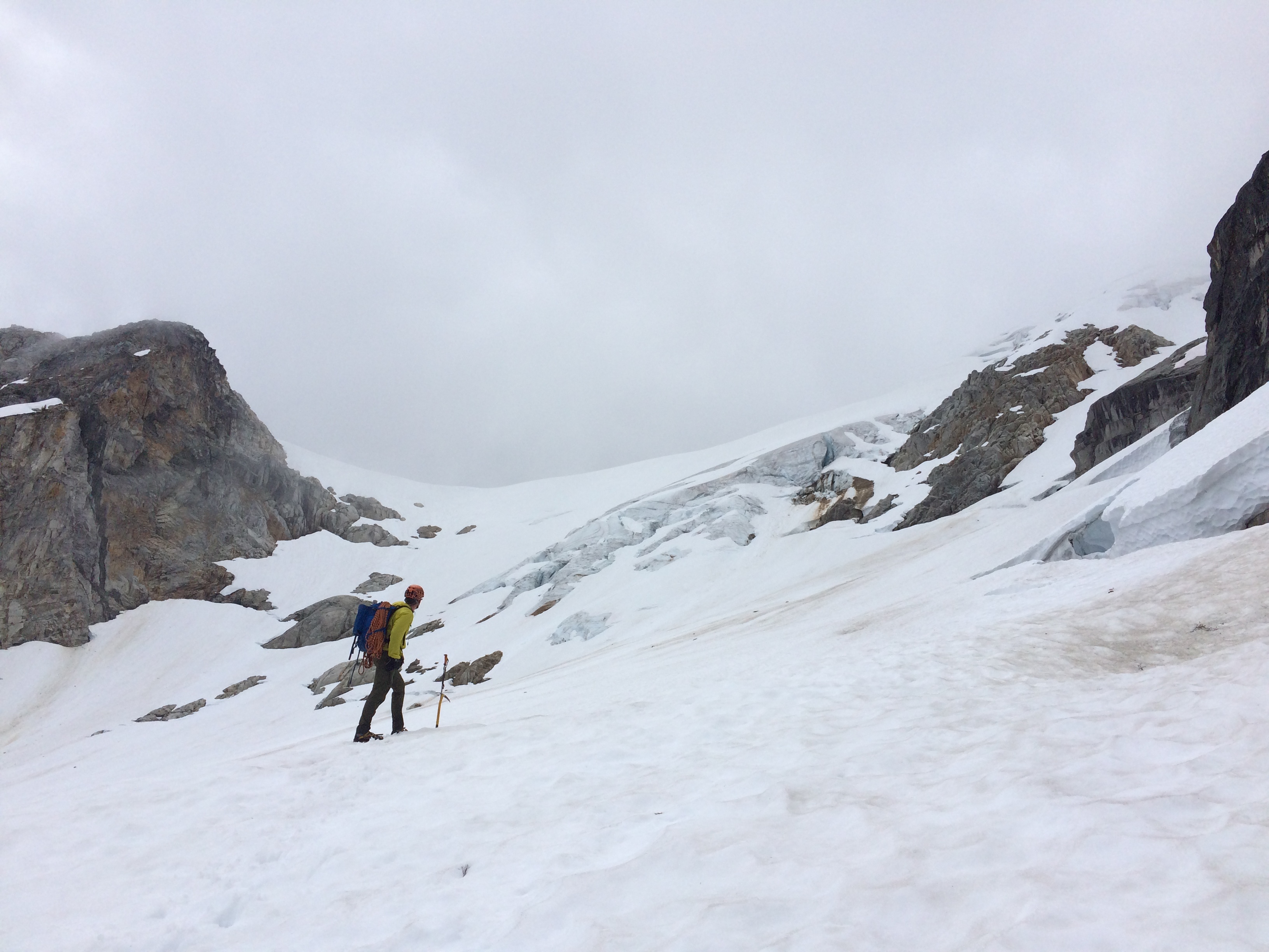
We ascended the North Glacier, protecting the steeper snow with pickets. One ax and aluminum crampons were sufficient. The glacier had few crevasses, which were easily avoidable. Transitioning off the snow onto the summit rock pyramid required 2 short pitches of 4th/low 5th class rock climbing. The quality ranged from terrible to reasonable. The rock on the North Ridge looks much better.
Starting up the North Glacier, our route followed the snow gully on climber's right:
Summit of Blum in nice NW weather:
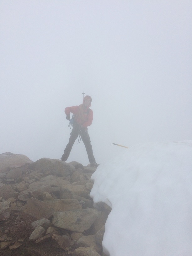
We descended the SW Ridge, which is the standard ascent route on Blum. The ridge was straightforward enough to descend, although we did reference our GPS often as we had poor visibility. And rain. We descended the ridge to a col at 6600, where there is a rock/snow gully that leads down to the cirque lake at ~6000'. Once at that lake there are a few different options to descend the rest of the way to Upper Blum Lake.
All in all, Mount Blum is a great option for those up for the physical approach, with a variety of routes available and a beautiful spot to camp.
-Climbing Rangers
