We braved the rain along with several other skiers and climbers this Memorial Day weekend to check out the conditions in the Eldorado Basin. Here are some photos:
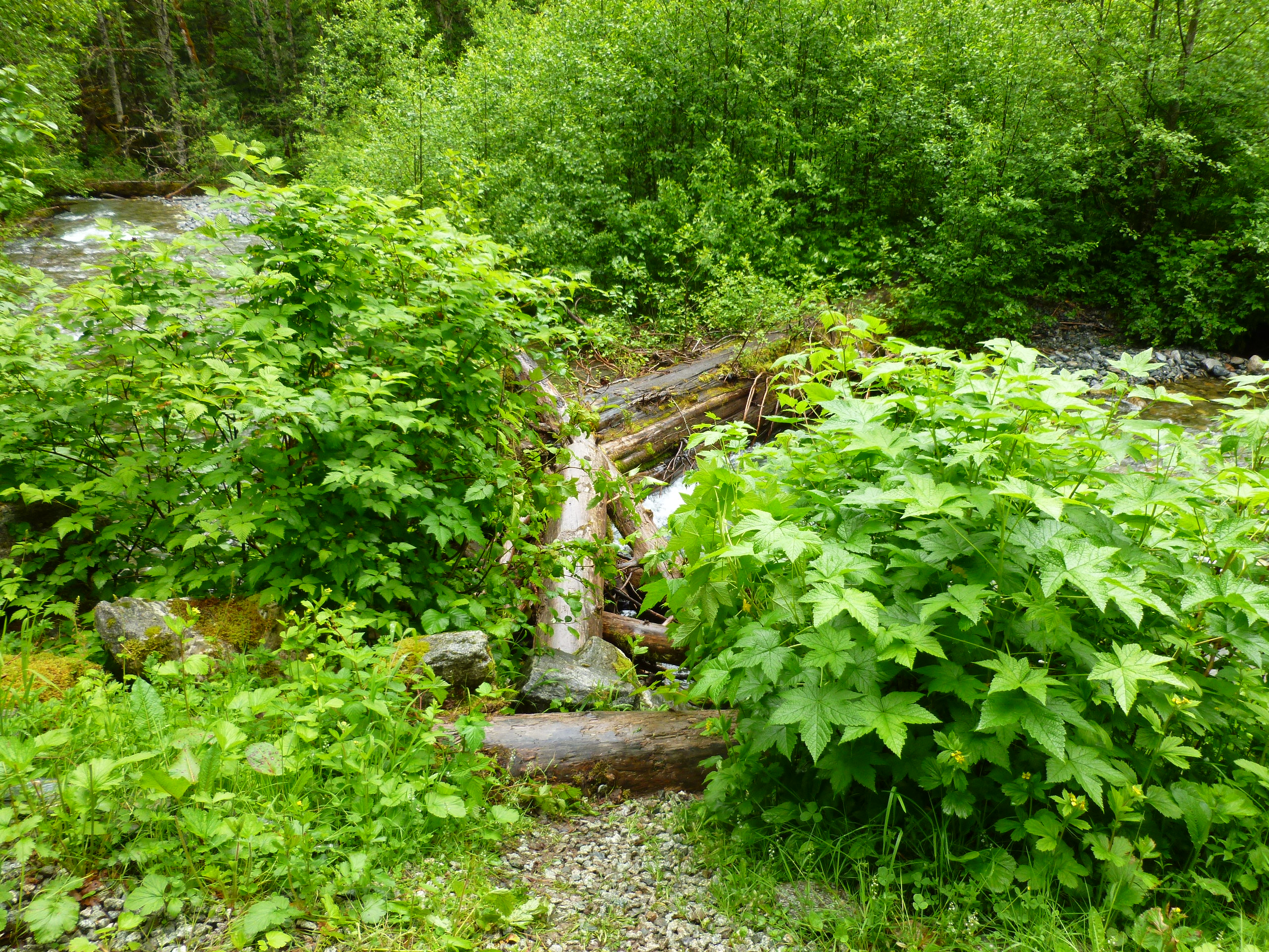
First of all, a view of the log crossing from Cascade River Road. This is about 200 feet west of the Eldorado pullout.

After this initial crossing to a gravel bar, there is a second crossing comprised of several downed logs. After the second crossing, look into the woods and slightly right (about 100 feet) to locate the information sign marking the start of the unmaintained climber's path.
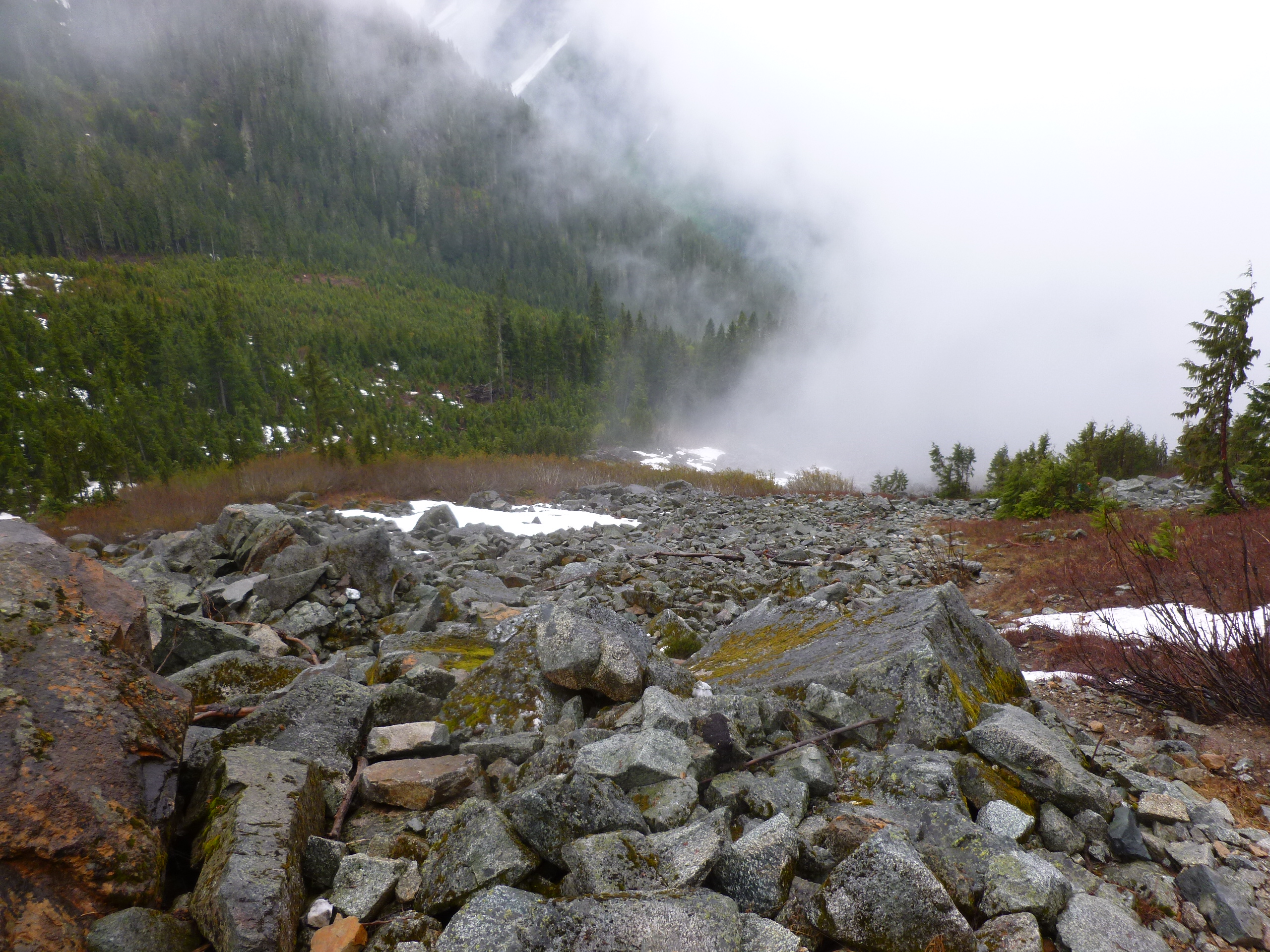
The climber's path is steep and muddy, please try and stay on the path. It's pretty obvious once you're on it. You will enter the first boulder field around 4,000', look for cairns marking a traverse to the other side. Once on the climber's right side, there are bits of trail and cairns that lead to the second boulder field. Around 4,600' in the second boulder field, ascend to the climber's left side to find a trail. There are cairns leading up the climber's right side of this boulder field, but the route is easier if you go to the left (west) edge.
Both boulder fields are mostly snow free.

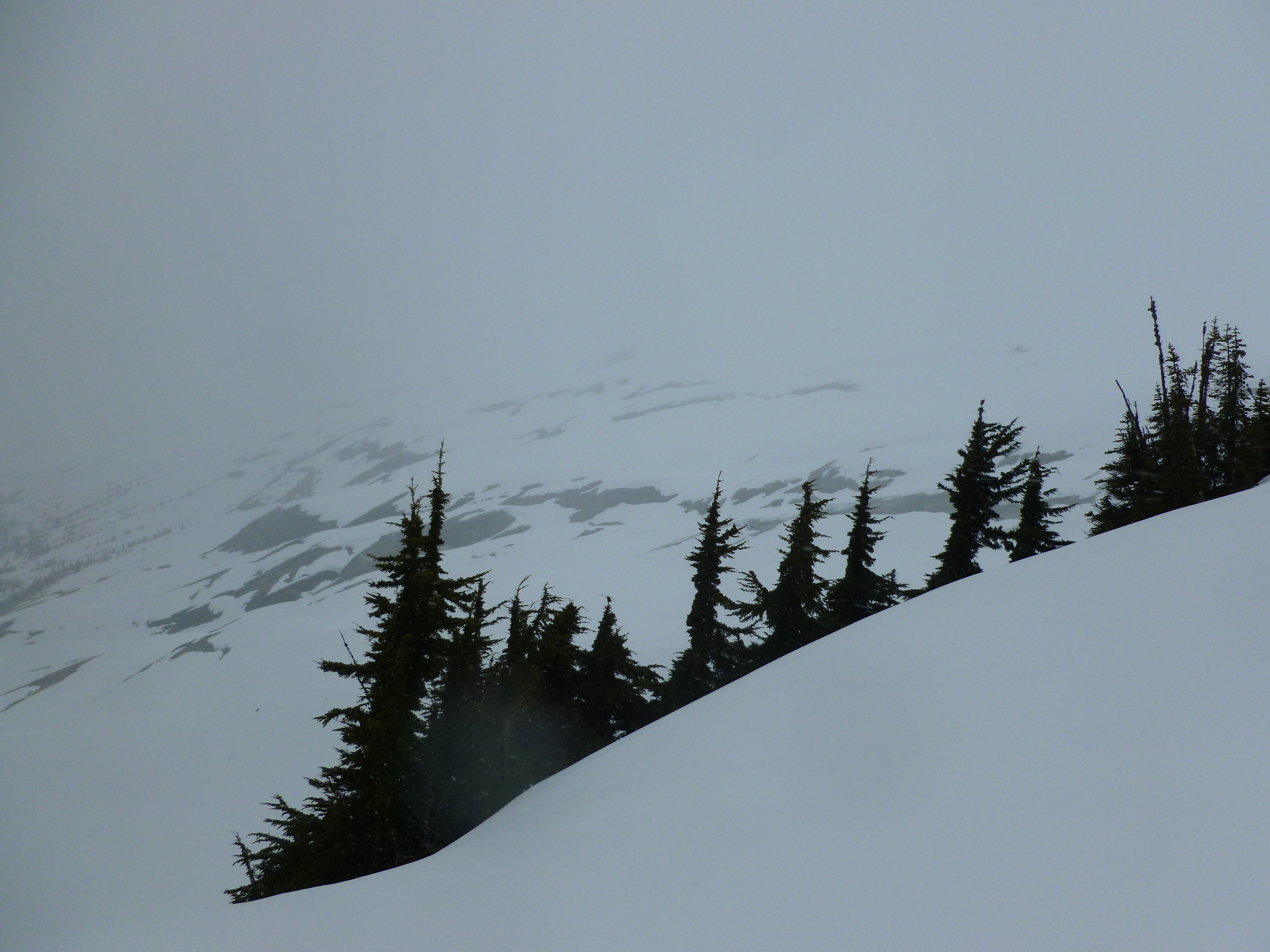
Snow line is currently at about 5,200', at the top of the second boulder field. The route is continuous snow from that point on. Watch for punchy snow bridges over running water this time of year!
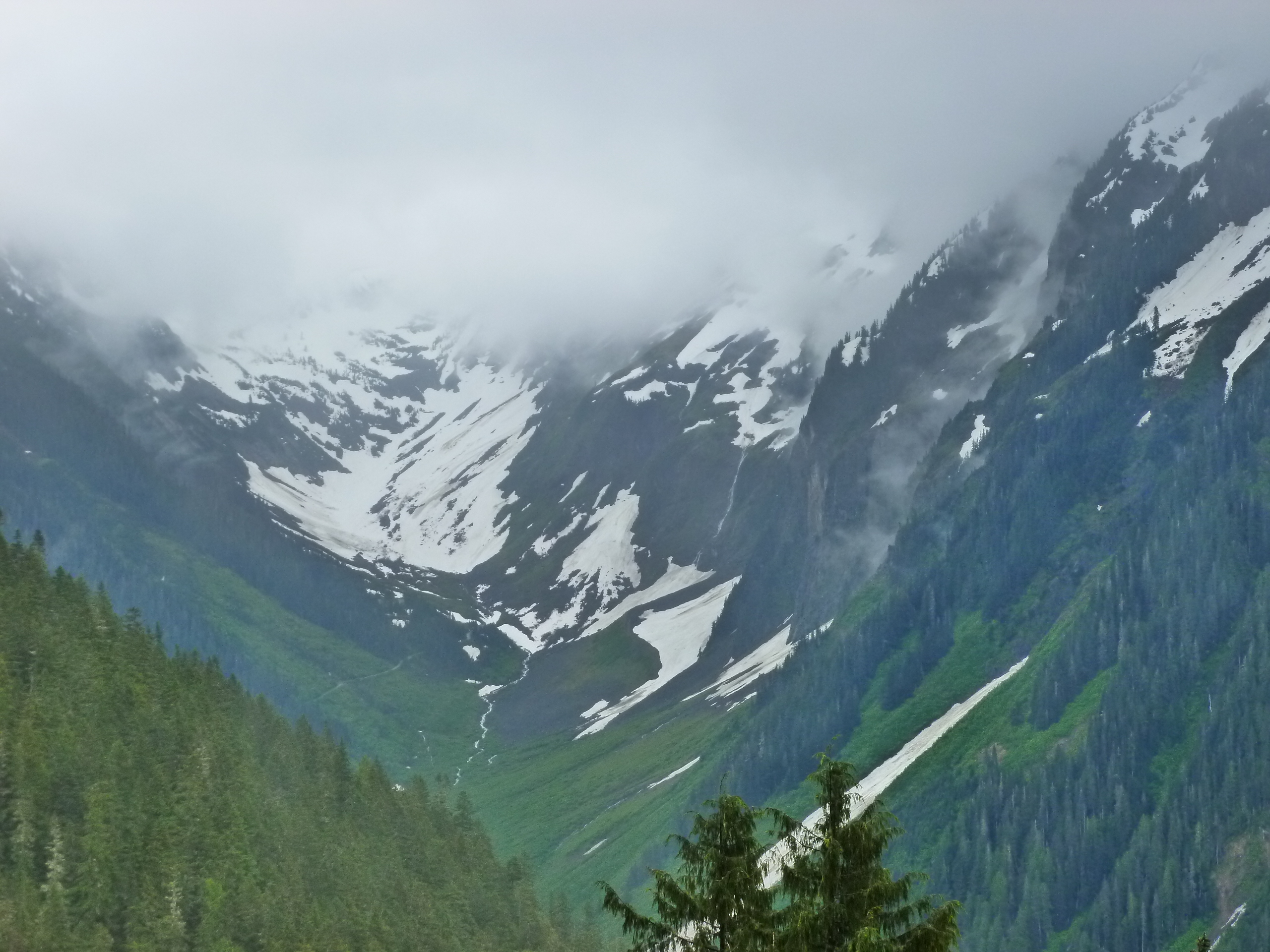
This view is of the Roush Creek drainage, showing the very bottom of the Eldorado Glacier:

The 3rd class gully leading from the divide down to the Eldorado glacier is partially snow free at the top, but snow filled the rest of the way. Remember, camping is only allowed at this spot while the ridge is completely snow covered.
The bivy spots at the base of the East Ridge are still snow covered, as well as the composting toilet. Remember to bring at least one blue bag per day for your trip!
Looking up towards Cascade Pass:

Remember that you must obtain your permit for camping anywhere in the backcountry accessed via Cascade River Road in person at the Wilderness Information Center in Marblemount. Self issue is not allowed this time of year for this area.
Current hours for the WIC are:
Sunday-Thursday: 8am-4:30pm
Friday and Saturday: 7am-6pm
