NPS photo/Dave Bieri
Historic Nuttallburg offers three opportunities for exploration. Follow trail markers to historic sites along one or all three trails, depending on the amount of time you have available. Trail numbers of the following descriptions correspond to the trails on the map. A vault toilet is located at the trailhead parking area. Drinking water is not available in Nuttallburg. Safety first! Use caution around railroad tracks. Active lines are operating throughout the day. 
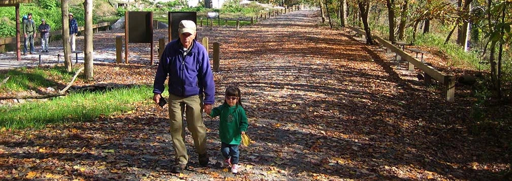
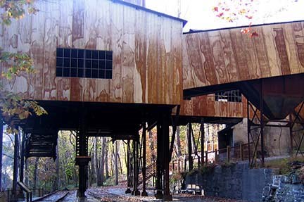
NPS photo/Dave Bieri Tipple Trail0.6 miles, 45 minutes - 1 1/2 hours, easyTo begin, walk back along the roadway to visit the site of the African American community and depot (not included in mileage estimate). Then, from the parking lot, follow the main road to the tipple and coke ovens. A 1/4 mile trail on the northwest end of Nuttallburg leads to Seldom Seen, a group of building foundations further down river. The railroad mainline connected Nuttallburg with the world beyond. Newspapers, mail, and supplies arrived via rail. Some mining towns in the New River Gorge depended upon the rail for all outside interaction. Nuttallburg had road access, but most of its residents did not have automobiles. 
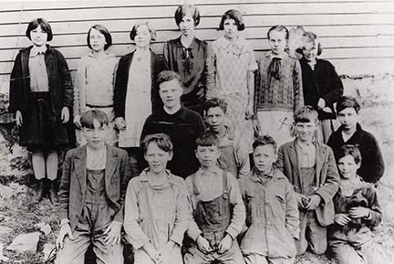
Town Loop Trail1.3 miles, 2-3 hours, moderateContinue up the hillside to the school, church and homesites of Nuttallburg residents. Mileage and time estimate include time on the Tipple Trail. In 1922, 80% of all coal miners in the state lived in company-owned towns. Nuttallburg typifies an Appalachian coal town of this era. Homes were carved into hillsides, stacked from the river up the steeply sloped gorge towards the mine opening. Many were built upon piers that can still be seen today. Communities were socially and economically selfcontained with a company store, churches, schools, clubs and athletic teams. Although all races and nationalities worked together in the mines, above ground Short Creek divided Nuttallburg into two racially-distant neighborhoods. African American families lived on the east side and white families on the west side of the creek. 
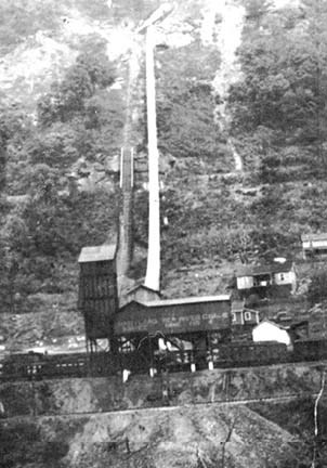
Conveyor Trail3.0 miles, 5-6 hours, strenuousThe trail begins at the Keeneys Creek Rail Trail, then zig zags up the steep slope to the mine entrance, headhouse and beginning of the conveyor that carried the coal from top to bottom. Mileage and time estimates are round trip from the Nuttuallburg parking area to the headhouse and back. An alternate route to the area is the Headhouse Trail, accessed from Lansing-Edmond Road. The mines at Nuttallburg were “drift” mines, meaning the mine entrance was at the same level as the coal seam. The seam at Nuttallburg, the Sewell seam, was approximately three and one-half feet thick and contained coal that was easily broken, or “friable.” Moving it from mine to coal car intact presented a challenge, although one worth undertaking as the smokeless coal of New River mines produced a high quality fuel coke required for steel production. Coal of this quality was found in only two other places in the United States. Caution: This section of trail is steep and narrow and may be difficult to follow when covered with leaves. Caution is also advised when wet. |
Last updated: January 6, 2020
