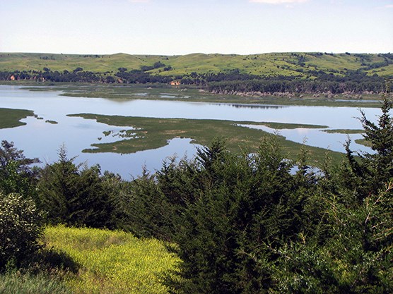
NPS photo Lewis and Clark National Historic Trail is approximately 4,900 miles long, extending from Pittsburgh, Pennsylvania, to the mouth of the Columbia River, near present day Astoria, Oregon, following the historic outbound and inbound routes of the Lewis and Clark Expedition plus the preparatory section from Pennsylvania to Wood River, Illinois. The trail connects 16 states (Pennsylvania, West Virginia, Ohio, Kentucky, Indiana, Illinois, Missouri, Kansas, Iowa, Nebraska, South Dakota, North Dakota, Montana, Idaho, Washington, and Oregon) and many Tribal lands. The trail was established by Congress in 1978 as part of the national trails system (NTS) as one of four original national historic trails and extended by 1,200 miles in 2019. Today, visitors can follow the approximate route of the Corps of Discovery (Lewis and Clark Expedition Members) by exploring the trail using a variety of transportation methods and interpretive means. Lewis and Clark National Historic Trail Visitor Centers The National Park Service administers the Trail and operates a Visitor Center at Trail headquarters in Omaha, Nebraska. However, there a many opportunities for visitors traveling the Trail to learn more about this expedition and to experience the diverse landscape and peoples of the Trail through Visitor Centers and Cultural Centers owned and operated by others. These may be other federal agencies, state, county or local governments, or Tribal governments. Private and non-profit organizations also operate some of these centers. To learn more about travelling the trail, please visit the Lewis and Clark Trail Alliance's Lewis and Clark Travel page at www.lewisandclark.travel.
|
Last updated: November 19, 2025
