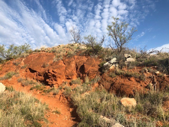
South Turkey Creek Trail

Turkey Creek Trail on a sunny day with blue skies.
South Turkey Creek Trail

NPS Photo

 
Turkey Creek Trail up a mesa on a sunny day with blue skies.
South Turkey Creek Trail on a sunny day.

NPS Photo

South Turkey Creek Trail begins on the left side of the road shortly past the entrance into Harbor Bay next to a picnic area. Hike on this beautiful trail along the shoreline of Lake Meredith through several habitats. The first section of the trail covers almost 6 miles to South Turkey Creek and an additional loop measures approximately 4 miles. The total length of South Turkey Creek Trail is approximately 16 miles of rolling hills, lake views, and deep canyons.

Caution: A portion of South Turkey Creek is under water roughly 1.2 miles from the trailhead. The remainder of the trail is located beyond a boulder field. We are working on this issue.


Map of South Turkey Creak trail
South Turkey Creek Trail Map

Last updated: April 11, 2024

Park footer

Contact Info

Mailing Address:

Lake Meredith National Recreation Area
P.O. Box 1460

Fritch, TX 79036

Phone:

806 857-3151

Contact Us