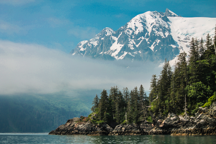
Kenai Fjords National Park encompasses more than 400 miles of rugged coastline. This field season I have the mildly overwhelming yet incredibly exciting task of covering this entire coastline. For what reason? This year I am working on a cave and coastal features inventory of Kenai Fjords National Park.

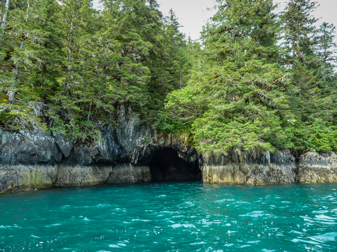
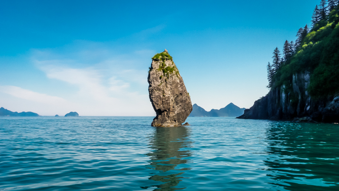
Many areas of the coast of Kenai Fjords are exposed to the Gulf of Alaska and endure pounding from large storm waves and heavy swells. Over time, the bedrock cliffs erode forming sea caves, arches and stacks. These features were observed and noted for their scenic value even before the National Park was established. In addition to their beauty, these coastal features create an ideal habitat for nesting seabirds and are a potential habitat for bats. The caves of Kenai Fjords National Park were also used historically by local native people.
While we know that the caves, arches, and stacks are here in the park, we don’t really know anything else about them. Where are they located? How many caves, arches and stacks do we have? What size are they? What areas of the park are more susceptible to cave formation? We are working on building a baseline dataset that will help the Park better manage these potential wildlife habitats, protect cultural resources, and document changes to features.


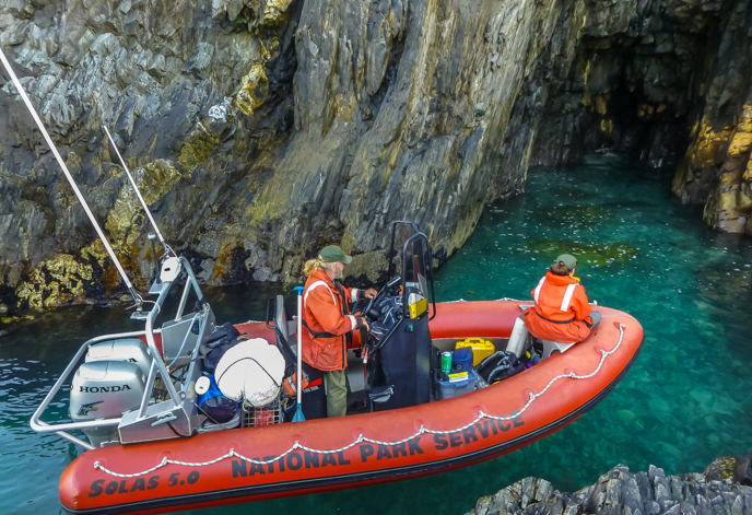
We do this survey by boat and I feel a bit like an explorer, getting to travel to remote areas of the Park and never knowing what we’ll find around the next corner. Each day we begin at our starting point and motor along the shore, keeping our eyes open for cave entrances, arches, stacks, shelters (cave-like erosions that are not quite deep enough to be considered a cave yet are still potential habitat), and any unique features that should be noted. It is amazing how your perspective changes from different distances and angles so it is important to scan both ahead and behind the boat. Once we spot a cave entrance, we measure depth and entrance width and height using a laser rangefinder. We take note of the tide status, the marine conditions, what area of the shorezone the cave is located, and collect a GPS point and a photo. On some occasions we have observed birds in the caves and we document that as well. Other unique features that we have mapped include “windows”, groups of bedrock islands, and unique geologic features.
With over half of the coast completed, we already have mapped an astounding number of features; 307 caves, 42 arches, 45 stacks, 77 shelters, 54 unique features and counting. We’ll be finishing our field survey next month, well before the winter storms return to continue shaping the ever-changing coastline of Kenai Fjords National Park.

