
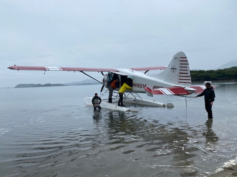
We spent a good part of the morning on standby at King Salmon, waiting for the ceiling to lift enough for a safe departure. The quickest route through Katmai pass was completely socked in, forcing us to travel the 1.5 hr journey south along Becharof Lake and the up the coast to Amalik Bay.
Over the next ten days we contacted groups who had arrived via float planes, fishing vessels, and even private sailboats. Some anchored in the bay with the sole intention of bear viewing, while others just happened across Geographic Harbor while seeking shelter from severe weather.
We spoke of the lengthy journeys embarked on to arrive at this slice of paradise, which brought up the question – what if one could drive here? It may seem like a far-fetched idea at this point in time, but it was an ongoing conversation from the 30s that was revived multiple times until the ANILCA act was passed in 1980.
With Katmai in mind, ANILCA noted that “The monument addition and preserve shall be managed for the following purposes, among others: To protect habitats for, and populations of, fish and wildlife including, but not limited to, high concentration of brown/grizzly bears and their denning areas; to maintain unimpaired the water habitat for significant salmon populations; and to protect scenic, geological, cultural, and recreational features.”
An informal survey in 1921 conducted by the Alaska Road Commission stated, “It appears that a road from any Pacific entrance would be prohibitive in cost, if not impossible. The deep ashes mentioned drift around like snow with every wind. It lies on the steep slopes like so much ground coffee and is always ready to slide when disturbed. Until vegetation has again penetrated it, and formed a sod or soil as a binding, it will not pack and can not be held in place."
With Katmai in mind, ANILCA noted that “The monument addition and preserve shall be managed for the following purposes, among others: To protect habitats for, and populations of, fish and wildlife including, but not limited to, high concentration of brown/grizzly bears and their denning areas; to maintain unimpaired the water habitat for significant salmon populations; and to protect scenic, geological, cultural, and recreational features.”
“...that a road be planned and constructed by the state and the federal government from the Bristol Bay area through the Mount Katmai National Monument to the southern coast of the Alaska Peninsula” and “that the Kodiak-Homer ferry system be extended by the state to include a terminal at the east end of this road…”
NPS Director George Hartzog told state officials in 1968 that any new roads “would be particularly destructive to park values.”
What would Geographic Harbor look like if the road had been built? Robert F. Griggs, the National Geographic Society’s expedition Leader commented “only 50 or 60 miles of automobile road is needed to open up all the wonders of the area to the public. When that is constructed, the traveler may tour the Katmai National Monument as easily as he now visits the Yellowstone.
You can find more information on Katmai’s creation in “Building in an Ashen Land: Historic Resource Study of Katmai National Park and Preserve” by Clemens & Norris.