Rivers and Streams

River and dam remains
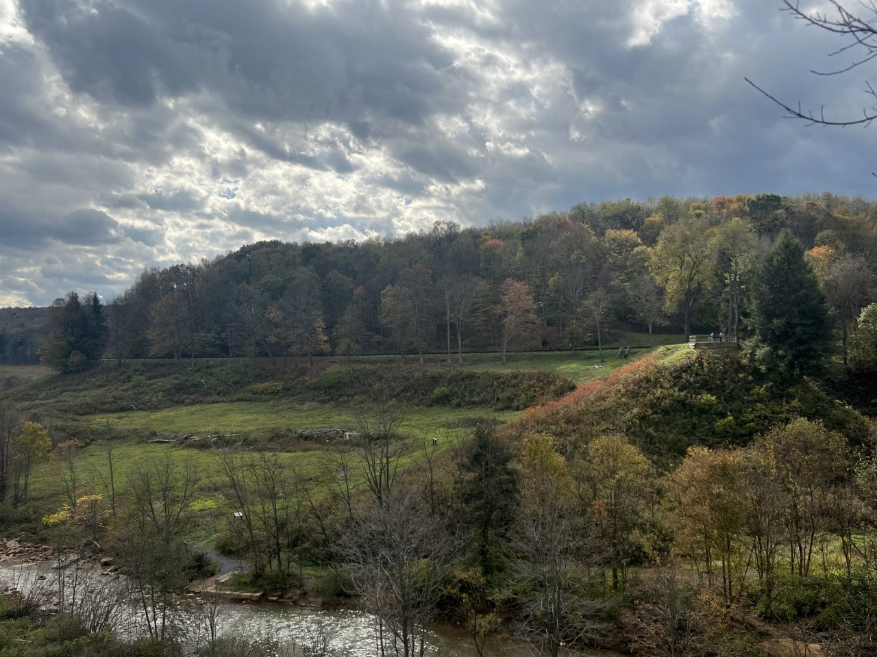
The South Fork of the Little Conemaugh River in the foreground with the South Abutment rising above.

NPS

The South Fork of the Little Conemaugh River, also known as the South Fork Creek, flows through the park and the remains of the dam. This rocky, shallow stream is approximately 20 feet wide with a swift current, especially in the spring. It was deemed an adequate water source for the South Fork Dam when contruction began in the 1830s. It is one of the bigger creeks that flows down from the Allegheny Mountains, doubling the size of the others. It was one of the best troute streams in the state of Pennsylvania during the days of the South Fork Fishing and Hunting Club. It is the tributary of the Little Conemaugh River, where it joins in South Fork. From the South Fork Dam to Johnstown, following the river, is 14 miles.

John Parke, resident engineer at the Club House in the summer of 1889, described the South Fork Creek on May 31 as "a perfect torrent, sweeping through the woods in the most direct course, scarcely following its natural bed, and stripping branches and leaves from the trees five and six feet from the ground." -The Johnstown Flood, David McCullough

The South Fork of the Little Conemaugh River can be viewed from the North and South Abutments and the Visitor Center.

Learn about the enivoronmental impacts on the South Fork of the Little Conemaugh River.

Last updated: January 15, 2022

Park footer

Contact Info

Mailing Address:

733 Lake Road
South Fork, PA 15956

Phone:

814 886-6171

Contact Us