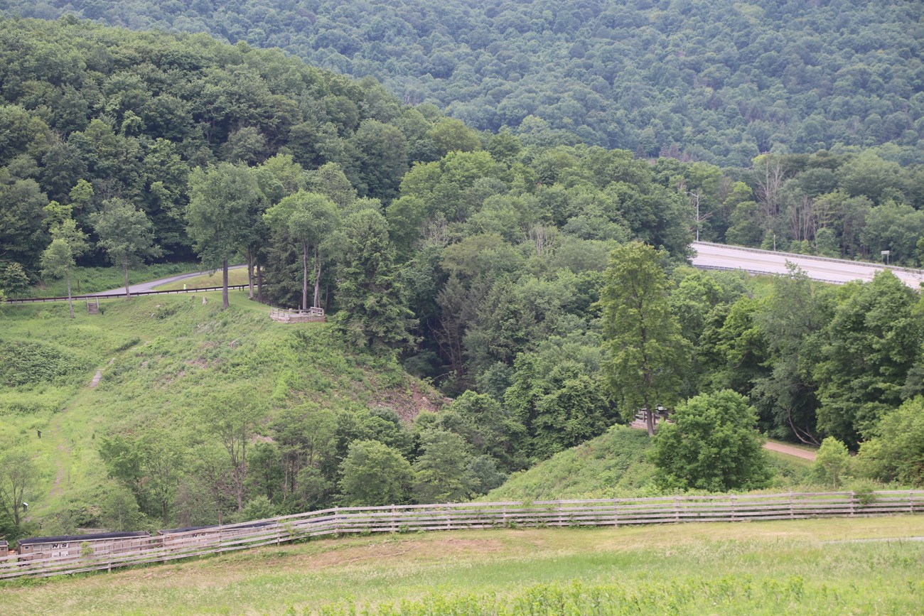
To the layperson, the South Fork Dam was an impressive structure. Mostly forgotten about by the 1870s-1880s, it was also a menace, over the heads of the people of Johnstown and the Conemaugh Valley. The history of the South Fork Dam is a story of an immense structure that was never given the care such a structure demanded. A timeline of the South Fork Dam:1830s- Pennsylvania constructed the Pennsylvania Main Line Canal from Philadelphia to Pittsburgh; the canal's Western Division had its eastern terminus at Johnstown. 1834- During the canal's first season, it was realized that the Conemaugh River could be problematic during drought situations. That same year, Pennsylvania called on engineer Sylvester Welch to find a spot for a feeder reservoir and he selected a spot on the South Fork Creek for construction of the South Fork Dam and Western Reservoir. 1836- Pennsylvania legislature passes an act for the construction of the South Fork Dam. 1839- Engineer William Morris conducts another study for the state concurring with Sylvester Welch's report that the South Fork Creek was the best place for a canal feeder reservoir and, ironically, the safest location for a dam in the event of spring flooding. Engineer Morris provides the specifications for the dam. 1840-1841- Construction finally began. The contractors were James Moorhead of Pittsburgh and Hezekiah Packer of Williamsport. 1842-1851- For many reasons, work was stopped and the dam was only half-completed; later studies by civil engineers concluded that this work stoppage caused damages to the South Fork Dam that led, in part, to its failure on May 31, 1889. 1847- The half-completed South Fork Dam failed for the first time. 1852- On June 10, the Western Reservoir was finally dammed. 1853- South Fork Dam and Western Reservoir is deemed ready for operation. 1854- The Pennsylvania Main Line Canal went out of business. 1857- The Pennsylvania Railroad bought the entire route of the Pennsylvania Main Line Canal, including the South Fork Dam. 1862- Due to heavy rains and lack of maintenance, the South Fork Dam failed for the second time. The water in Johnstown was raised only 2-3 feet. 1863- The canal between Johnstown and Blairsville was closed, meaning there was no longer a viable reason to maintain the South Fork Dam. 1875- Pennsylvania Railroad employee and US Congressman John Reilly, bought the South Fork Dam for $2,500.00. He removed the five sluice pipes at the base of the dam. This had two deleterious effects on the dam: it aggravated a sag at the top of the dam, making it more susceptible to overtopping. This course of action also limited the options for safe removal of excess water. 1879- Reilly sold the dam to Benjamin Ruff, who bought it in the name of the South Fork Fishing and Hunting Club of Pittsburgh. The Club inadequately patched the holes from the 1862 break; never replaced the sluice pipes; lowered the top of the dam to make it wider for carriages; and put fish screens over the spillway. These screens clogged on May 31, 1889, meaning that as the rains continued to fall, the only way for water to get out was to overtop the dam. 1889- Sometime around 3:10 p.m. on May 31, the dam failed sending 20,000,000 tons or 3,600,000,000 gallons of water hurtling toward Johnstown. This flooding resulted in the deaths of 2,209 people, the loss of 1,600 homes, and over $17,000,000 in property damage. The South Fork Dam in 1853 and 1881. 

Left image
Right image

NPS/Harpers Ferry Center 
NPS/Harpers Ferry Center |
Last updated: January 19, 2026
